Browse Items (1954 total)

http://www.ricdigitalcommons.com/temp/5029.jpg
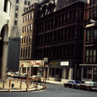
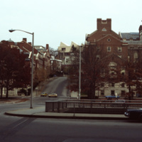
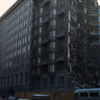
Downtown Providence, on the corner of Weybosset St and Westminster St.
Pictured on the left is the Turk's Head Building with some minor street construction in front of it. The Turk's Head Building was constructed in 1913 by the Brown Land Co. At…

http://www.ricdigitalcommons.com/Baxter_temp/CV-89-063.jpg
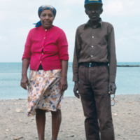
An older couple, unidentified, poses for a photograph by the shore on Maio. This photo is believed to be taken near Calheta, a small coastal village.

Tags:

http://www.ricdigitalcommons.com/Baxter_temp/CV-83-025.jpg
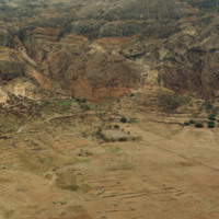
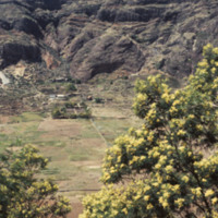
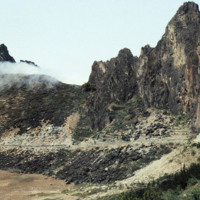
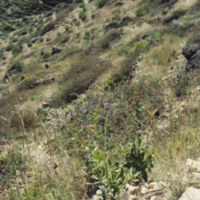
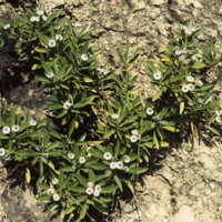
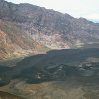
Cova is a crater that is part of an inactive volcano on the island of São Antão. A distinct feature of this high altitude micro environment is the flora that resides there. As opposed to the lush valleys below, the crater Cova boasts woody vegetation…
http://www.ricdigitalcommons.com/Baxter_temp/CV-83-026.jpg
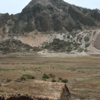
Cova is a crater that is part of an inactive volcano on the island of São Antão. A distinct feature of this high altitude micro environment is the flora that resides there. As opposed to the lush valleys below, the crater Cova boasts woody vegetation…

http://www.ricdigitalcommons.com/Baxter_temp/CV-88-137.jpg
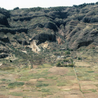
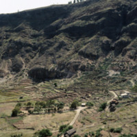
Scenes of Cova, a "caldeira" or sunken floor of a dormant volcano, in the highlands of S. Antão. A productive agricultural area.

http://www.ricdigitalcommons.com/Baxter_temp/CV-88-138.jpg
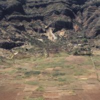
Scenes of Cova, a "caldeira" or sunken floor of a dormant volcano, in the highlands of S. Antão. A productive agricultural area.

http://www.ricdigitalcommons.com/Baxter_temp/CV-88-139.jpg
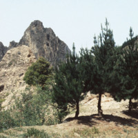
Scenes of Cova, a "caldeira" or sunken floor of a dormant volcano, in the highlands of S. Antão. A productive agricultural area.

http://www.ricdigitalcommons.com/Baxter_temp/CV-88-140.jpg
Scenes of Cova, a "caldeira" or sunken floor of a dormant volcano, in the highlands of S. Antão. A productive agricultural area.

http://www.ricdigitalcommons.com/Baxter_temp/CV-88-141.jpg
Scenes of Cova, a "caldeira" or sunken floor of a dormant volcano, in the highlands of S. Antão. A productive agricultural area.

http://www.ricdigitalcommons.com/Baxter_temp/CV-88-142.jpg
Scenes of Cova, a "caldeira" or sunken floor of a dormant volcano, in the highlands of S. Antão. A productive agricultural area.

http://www.ricdigitalcommons.com/Baxter_temp/CV-88-143.jpg
Scenes of Cova, a "caldeira" or sunken floor of a dormant volcano, in the highlands of S. Antão. A productive agricultural area.

http://www.ricdigitalcommons.com/Baxter_temp/CV-88-144.jpg
Scenes of Cova, a "caldeira" or sunken floor of a dormant volcano, in the highlands of S. Antão. A productive agricultural area.

http://www.ricdigitalcommons.com/Baxter_temp/CV-85-034.jpg
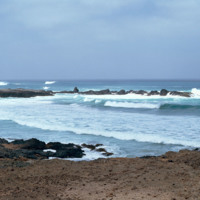
A view of a cove at Praia de Cabral, a beach located about two miles from Sal Rei. A natural rock wall creates a a small, natural cove.

http://www.ricdigitalcommons.com/temp/0729.jpg
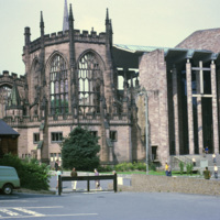
This 1968 photograph shows the recently completed modern Coventry Cathedral beside the ruins of the Medieval Parish Church Cathedral of St. Michael, commonly referred to as the Old Coventry Cathedral. The old cathedral was heavily damaged in 1940 by…

http://www.ricdigitalcommons.com/Baxter_temp/CV-85-054.jpg
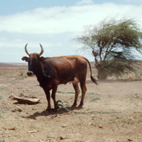
A cow, donkey and dog are seen on a farm where Baxter stopped on a journey across the arid interior of Boa Vista on the way to Praia Curralhino. Despite extreme drought conditions, there is a presence of goats, donkeys and the occasional bovine.…

http://www.ricdigitalcommons.com/temp/5242.jpg
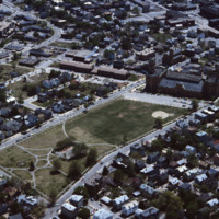
  In this aerial, the Cranston Street Armory can be seen. This building and land parcel was passed on to the city of Providence by Ebenezar Knight Dexter. This area is located off Cranston St. and between Dexter St. and Parade St. This brick and…

http://www.ricdigitalcommons.com/Baxter_temp/CV-81-294.jpg
From the top of Pico do Fogo, this photograph shows the crater and lava formations around this active volcano. Pico do Fogo, at 2,829 metres is the highest point in the Cape Verde archipelago.

http://www.ricdigitalcommons.com/temp/4805.jpg
The intersection of College St and Memorial Blvd in Downtown Providence in 1979. The image was taken to highlight the Crawford St Bridge which was built in 1873, rebuilt in 1930, and later listed as the world's widest bridge in the 1988 Guinness Book…

http://www.ricdigitalcommons.com/Baxter_temp/CV-89-077.jpg
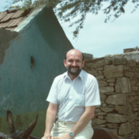
A photo of David Baxter on a donkey used for transportation. This photo is believed to be taken in Calheta, a small village just 3 km north of Vila do Maio.

http://www.ricdigitalcommons.com/Baxter_temp/CV-89-043.jpg
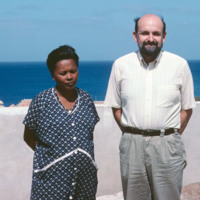
David Baxter and an unidentified woman pose for a photo in Vila do Maio. Because of the wall behind them, this photo may have been taken at an 18th century fort that is located on the edge of the village.

This photo has been cropped from it's…

http://www.ricdigitalcommons.com/Baxter_temp/CV-85-047.jpg
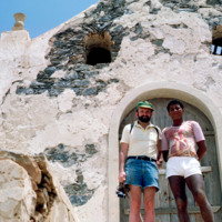
A photograph of David Baxter with an unidentified man [see Tombs in a 19th Century Cemetery] in front of the ruins of a small chapel. The chapel is located just inland from Praia de Cabral, a beach just a couple miles from Sal Rei.

http://www.ricdigitalcommons.com/Baxter_temp/CV-81-304.jpg
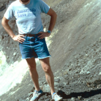
David Baxter photographed inside Pico do Fogo, a volcano on the island of Fogo.

http://www.ricdigitalcommons.com/temp/5033.jpg
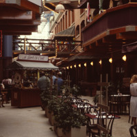
Home to the Davol Rubber Co. from 1884 until 1977, the Davol Square complex was rehabilitated and reopened for mixed retail and office use in 1982, with shops, offices, and restaurants. However, despite high occupancy and easy highway access, the…

http://www.ricdigitalcommons.com/temp/5034.jpg
Home to the Davol Rubber Co. from 1884 until 1977, the Davol Square complex was rehabilitated and reopened for mixed retail and office use in 1982, with shops, offices, and restaurants. However, despite high occupancy and easy highway access, the…

http://www.ricdigitalcommons.com/temp/5209.jpg
Home to the Davol Rubber Co. from 1884 until 1977, the complex were rehabilitated and reopened for mixed retail and office use in 1982. However, despite high occupancy and easy highway access, the shops slowly disappeared and the mall closed down in…

http://www.ricdigitalcommons.com/temp/5208.jpg
Home to the Davol Rubber Co. from 1884 until 1977, the complex were rehabilitated and reopened for mixed retail and office use in 1982. However, despite high occupancy and easy highway access, the shops slowly disappeared and the mall closed down in…

http://www.ricdigitalcommons.com/temp/5148.jpg
Home to the Davol Rubber Co. from 1884 until 1977, the complex were rehabilitated and reopened for mixed retail and office use in 1982. However, despite high occupancy and easy highway access, the shops slowly disappeared and the mall closed down in…

http://www.ricdigitalcommons.com/temp/1023.jpg
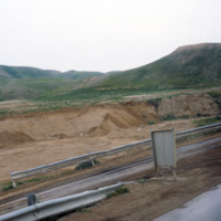
This photograph shows a marker en route to the dead sea which indicates ‘sea level.’ The Dead Sea is approximately 400 meters below sea level.

JM-IAIRI-19791021-70A.jpg
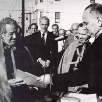
Monsignor Gaillano J. Cavallaro recieves the documents dedicating the lot at the intersection of Dean Street, Brayton Avenue, and Atwells Avenue in Providence, on which was erected the Monsignor Cavallaro statue. Also in the photograph from left to…

http://www.ricdigitalcommons.com/temp/1253.jpg
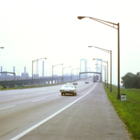
The Delaware Memorial Bridge was built in two spans. The first, completed in 1951, is on the left in this photograph, is now used to carry New Jersey bound traffic on Interstate Highway 295. Originally it carried traffic in both directions, but…

http://www.ricdigitalcommons.com/temp/0460.jpg
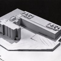
Washington D.C. began a plan to revitalize the city shortly after World War II. The rapid population growth following the war inspired a suburban sprawl into the surrounding areas of Maryland and Virginia. As buildings in downtown D.C. fell to…

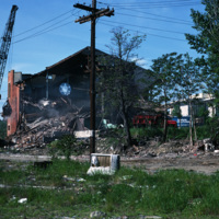
http://www.ricdigitalcommons.com/temp/5044.jpg
The Randall Square synagogue was demolished as part of a large land clearing in order to make room for light manufacturing, commercial development and the Marriott Hotel.

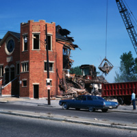
http://www.ricdigitalcommons.com/temp/5053.jpg
The Randall Square synagogue was demolished as part of a large land clearing in order to make room for light manufacturing, commercial development, and the Marriott Hotel.

JM-IAIRI-19XXXXX-35.jpg
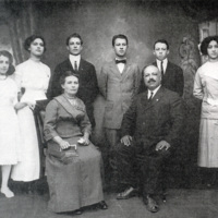
The great-grandfather and great-grandmother of Ambassador Joseph A. Paolino are featured in this photograph. Shown here from left to right are the following: (seated) Maria and Antonio DePasquale; (standing) Eva, Mary, Arthur, Luigi, Joseph and Gemma…

JM-IAIRI-19489328-38.jpg
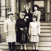
Shown in front of their residence at 232 Broadway on Easter Sunday 1948 are Judge Luigi DePasquale, Marie (Mitchard) DePasquale, and Eva (DePasquale) Zito. Standing in the back are Marie (Depasquale) Rucci (left) and Beatrice (Depasquale, Paolino)…

1214.jpg
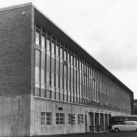
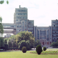
Chet Smolski describes this building as a science research building of the 1920s. This building is part of Karazin Kharkov National University. The park from which the photo was taken is called Svobody Square or Freedom Square. The building is a…

http://www.ricdigitalcommons.com/Baxter_temp/CV-88-041.jpg
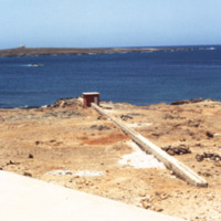
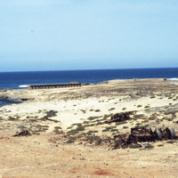
Area surrounding the intake mechanism for a newly constructed desalination plant on Boa Vista. The plant was built by the Danish government and has provided fresh drinking water to the community.

http://www.ricdigitalcommons.com/Baxter_temp/CV-88-042.jpg
At the time this photo was taken, this desalination plant had just been built along the coast of Boa Vista. The plant was built by the Danish government and has served its purpose of providing fresh drinking water to the community by process of…

http://www.ricdigitalcommons.com/Baxter_temp/CV-85-075.jpg
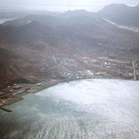
View of the Desalination Plant and surrounding areas on the outskirts of Mindelo, S

http://www.ricdigitalcommons.com/Baxter_temp/CV-88-045.jpg
This desalination plant utilizes reverse osmosis to convert ocean water into viable, drinking water for the community. Osmosis requires a semi permeable membrane separating two containers: one filled with pure water and the other with saline (salt)…

http://www.ricdigitalcommons.com/Baxter_temp/CV-81-334.jpg
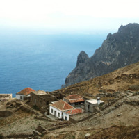
This photograph is taken near the end of a journey from Nova Sintra to Fajã d'Água via aluguer. On the horizon the Ilhéu da Areia can be seen disappearing into the haze. This photograph also gives you a good idea of how jagged and dramatic the…

http://www.ricdigitalcommons.com/Baxter_temp/CV-88-145.jpg
For the adventurous visitor, one can descend from Cova via the Ribeira de Paúl to Paúl. This is a breathtaking journey requiring about 3-4 hours, depending upon how well one's calf muscles hold out, and how many mini-stops for "grogue" one makes. The…

http://www.ricdigitalcommons.com/Baxter_temp/CV-88-146.jpg
For the adventurous visitor, one can descend from Cova via the Ribeira de Paúl to Paúl. This is a breathtaking journey requiring about 3-4 hours, depending upon how well one's calf muscles hold out, and how many mini-stops for "grogue" one makes. The…

http://www.ricdigitalcommons.com/Baxter_temp/CV-88-147.jpg
For the adventurous visitor, one can descend from Cova via the Ribeira de Paúl to Paúl. This is a breathtaking journey requiring about 3-4 hours, depending upon how well one's calf muscles hold out, and how many mini-stops for "grogue" one makes. The…

http://www.ricdigitalcommons.com/Baxter_temp/CV-88-148.jpg
For the adventurous visitor, one can descend from Cova via the Ribeira de Paúl to Paúl. This is a breathtaking journey requiring about 3-4 hours, depending upon how well one's calf muscles hold out, and how many mini-stops for "grogue" one makes. The…

http://www.ricdigitalcommons.com/Baxter_temp/CV-88-149.jpg
For the adventurous visitor, one can descend from Cova via the Ribeira de Paúl to Paúl. This is a breathtaking journey requiring about 3-4 hours, depending upon how well one's calf muscles hold out, and how many mini-stops for "grogue" one makes. The…

http://www.ricdigitalcommons.com/Baxter_temp/CV-88-150.jpg
For the adventurous visitor, one can descend from Cova via the Ribeira de Paúl to Paúl. This is a breathtaking journey requiring about 3-4 hours, depending upon how well one's calf muscles hold out, and how many mini-stops for "grogue" one makes. The…

http://www.ricdigitalcommons.com/Baxter_temp/CV-88-151.jpg
For the adventurous visitor, one can descend from Cova via the Ribeira de Paúl to Paúl. This is a breathtaking journey requiring about 3-4 hours, depending upon how well one's calf muscles hold out, and how many mini-stops for "grogue" one makes. The…
Output Formats

atom, dcmes-xml, json, omeka-xml, rss2