Browse Items (1954 total)

http://www.ricdigitalcommons.com/temp/5498.jpg
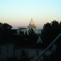
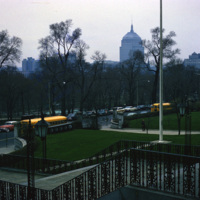
The Rhode Island State House seen from the Providence’s east side, likely Congdon St. It was constructed between 1895 and 1904 and has the fourth largest self supporting marble dome in the world. 

http://www.ricdigitalcommons.com/temp/5499.jpg
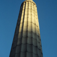
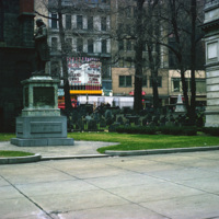
  The World War I Monument designed and created by architect Paul P. Cret and sculptors C.P. Jennewein and Janet de Coux stands before the Providence County Courthouse on Benefit St. The monument, originally located in Post Office Square (renamed…

http://www.ricdigitalcommons.com/temp/5510.jpg
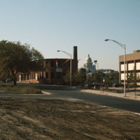
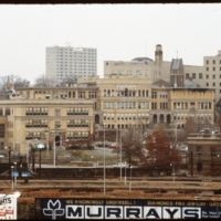
The intersection of North Main and Hewes Street was the location of the Moshassuck Arcade. The building was part of the Bay State Mill, which was part of a complex including the American Screw Company. Many of the surrounding buildings in the complex…

http://www.ricdigitalcommons.com/temp/5511.jpg
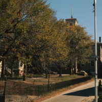
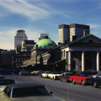
  The Old State House on College Hill in Providence, Rhode Island, also known as Providence Sixth District Court House, Providence Colony House, Providence County House, or Rhode Island State House is located on 150 Benefit Street. It is a brick…

http://www.ricdigitalcommons.com/temp/5521.jpg
Rhode Island College, originally referred to as the Normal School, has occupied several locations and changed names throughout the years. Rhode Island College is known as one of the first teacher preparatory schools in the country. Having out-grown…

http://www.ricdigitalcommons.com/temp/5539.jpg
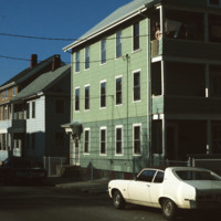
  Triple decker housing in the densely populated area of Central Falls, Rhode Island.  (date of photograph is approximated)

http://www.ricdigitalcommons.com/temp/5562.jpg
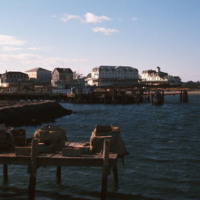
  Looking across the ferry landing on Block Island.  On the horizon is the National Hotel (1903) and to the right of the is oldest surviving hotel, the Surf (1873, 1888). This group of buildings conveys the sense of a nineteenth-century seaside…

http://www.ricdigitalcommons.com/temp/5563.jpg
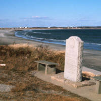
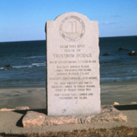
This marker placed by the Block Island Historical Society in 1942 commemorates the spot where Trustrum Dodge lived. Dodge was one of the original settlers of Block Island.  Inscribed on the marker are notable dates in Block Island’s history: 1614…

http://www.ricdigitalcommons.com/temp/5564.jpg
  The Block Island City Drug Store is located in the Old Harbor District of the island. The majority of the buildings and hotels in this district are painted white with cottage style details, reflecting the seaside resort style prominent in the…

http://www.ricdigitalcommons.com/temp/5567.jpg
  The City Drug Store is one of the late nineteenth century buildings located in the Old Harbor District. Development, which was rare in the first half of the twentieth century on the island, is taking place around the square in this photo from the…

http://www.ricdigitalcommons.com/temp/5414.jpg
  An example of housing in Litchfield, CT.  Litchfield is a historically affluent town with a median income of $58k per household. It is interesting to note that Chet Smolski includes this photograph within a collection largely composed of public and…

http://www.ricdigitalcommons.com/temp/5423.jpg
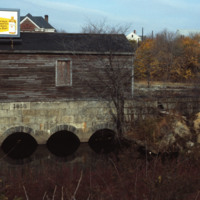
  This structure is the gate house for the Valley Falls mill complex.  It was part of a damn that redirected water into a trench that powered the mill. In the 1970s the Central Falls half of the complex was redeveloped as elderly housing, while the…

http://www.ricdigitalcommons.com/temp/5430.jpg
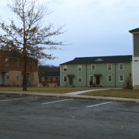
The Veterans Memorial Public Housing was built in 1953. The development is funded by the Woonsocket Housing Authority and the State of Rhode Island. The units, which are designed for elderly residents, consist of two bedrooms, one bath, a kitchen and…

http://www.ricdigitalcommons.com/temp/5497.jpg
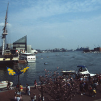
  The Baltimore Aquarium, located in the Inner Harbor district of Baltimore, was designed by Massachusetts based firm Peter Chermayeff LLC. The design earned the team an award from Progressive Architecture in 1979. It was conceived and designed in…

http://www.ricdigitalcommons.com/temp/5570.jpg
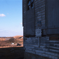
  This marker placed by the Block Island Historical Society in 1942 commemorates the spot where Trustrum Dodge lived. Dodge was one of the original settlers of Block Island.  Inscribed on the marker are notable dates in Block Island’s history: 1614…

http://www.ricdigitalcommons.com/temp/5571.jpg
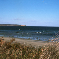
  Block Island beach and shoreline seen from Crescent  Beach near the Block Island Ferry Service landing. On the horizon are the Clayhead cliffs, a rocky area that contains iron-rich clay deposits. (date of photograph has been approximated)

http://www.ricdigitalcommons.com/temp/5572.jpg
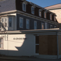
  New Shoreham is the town located on Block Island. New Shoreham was named for Shoreham, Kent, in England. The town has a total area of 109.5 square miles of which, 9.7 square miles of it is land and 99.8 square miles is water. The New Shoreham House…

http://www.ricdigitalcommons.com/temp/5573.jpg
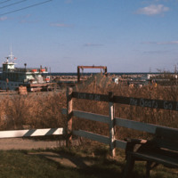
  The dock in the Old Harbor District of Block Island is the arrival port for the ferries that carry visitors and supplies to the Island, which is located just twelve miles off the southern coast of Rhode Island. Block Island saw a surge in…

http://www.ricdigitalcommons.com/temp/5574.jpg
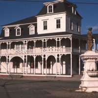
  The Block Island City Drug Store is located in the Old Harbor District of the island. The majority of the buildings and hotels in this district are painted white with cottage style details, reflecting the seaside resort style prominent in the…

http://www.ricdigitalcommons.com/temp/5577.jpg
  An abandoned home for sale on Block Island.  The only town on Block Island is New Shoreham, which at the 2000 census had a population of 1,010 people.  Of those, about 7.9% live below the poverty line.  (date of photograph has been approximated)

http://www.ricdigitalcommons.com/temp/5579.jpg
  Block Island State Airport (BID) opened in 1950. It maintains scheduled service to Westerly State Airport, but is primarily used for general aviation. It is mostly used for single engine crafts, providing an alternative to the ferry as a connection…

http://www.ricdigitalcommons.com/temp/5543.jpg
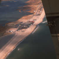
  An aerial view of Misquamicut Beach in Westerly. Atlantic Avenue runs parallel to the shore line, which is lined with attractions. Hurricanes in 1938 and in the 1950’s permanently altered the landscape and destroyed much of the establishments.…

http://www.ricdigitalcommons.com/temp/0402.jpg
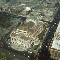
  The Palacio de Bellas Artes, the Palace of Fine Arts, in Mexico city was constructed in the early 1900s. President Porfirio Diaz wanted the building to commemorate Mexico’s independence from Spain. When a revolution broke out in 1910, construction…

http://www.ricdigitalcommons.com/temp/0404.jpg
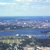
  Portland, Maine is located in the south coast region of the state. Portland is home to almost one quarter of Maine’s residents, and is known as the “metropolitan hub” of this region. 

http://www.ricdigitalcommons.com/temp/0406.jpg
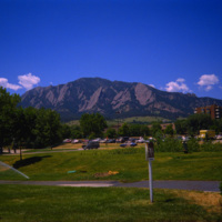
  The University of Colorado at Boulder has the Flatiron Mountains as a backdrop. This mountain range, consisting of five flatiron rock formations, is iconic for the city of Boulder and the university. Both the suburban campus and the state of…

http://www.ricdigitalcommons.com/temp/0407.jpg
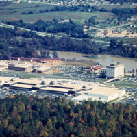
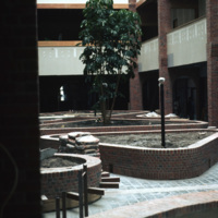
  The Mall in Columbia is part of a planned community development in Columbia, Maryland. The community consists of ten self-contained villages which were established in the late 1960s by The Rouse Company, a development firm headed by James Rouse.…

http://www.ricdigitalcommons.com/temp/0408.jpg
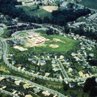
  Faulkner Ridge is one of the neighborhoods in the Wilde Lake village of Columbia, Maryland. The planned community of Columbia was designed by The Rouse Company in the late 1960s. The community consists of ten self-contained villages which are…

http://www.ricdigitalcommons.com/temp/0409.jpg
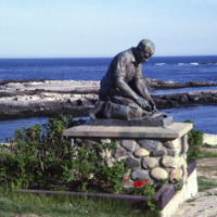
  The Fisherman’s Memorial Statue at Land’s End on Bailey Island in Maine. The statue bears the inscription,  "to all Maine Fisherman who have devoted their lives to the sea” in honor of the state’s lobster fisherman. The statue is a replica of the…

http://www.ricdigitalcommons.com/temp/0411.jpg
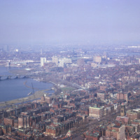
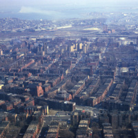
  Smolski captures an aerial view of Boston along the Charles River in 1966. 

http://www.ricdigitalcommons.com/temp/0412.jpg
  The Massachusetts Housing Finance Agency was a quasi-public housing agency in the Boston area. Now operating under the name MassHousing, the company is an independent, not-for-profit real estate and development agency specializing in low-income…

http://www.ricdigitalcommons.com/temp/0413.jpg
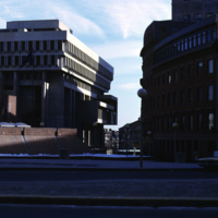
  Boston City Hall is the centerpiece of Government Center which consists of both commercial and civic buildings. Construction began on the site in 1963 and was completed in 1969. Kallman, McKinnell and Knowles designed the building. The architects…

http://www.ricdigitalcommons.com/temp/0418.jpg
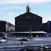
  The Samuel Adams Statue and Faneuil Hall in Boston, Massachusetts. The historic building was originally a market built in 1742 by Peter Faneuil. Town hall meetings were held at Faneuil Hall between 1764 and 1774.  It was during the town hall…

http://www.ricdigitalcommons.com/temp/0419.jpg
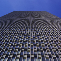
  Seen here in a vertical photograph is the facade of the Prudential building in Boston, Massachusetts. The tower consists of 52 floors of office space built in 1964. The Prudential tower is part of a complex referred to as the Prudential Center…

http://www.ricdigitalcommons.com/temp/0420.jpg
  King’s Chapel is an Anglican congregation that was organized in 1686. King’s Chapel was a small wooden chapel located on the corner of Tremont and School streets in Boston. Construction of King’s Chapel “Stone Chapel” began in 1749 and was…

http://www.ricdigitalcommons.com/temp/0421.jpg
  As the tallest building in Boston, the John Hancock Tower is one of the most recognizable pieces of architecture in the skyline. The tower is located in Copley Place where its stands alone, away from the downtown high-rises. The tower was built by…

http://www.ricdigitalcommons.com/temp/0422.jpg
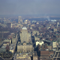
  An Aerial view of Boston from the Skywalk Observatory, located on the 60th floor of the Prudential Tower. 

http://www.ricdigitalcommons.com/temp/0429.jpg
  Faneuil Hall and Quincy Market, historic Boston landmarks, fell into disrepair in the mid 1900s. The buildings were tagged for demolition until concerned residents banded together to save them in the early 1970s. The historic buildings have since…

http://www.ricdigitalcommons.com/temp/0430.jpg
  An aerial view of the historic Faneuil Hall marketplace, Quincy Market, and surrounding buildings. (date of photograph has been approximated)

http://www.ricdigitalcommons.com/temp/0432.jpg
  An aerial of Boston taken from the Prudential Skywalk Observatory at the top of the Prudential Tower.

http://www.ricdigitalcommons.com/temp/0433.jpg
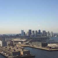
  Boston’s downtown skyline and harbor are picture here in 1979. Boston harbor has been a hub for the shipping industry for centuries, beginning in the late 1600s with the boom of ship building in the colonies. 

http://www.ricdigitalcommons.com/temp/0434.jpg
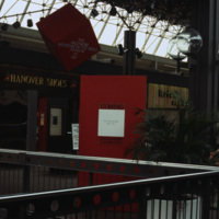
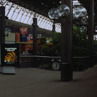
An interior photograph of the Columbia Mall in Columbia Maryland displays the glass ceiling that creates an atrium effect for shoppers. The globe-shaped lanterns are repeated on the mall’s exterior walks.  The Mall in Columbia is part of a planned…

http://www.ricdigitalcommons.com/temp/0435.jpg
  An interior photograph of the Columbia Mall in Columbia Maryland displays the glass ceiling that creates an atrium effect for shoppers. The globe-shaped lanterns are repeated on the mall’s exterior walks.  The Mall in Columbia is part of a planned…

http://www.ricdigitalcommons.com/temp/0436.jpg
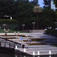
  The Tree of Life sculpture, commonly referred to as the “People Tree”, is the symbol of Columbia Maryland. The community consists of ten self-contained villages which were established in the late 1960s by The Rouse Company, a development firm…

http://www.ricdigitalcommons.com/temp/0437.jpg
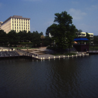
  The Tree of Life sculpture, commonly referred to as the “People Tree”, is the symbol of Columbia, Maryland. The People Tree is located next to The Rouse Company headquarters (the large building in the background) along the bank of Lake…

http://www.ricdigitalcommons.com/temp/0438.jpg
  The Rouse Company, a development firm headed by James Rouse, is responsible for the creation of Columbia, Maryland. The community consists of ten self-contained villages which were established in the late 1960s.  (date of photograph has been…

http://www.ricdigitalcommons.com/temp/0450.jpg
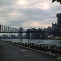
  Roosevelt Island is located between Manhattan and Queens in the East River. The Queensboro Bridge crosses over the island, pictured at the left of the photo. Roosevelt Island has had many names over the years and once served as grounds for a state…

http://www.ricdigitalcommons.com/temp/0452.jpg
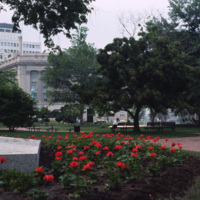
Lafayette Park, or Lafayette Square, is a seven acre public park located in Washington D.C. Lafayette Park is directly across from the White House on Pennsylvania Avenue. Originally part of the White House grounds, Pennsylvania Avenue bisected what…

http://www.ricdigitalcommons.com/temp/0456.jpg
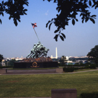
The Marine Corps War Memorial stands as a symbol of this grateful Nation's esteem for the honored dead of the U.S. Marine Corps. While the statue depicts one of the most famous incidents of World War II, the memorial is dedicated to all Marines who…

http://www.ricdigitalcommons.com/temp/0457.jpg
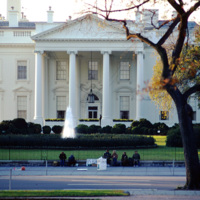
Quakers sit in protest of the Vietnam War outside of the north portico of the White House. Although the Quakers had a long history of promoting peace, it was not until Clarence Pickett of the American Society of Friends founded the National Committee…

http://www.ricdigitalcommons.com/temp/0458.jpg
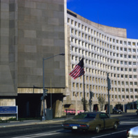
The U.S. Department of Housing and Urban Development headquarters located in Washington, D.C. The Department of Housing and Urban Development Act of 1965 created the Housing and Urban Development agency, or HUD under President Lyndon Johnson. The HUD…
Output Formats

atom, dcmes-xml, json, omeka-xml, rss2