Browse Items (1954 total)

http://www.ricdigitalcommons.com/temp/1237.jpg
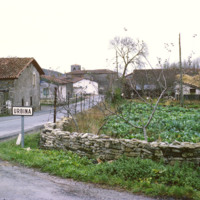
This photograph shows the village of Urbina. The road is A-4016, which runs through the center of the small village. It is about 20 miles south of Bilbao, capital of the province of Biscany.

http://www.ricdigitalcommons.com/temp/1238.jpg
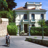
The Moyenne Corniche connects Mento to Nice and runs through the Côte d’Azur (English: French Riviera) and is named such because it is the middle cliff road between a higher and lower road. The French Riviera has long been the vacation land and…

http://www.ricdigitalcommons.com/temp/1239.jpg
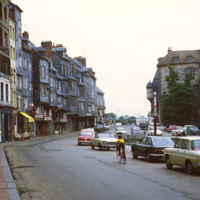
The row houses on the harbor of Honfluer are known for being picturesque and has attracted many artist who have painted this scene, photographed here in 1979. The city today is home to many historic buildings and picturesque views.

http://www.ricdigitalcommons.com/temp/1240.jpg
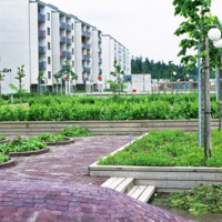
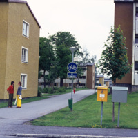
This photograph shows apartment buildings and urban gardens in Skärholmmen, a suburb in southern Stockholm. The apartments were mostly built in the late 1960s and early 1970s as part of the Million Program, a program that attempted to create one…

http://www.ricdigitalcommons.com/temp/1243.jpg
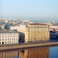
The large building at the right was, at the time of this photograph, the Hotel Bucharest. The original structure, dating to 1898, was designed by local architect Alexander Ivanov. During the 20th century the building changed ownership numerous times…

http://www.ricdigitalcommons.com/temp/1244.jpg
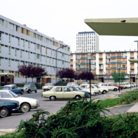
This 1973 photograph shows an habitation à loyer modéré (HLMs, English: ”housing at moderated rents”), which is similar to housing projects in the United States built around the same time. The HLM pictured is in Sarcelles, a French commune…

http://www.ricdigitalcommons.com/temp/1245.jpg
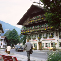
Oberammergau is a village in the Bavarian region of Germany. It is famous for it’s Passion Play, and it’s local frescos and woodcarving. This photograph shows a street scene photographed in 1969. The building shown is the Hotel Wolf, a hotel that…

http://www.ricdigitalcommons.com/temp/1246.jpg
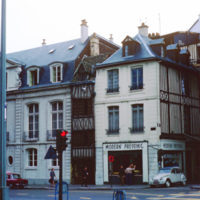
This photograph shows the density and variety of housing in Rouen, a famous and historic city in France. In the medieval period it was one of the largest cities. Today it is is the capital of the Haute-Normadie region and home to many historic sites…

http://www.ricdigitalcommons.com/temp/1247.jpg
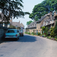
Snowshill, pronounced “Snozill”, is a village located on “the edge” of the Cotswolds, a range of hills in England (This England, 148). The area is designated an Area of Natural Beauty (AONB), which is considered to be equivalent to the status of a…

http://www.ricdigitalcommons.com/temp/1248.jpg
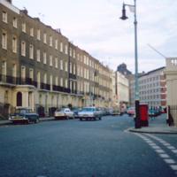
Eaton Square is actually a long narrow square west of Buckingham Palace in Belgravia, a district of Central London. Most of Belgravia was developed, under the supervision of Thomas Cubitt, when George IV commissioned the rebuilding of Buckingham…

http://www.ricdigitalcommons.com/temp/1249.jpg
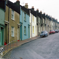
This photograph shows houses near Albion Hill in Brighton. The houses were originally made in the early 19th century of substandard material which quickly deteriorated into slums. In the 1930s redevelopment of the area began.

http://www.ricdigitalcommons.com/temp/1250.jpg
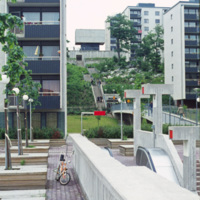
Million Programme style housing in Skärholmen, a suburban district of south-west Stockholm, was built in Sweden during the 1960s as part of a nation wide effort to create one million new homes in a decade. While the project did achieve the goal of…

http://www.ricdigitalcommons.com/temp/1251.jpg
While the Million Programme, a nation wide effort in the 1960s to create one million new homes in Sweden, has been criticized as creating concrete high-rises that are a blemish on the city’s skyline, many of the home were also small three floored…

http://www.ricdigitalcommons.com/temp/1252.jpg
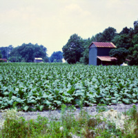
Following the Civil War, Tobacco was one of the first industries to flourish in North Carolina, owing mainly to the development of the cigarette. Since the end of the twentieth century, when the dangers of cigarette smoke entered the mainstream…

http://www.ricdigitalcommons.com/temp/1253.jpg
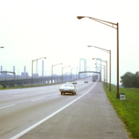
The Delaware Memorial Bridge was built in two spans. The first, completed in 1951, is on the left in this photograph, is now used to carry New Jersey bound traffic on Interstate Highway 295. Originally it carried traffic in both directions, but…

http://www.ricdigitalcommons.com/temp/1255.jpg
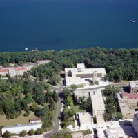
The University of Wisconsin was founded the same year as the incorporation of Wisconsin as a state in 1848. It is located on Lake Mendota and the body of water seen in this photograph is known as University Bay. The carillon tower, seen in this…

http://www.ricdigitalcommons.com/temp/1256.jpg
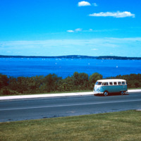
Lake Mendota is one of the two lakes that creates the isthmus which is home to Madison Wisconsin. This photo, from the summer of 1964, shows a Volkswagen Microbus parked by the shore of the lake, which is a popular destination for water sports and…

http://www.ricdigitalcommons.com/temp/1257.jpg
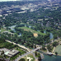
The Yahara River is a tributary of the Rock River that connects all of the lakes around which Madison was built. This photograph shows a section of the stream that passes Tenney Park, a public park named for the local lawyer, Daniel K. Tenney, who…

http://www.ricdigitalcommons.com/temp/1258.jpg
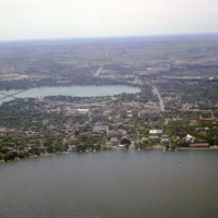
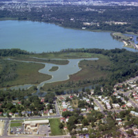
Lake Wingra and Lake Monona are two of the lakes the Yahara River passes through on it’s way to the Rock River. This aerial photograph shows the lakes and surrounding city of Wisconsin.

http://www.ricdigitalcommons.com/temp/1259.jpg
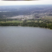
This aerial photograph looks south across Madison Wisconsin from above Lake Mendota. The high rise, modernist structures at the left of the image facilitate the Motor Vehicles Division, while the smoke stack and cluster of buildings to the right are…

http://www.ricdigitalcommons.com/temp/1260.jpg
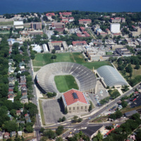
Camp Randall Field was a former Union Army training ground that was donated to the University of Wisconsin in 1893. It was quickly put to use as an athletic field. After numerous problems with the original wooden bleachers, culminating in a collapse…

http://www.ricdigitalcommons.com/temp/1262.jpg
Vilas Park and Henry Vilas Zoo is located on land donated in 1903 by William and Anna Vilas. It was one of the only accredited zoo’s to offer free admission, as stipulated by the Vilas when they donated the land 100 years ago.

http://www.ricdigitalcommons.com/temp/1263.jpg
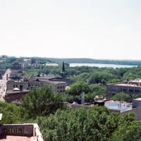
This photograph looks west down State St. in Madison Wisconsin. This photograph shows State St. before, in 1974, it was converted into a pedestrian mall. The street maintains two lane limited access, but is mostly known for it’s small town charm, and…

http://www.ricdigitalcommons.com/temp/1264.jpg
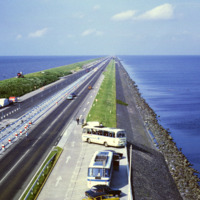
This photo shows the Afsluitdijk (Engish: Enclosure Dam), a 32 kilometer causeway in the Netherlands. The creation of the Enclosure Dam, completed in 1933, seperated Zuiderzee, a shallow bay, from the North Sea. The result was the creation of…

http://www.ricdigitalcommons.com/temp/1265.jpg
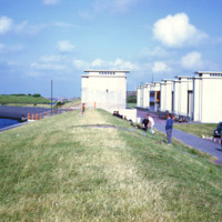
This photograph shows the sluice gates on the Afsluitdijk, a causeway that created the artificial freshwater lake IJsselmeer. The causeway was completed in 1933 and tamed what was once a problematic harbor in regards to flooding and damage to ships.…

http://www.ricdigitalcommons.com/temp/1266.jpg
The Port of Amsterdam, the second largest port in the Netherlands, is located on the banks of the North Sea Canal. Activity in the port dates to the 13th century. This photograph taken from the North Sea Canal shows the Port of Amsterdam in 1969.

http://www.ricdigitalcommons.com/temp/1267.jpg
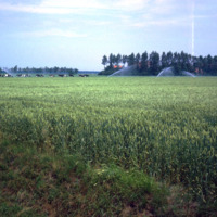
Northeast Polder, a municipality in the Netherlands, is largely made of reclaimed land from Zuiderzee Works, which turned Zuiderzee into a freshwater lake, IJsselmeer, and lowered the water levels allowing for land to be reclaimed. This photograph…

http://www.ricdigitalcommons.com/temp/1269.jpg
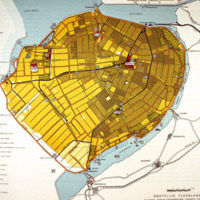
This map of Eastern Flevoland is from the 1960s and may be used in reference to images from the Smolski collection photographed in 1960. See Smolski Images: Irrigation of wheat Northeast Polder Netherlands; Netherlands: Sluice Gates on Enclosure Dam…

http://www.ricdigitalcommons.com/temp/1270.jpg
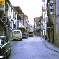
El Escorial is named for deposits found in the area from an old foundry. This photograph shows the narrow steers and stone buildings that are typical of the area. El Escorial is a municipality in the Autonomous Community of Madrid.

http://www.ricdigitalcommons.com/temp/1271.jpg
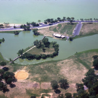
This aerial photograph shows Vilas Park, located on Lake Wingra in Madison; The land for the park was donated by the family of Henry Vilas, who was a senator in the late 19th century.

http://www.ricdigitalcommons.com/temp/1273.jpg
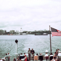
Photographed from Milkwakee Bay, this photograph shows the Milwaukee skyline as it was in 1962. Conspicuously absent are the sky scrapers that now dominate the skyline, which would be built in the following decades.

http://www.ricdigitalcommons.com/temp/1274.jpg
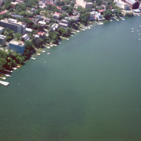
Some of the student housing, including sorority and fraternity houses, for the University of Wisconsin are located on the shore of Lake Mendota. This aerial photograph shows the shoreline in 1964.

http://www.ricdigitalcommons.com/temp/1274.jpg
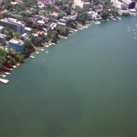
Some of the student housing, including sorority and fraternity houses, for the University of Wisconsin are located on the shore of Lake Mendota. This aerial photograph shows the shoreline in 1964.

http://www.ricdigitalcommons.com/temp/1275.jpg
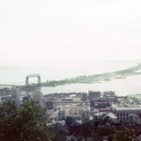
Skyline Parkway offers a bird’s eye view of the port city of Duluth. In this photograph, made in 1964, Duluth’s Aerial Life Bridge is visible, a landmark of the city. The construction of the Duluth Ship Canal in the late 19th century made it…

http://www.ricdigitalcommons.com/temp/1276.jpg
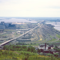
Rail yard at Rices Point, on the shore of Lake Superior. The yard was owned by Northwestern Pacific Railroad (NP) at the time of this photograph (1964). The Blatnik Bridge, an automobile bridge, was completed in 1961 and carried auto traffic between…

http://www.ricdigitalcommons.com/temp/1278.jpg
An overcast view of Minnesota taken from Minnesota Point, looking north. Minnesota Point, at seven miles long, creates Superior Bay which is a hub of commerce for both Duluth, Minnesota and Superior, Wisconsin.

http://www.ricdigitalcommons.com/temp/1279.jpg
View of Superior Bay and Duluth likely taken at Enger Park or Enger Tower. Enger Tower is observation tower in Duluth that is made of blue stone and was dedicated in 1939 by Crown Prince Olav and Crown Princess Martha of Norway. Superior Bay is a…

http://www.ricdigitalcommons.com/temp/1281.jpg
The St. Louis River flows into Lake Superior. Duluth, which is located on the banks of the river and Lake Superior, experienced tremendous industrial growth during the 19th and twentieth centuries which created large amounts of pollution in the…

http://www.ricdigitalcommons.com/temp/1282.jpg
Apponaug is the center, or downtown, of Warwick, the second largest city in Rhode Island. Centered in this photograph is the City Hall, completed as the town hall in 1894, the city spent $75,000 to complete what is one of the most significant 19th…

http://www.ricdigitalcommons.com/temp/1284.jpg
Although now considered a dead mall, the construction of the Midland Mall (renamed the Rhode island Mall in 1985), completed in 1968, was a milestone in the states economic history as it initiated the shift of retail trade from Providence into the…

http://www.ricdigitalcommons.com/temp/1285.jpg
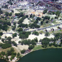
Public housing for the elderly in the Triangle neighborhood of Madison, WI. The neighborhood, once an Italian neighborhood known as Greenbush but was cleared for urban renewal in the 1960s.
http://www.ricdigitalcommons.com/temp/1286.jpg
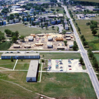
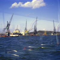
Aerial photograph of public housing under construction at Truax Barracks in Madison.

http://www.ricdigitalcommons.com/temp/1287.jpg
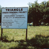
The Triangle neighborhood in Madison was developed in the 1960s. It was once a primarily Italian neighborhood known as Greenbush. This photograph shows a sign explaining the funding and areas affected by the project.

http://www.ricdigitalcommons.com/temp/1288.jpg
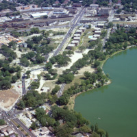
Aerial photograph of the Madison Triangle and Brittingham Park. The Triangle was once known as Greenbush, a primarily Italian neighborhood before it was redeveloped in the 1960s for public housing.

http://www.ricdigitalcommons.com/temp/1289.jpg
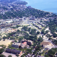
An aerial view of Madison’s Triangle nbeighborhood, a public housing development that was built over what was once called Greenbush, an Italian community.

http://www.ricdigitalcommons.com/temp/1290.jpg
An aerial view of Madison, including the Triangle redevelopment project. On the horizon the state capitol is visible.

http://www.ricdigitalcommons.com/temp/1291.jpg
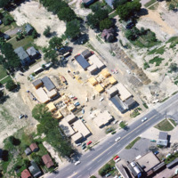
Aerial view of Madison Triangle shows a detail of construction of public housing in the 1960s. Previously the neighborhood had been known as Greenbush, and Italian neighborhood.

http://www.ricdigitalcommons.com/temp/1292.jpg
Allentown saw significant economic growth in the 19th century due to the industrial revolution. it was an exporter of iron which was exported through the Lehigh Valley Railroad. This photo, likely taken around 1975, shows a rail yard, and some…

http://www.ricdigitalcommons.com/temp/1293.jpg
An aerial view of Allentown’s Fourth Street Urban Renewal Project. The project was part of a nationwide urban renewal trend in the 1960s and was designed to provide affordable housing to the residents of Allentown.
http://www.ricdigitalcommons.com/temp/1295.jpg
This photograph shows a vacant lot scheduled to be developed as part of Allentown’s Fourth Street Urban Renewal Project. The project aimed to create affordable housing for Allentown residents.
Output Formats

atom, dcmes-xml, json, omeka-xml, rss2