Browse Items (1954 total)

http://www.ricdigitalcommons.com/Baxter_temp/CV-81-033.jpg
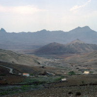
The view from Monte Verde shows the barren landscape of São Vicente. The island, which has few natural resources, is sparsely populated outside of Mindelo, one of the largest Cape Verde cities and the cultural capital of the country. Over ninety-two…

http://www.ricdigitalcommons.com/Baxter_temp/CV-81-011.jpg
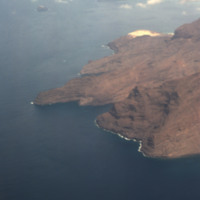
The rocky and barren shoreline of São Vicente seen from an airplane. Outside of Mindelo, one of Cape Verde's largest cities, much of the island is sparsely populated.

http://www.ricdigitalcommons.com/Baxter_temp/CV-81-010.jpg
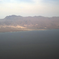
An aerial view of the shoreline on São Vicente. This island is, as you can see, very barren and rocky, and lacks a steady supply of fresh water. Outside of Mindelo, which is a large city centered around Porto Grande, the island is sparsely populated.

http://www.ricdigitalcommons.com/Baxter_temp/CV-81-205.jpg
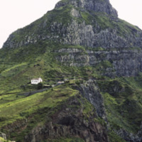
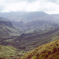
A bird's eye view of the São Nicolau highlands above Ribera Brava.

http://www.ricdigitalcommons.com/Baxter_temp/CV-81-204.jpg
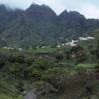
Pictured are the São Nicolau highlands above the Riberia / Panja region. Small communities can be seen settled in the distance.

http://www.ricdigitalcommons.com/Baxter_temp/CV-80-202.jpg
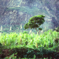
São Nicolau's fertile hinterland allows it to produce more than the neighboring islands agriculturally.

http://www.ricdigitalcommons.com/Baxter_temp/CV-81-222.jpg
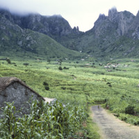
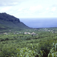
A village near Ribeira Brava in the São Nicolau highlands. Ribeira Brava is located in the hinterland of São Nicolau which is a very fertile region for the Cape Verdean islands, which are largely composed of volcanic rock. This photograph shows the…

http://www.ricdigitalcommons.com/Baxter_temp/CV-81-212.jpg
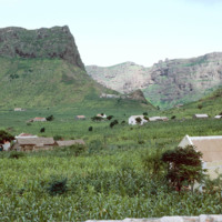
The highlands of São Nicolau, home to Ribeira Brava, are among the most beautiful and agriculturally friendly of the Cape Verdean islands. Here, some scattered dwellings near Ribeira Brava and Panja.

http://www.ricdigitalcommons.com/Baxter_temp/CV-81-211.jpg
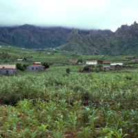
A wide landscape view of Ribeira Brava in the hinterland of São Nicolaiu. This are of São Nicolau is particularly fertile, especially for an island in an archipelago made of volcanic rock. Scattered throughout the green valley is the town of Ribeira…

http://www.ricdigitalcommons.com/temp/0495.jpg
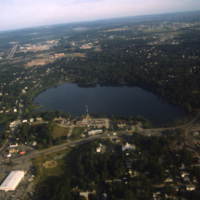
An aerial view over Santo Domingo, in the Dominican Republic.

http://www.ricdigitalcommons.com/Baxter_temp/CV-81-109.jpg
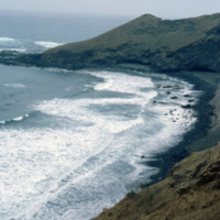
Looking east on a coastal road that connects the small town of Paúl to Ribeira Grande. This area of the island is known for it's rough surf and high winds.

http://www.ricdigitalcommons.com/Baxter_temp/CV-88-021.jpg
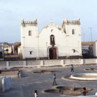
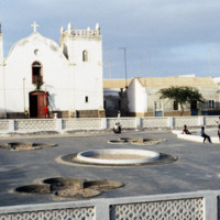
Located in the Central Praça of Sal Rei is the Santa Isabel Church. Since this photo was taken in 1988 the church and the area in front of it have been remodeled. The church now features a sand colored facade with bright blue accents and the square…

http://www.ricdigitalcommons.com/Baxter_temp/CV-88-020.jpg
Located in the Central Praça of Sal Rei is the Santa Isabel Church. Since this photo was taken in 1988 the church and the area in front of it have been remodeled. The church now features a sand colored facade with bright blue accents and the square…

http://www.ricdigitalcommons.com/Baxter_temp/CV-83-044.jpg
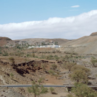
Pictured in the distance is the Teacher Training College in Santa Catarina, Santiago. The system provides its teachers with the training necessary to be successful educators. Individuals planning to be primary school teachers are given 2 years of…

http://www.ricdigitalcommons.com/Baxter_temp/CV-85-003.jpg
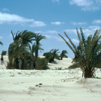
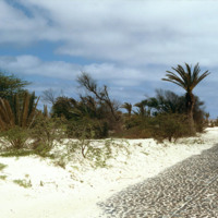
Pictured are sand dunes near the airport at Rabil. It is thought that the sand dunes of the island were an alluring site for seafarers since it may have been their first sight of land in as long as a couple of months.

http://www.ricdigitalcommons.com/Baxter_temp/CV-85-002.jpg
Pictured are sand dunes near the airport at Rabil. It is thought that the sand dunes of the island were an alluring site for seafarers since it may have been their first sight of land in as long as a couple of months.

http://www.ricdigitalcommons.com/temp/0818.jpg
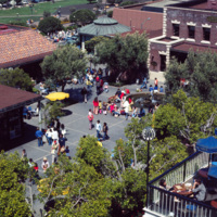
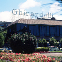
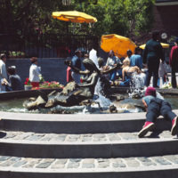
This aerial view of Ghiradelli Square shows Ruth Asawa’s Mermaid Fountain and the former Ghiradelli Chocolate Company buildings readapted for retail use. Since 1982, Ghiradelli Square has been on the National Register of Historic Places. It was…

http://www.ricdigitalcommons.com/temp/0817.jpg
Ghiradelli Square, located in the Fisherman’s Warf area of San Fransisco, was once home to over 40 speciality shops and restaurants. After the square was put up for sale by the Ghiradelli Company, San Fransiscan natives William Roth and his mother…

http://www.ricdigitalcommons.com/temp/0816.jpg
Ghiradelli Square was originally the headquarters for the Ghiradelli Choolate Company, which purchased the entire city block in 1893. In the 1960s the square went up for sale and the purchasers readapted it to house a restaurant and shops making it…

http://www.ricdigitalcommons.com/temp/0815.jpg
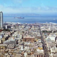
This San Francisco cityscape contains many of its well-known landmarks, including Alcatraz Island on the horizon and Sts. Peter and Paul Church at the left. Sts. Peter and Paul Church was built in 1924. Alcatraz Island was developed as a…

JM-IAIRI-197XXXXX-27.jpg
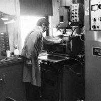
Highly sophisticated machinery being used by one of the many skilled tool makers employed by Salvatore Tool and Findings.

http://www.ricdigitalcommons.com/Baxter_temp/CV-89-053.jpg
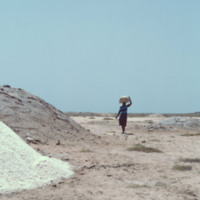
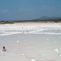
Piles of salt arranged near a salt pan on Maio. A woman transports some using a container balanced on her head.

These large salt pans, or salinas, located near Vila do Maio, were the islands main source of income for centuries. Salt from these…

http://www.ricdigitalcommons.com/Baxter_temp/CV-89-052.jpg
Piles of salt arranged near a salt pan on Maio. A woman transports some using a container balanced on her head.

These large salt pans, or salinas, located near Vila do Maio, were the islands main source of income for centuries. Salt from these…

http://www.ricdigitalcommons.com/Baxter_temp/CV-89-051.jpg
These large salt pans, or salinas, located near Vila do Maio, were the islands main source of income for centuries. Salt from these pans was transported to an English port where it was then shipped to various countries around the world. The business…

http://www.ricdigitalcommons.com/Baxter_temp/CV-89-050.jpg
These large salt pans, or salinas, located near Vila do Maio, were the islands main source of income for centuries. Salt from these pans was transported to an English port where it was then shipped to various countries around the world. The business…

http://www.ricdigitalcommons.com/Baxter_temp/CV-89-049.jpg
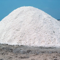
A pile of salt mined from salt pans located near Vila do Maio. The salinas were the islands main source of income for centuries. Salt from these pans was transported to an English port where it was then shipped to various countries around the world.…

http://www.ricdigitalcommons.com/Baxter_temp/CV-89-048.jpg
These large salt pans, or salinas, located near Vila do Maio, were the islands main source of income for centuries. Salt from these pans was transported to an English port where it was then shipped to various countries around the world. The business…

http://www.ricdigitalcommons.com/Baxter_temp/CV-85-027.jpg
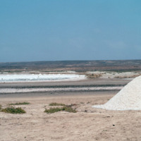
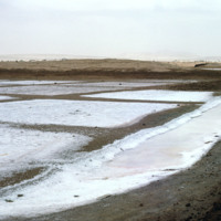
This picture, taken just outside of Sal Rei, shows several "salinas" (salt pans) for the production of sea salt. One of the main industries in the Cape Verde islands is salt mining, along with fishing, and ship repair.

http://www.ricdigitalcommons.com/Baxter_temp/CV-81-004.jpg
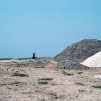
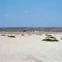
A view of the barren landscape of Sal. The landscape here has been compared to the surface of Mars, and the islands main export is salt, and has been mined for such since before the 15th century. This photograph was taken near Amilcar Cabral…

http://www.ricdigitalcommons.com/temp/1168.jpg
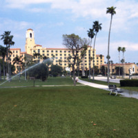
The Renaissance Vinoy Resort & Golf Club in St. Petersburg was built in 1925. The building was constructed in the Mediterranean Revival design complete with cypress-beamed ceilings and handmade tile work. The hotel also has its own private marina…

http://www.ricdigitalcommons.com/temp/1228.jpg
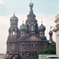
Following the assassination of Alexander the II in 1881, his heir, Alexander III, commissioned the building of this cathedral to memorialize his father. The design, carried out by Alfred Parland, draws heavily from St. Basil in Moscow. Following the…

http://www.ricdigitalcommons.com/temp/1221.jpg
While multiple versions of St. Isaac Cathedral had been attempted in the 18th century none had been completed to specification. At the beginning of the 19th century Alexander I commissioned this final, and much more grand vision of the Saint Isaac's…

http://www.ricdigitalcommons.com/temp/4937.jpg
Jacob Ruppert Jr.'s private estate at Eagle's Rest, in Garrison, NY. After his death in 1939, the estate was converted into a school for at-risk children called Saint Basil Academy, opening in 1944. Long before Ruppert or the Academy, the property…

JM-IAIRI-197XXXXX-33.jpg
Mr. Russ Di Orio [was] one of the largest leading manufacturerers of Rhode Island's famous jewelry industry. He [was] the owner of Di Orio Enterprises, Inc., [at the time] located at 861 Broad Street in Providence. Di Orio Enterprises primarily…

http://www.ricdigitalcommons.com/Baxter_temp/CV-81-130.jpg
Stone houses with thatched roof located high in the distance against a massive shear mountain face. The land here is rocky, but with abundant plant life. The children appear to be heading back to the homes or leaving carrying baskets perhaps to…

http://www.ricdigitalcommons.com/temp/4936.jpg
Smolski described this as being part of the "rural slums" of North Carolina. In the 1970s, rural North Carolina was poverty-stricken and held the larger populations of African-American families. This photo is an example of the economic distress and…

NTB-130-09.pdf
Booklet with instructions for conducting seances at home.

http://www.ricdigitalcommons.com/Baxter_temp/CV-85-048.jpg
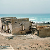
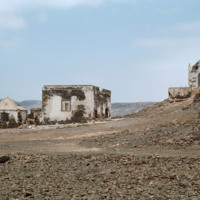
The ruins of a home at Praia de Cabral, a beach located about 2 miles from Sal Rei. The home is connected to a stair case that leads to the beach. Nearby are the ruins of a small chapel.

http://www.ricdigitalcommons.com/Baxter_temp/CV-89-013.jpg
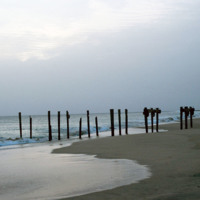
The posts of a ruined dock near the Vila do Maio.

http://www.ricdigitalcommons.com/Baxter_temp/CV-85-045.jpg
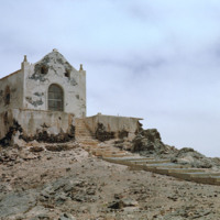
The ruins of a small chapel near Praia de Cabral, a sandy beach and cove about two miles from Sal Rei. To the left are the ruins of a home which once had steps leading down to the beach.

http://www.ricdigitalcommons.com/Baxter_temp/CV-85-046.jpg
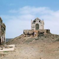
The ruins of a small chapel are photographed against a dramatic sky. These ruins on Boa Vista are located near Praia de Cabral, a beach that is within two miles of Sal Rei. Not pictured here but nearby are the ruins of a home that has a staircase…

http://www.ricdigitalcommons.com/Baxter_temp/CV-85-044.jpg
The ruins of a small chapel located near Praia de Cabral, a beach about two miles from Sal Rei. To the left, the ruins of an old home which once had steps leading down to the beach below.

http://www.ricdigitalcommons.com/Baxter_temp/CV-80-201.jpg
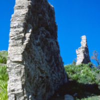
Ruins of an unknown structure in the high valley on São Nicolau.

http://www.ricdigitalcommons.com/temp/4925.jpg
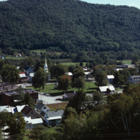
Aerial image of the downtown village of South Royalton in Royalton, Vermont from Interstate 89. Royalton is known for the Vermont Law School (Vermont's only law school) as well as being home to beautiful scenery such as the Kent's Ledge hiking trail…

http://www.ricdigitalcommons.com/Baxter_temp/CV-83-031.jpg
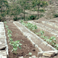
Pictured are planted rows of crops on the municipality of Paul. The area is known for its nutrient rich land that gives rise to a diverse range of crops, the most prominent being corn.

http://www.ricdigitalcommons.com/temp/1246.jpg
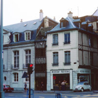
This photograph shows the density and variety of housing in Rouen, a famous and historic city in France. In the medieval period it was one of the largest cities. Today it is is the capital of the Haute-Normadie region and home to many historic sites…

http://www.ricdigitalcommons.com/temp/5494.jpg
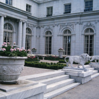
On the approach to the entry arch at the south end, the first story, wrapped in its cadence of piers, columns, and carved swag, dominates the facade. The H shaped plan frames a front garden and a seaward-facing terrace with projecting wings. The…

http://www.ricdigitalcommons.com/temp/5482.jpg
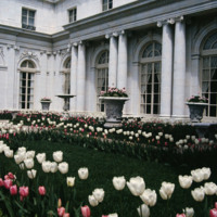
  Designed by McKim, Meade and White, particularly Stanford White, Rosecliff was built strictly as a summer residence for Tessie and Herman Oelrich. The money used to finance the construction of Rosecliff came from her father, James Graham Fair, one…
Output Formats

atom, dcmes-xml, json, omeka-xml, rss2