Browse Items (993 total)

  • Collection: Chester Smolski Photographs

http://www.ricdigitalcommons.com/temp/1040.jpg
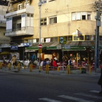
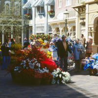
Pictured is a corner restaurant on Dizengoff Street on Israel’s weekly Shabbat (Sabbath) day. Dizengoff Street, Tel Aviv’s busiest social area is usually flowing with pedestrians and traffic, but it is evident that the crowds are reduced on this day.…

http://www.ricdigitalcommons.com/temp/1045.jpg
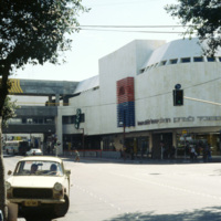
The Dizengoff Center was Israel’s first mall and was built over a period of eleven years, from 1972 to 1983. The first stores opened in 1977 and today it has a total of 420 sores. The Dizengoff Center is partly blamed for declined business on nearby…

http://www.ricdigitalcommons.com/temp/1046.jpg
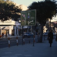
Named after the British General Sir Edmund Henry Hynman Allenby, Allenby Street is one of the major streets in Tel Aviv. The street originates in Hamoshavot Square and runs until Haknesset Square. Known for its commercial centered theme, the street…

http://www.ricdigitalcommons.com/temp/1047.jpg
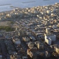
Pictured in the upper left hand corner in this aerial shot is Tel Aviv’s Carmel Market. The market is located on Carmel Street, in between Allenby Street and Magen David Square. Being the largest market in Tel Aviv, the Carmel Market is open everyday…

http://www.ricdigitalcommons.com/temp/1048.jpg
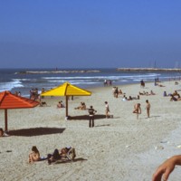
Along the west side of Tel Aviv rests a lengthy stretch of shoreline divided into several different beaches. These beaches include: Hof Hatzuk Beach, Sheraton Beach, The Separated Beach, Atzmout Beach, Hilton Beach, Gordon Beach, Frishman Beach, The…

http://www.ricdigitalcommons.com/temp/1049.jpg
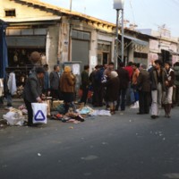
The Jaffa Flea Market is located between Yefet Street and Jerusalem Boulevard. It is heavily populated with people Sunday through Friday and offers a wide variety of goods to be purchased. These goods include a large selection of jewelry and oriental…

http://www.ricdigitalcommons.com/temp/1051.jpg
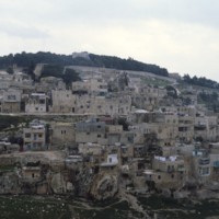
The Mount of Olives is a mountainside in Jerusalem covered in a combination of magnificent architecture and stones. Among the various highlights of the Mount are the Church of Mary Magdalene, the Garden of Gethsemane, the Basilica of the Agony, and…

http://www.ricdigitalcommons.com/temp/1054.jpg
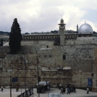
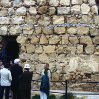
At about 1600 feet, the Western Wall is the longest of the four walls retaining the Temple Mount. It is mainly noted for its tourism and frequent visitors, as it is a famous Jewish prayer area for the people of Israel.

http://www.ricdigitalcommons.com/temp/1055.jpg
Named after the President of the French Republice during WWII, the Charles DeGaulle Airport is the second busiest airport in Europe. The airport is comprised of three terminals: the first for international travelers, the second for European airlines,…

http://www.ricdigitalcommons.com/temp/1057.jpg
Masada is a natural fortress which was used by Jews during rebellion against the Romans. It is located near the Dead Sea and some biblical fragments, pieces of the Dead Sea Scrolls, have been located here. In AD 73/74 nine hundred Jewish rebels…

http://www.ricdigitalcommons.com/temp/1058.jpg
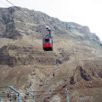
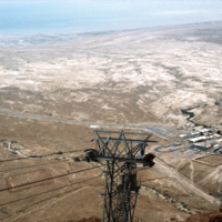
Masada, once a fortress in the last Jewish holdout against the Romans, represents bravery and self sacrifice to modern Jews, which ended in the mass suicide of nine hundred rebels. It is now reached by cable car for visitors. In the twentieth…

http://www.ricdigitalcommons.com/temp/1059.jpg
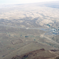
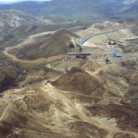
Taken from atop of Masada this photograph shows the remains of the Roman Siege camps constructed in AD 74. At the time Masada had been taken by approximately 900 Jewish Rebels. Masada eventually fell to the Romans and the rebels, also known as the…

http://www.ricdigitalcommons.com/temp/1060.jpg
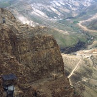
This photograph shows Masada’s natural fortification and ruins of King Herod’s Palace built in the first century BC. Because of it’s remote location and natural defenses, Masada has been mostly untouched since the first century BC. Recent…

http://www.ricdigitalcommons.com/temp/1061.jpg
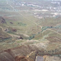
Seen from atop Masada, a natural fortress in an otherwise wasteland, is the remains of a Roman Siege camp from AD 74. Jewish rebels took the fortress in AD 66 and held it for seven years until Romans took them by force. The rebels committed mass…

http://www.ricdigitalcommons.com/temp/1062.jpg
This photograph looks east from Masada towards the Dead Sea. Masada is a natural fortress that was most invested in by King Herod, who in the first century BC constructed a intricate palace atop this isolated horst. Masada was the site of a mass…

http://www.ricdigitalcommons.com/temp/1063.jpg
This photo is taken at the top of Masada, a horst that was used as a fortress by many ancient people. King Herod, in the first century BC, built an elaborate palace here, perhaps fearing he would have to go into isolation because of his unpopularity…

http://www.ricdigitalcommons.com/temp/1064.jpg
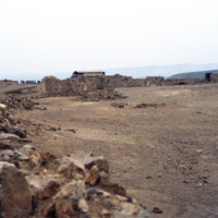
Upon embarking on a rigorous and dangerous climb, tourists can reach the top of Masada by a small number of pathways. Spanning around 200,000 square yards, the top of Masada is completely flat. Today, the top still contains the ruins of Herod’s…

http://www.ricdigitalcommons.com/temp/1066.jpg
Upon embarking on a rigorous and dangerous climb, tourists can reach the top of Masada by a small number of pathways. Spanning around 200,000 square yards, the top of Masada is completely flat. Today, the top still contains the ruins of Herod’s…

http://www.ricdigitalcommons.com/temp/1067.jpg
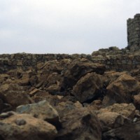
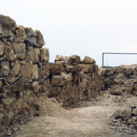
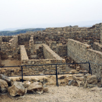
Excavations of Masada were not seriously undertaken until the 1960s when Masada became part of Israeli territory. With the help of twentieth century technology archeologists were able to access this natural fortress that had been largely untouched…

http://www.ricdigitalcommons.com/temp/1068.jpg
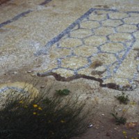
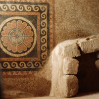
Mosaic in King Herod’s Palace at Masada. Despite it’s remote location, excavations at Masada have revealed beautiful tiles and mosaics, and balconies with beautiful views of the surrounding country. Masada was taken in A.D. 66 by Jewish rebels who…

http://www.ricdigitalcommons.com/temp/1069.jpg
Excavations of Masada were not seriously undertaken until the 1960s when Masada became part of Israeli territory. With the help of twentieth century technology archeologists were able to access this natural fortress that had been largely untouched…

http://www.ricdigitalcommons.com/temp/1070.jpg
This photograph shows a Roman style bath built by King Herod at Masada. Masada was one of the fortresses built during Herod’s rule in the first century BC. Herod was generally unpopular with the Jews, so perhaps this is why he spent much effort…

http://www.ricdigitalcommons.com/temp/1071.jpg
Largely untouched for two thousand years, this photograph shows the original Roman access road to Masada, which can still be traveled on foot by visitors. On the western side, this “ramp” was constructed by the Romans as a way to penetrate the…

http://www.ricdigitalcommons.com/temp/1072.jpg
Largely untouched for two thousand years, this photograph shows the original Roman access road to Masada, which can still be traveled on foot by visitors. On the western side, this “ramp” was constructed by the Romans as a way to penetrate the…

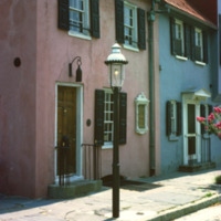
http://www.ricdigitalcommons.com/temp/1073.jpg
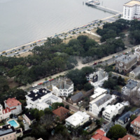
Built at the turn of the 18th century, Charleston, South Carolina’s Pink House gets its name from the coral Bermuda stone that was used to build it. Bermuda stone is unique in that it is soft and malleable, but when exposed to outside weather, it…

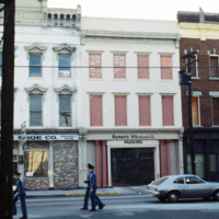
http://www.ricdigitalcommons.com/temp/1074.jpg
Originating in 1890, Hyman’s Wholesale Co. was established by W.M. Karesh, a Jewish immigrant. The company has been passed down from generation to generation and is now known as Hyman’s Seafood and Aaron’s Deli. In the year of 1986, the Omni hotel…

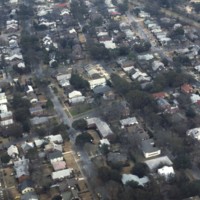
http://www.ricdigitalcommons.com/temp/1075.jpg
With a 2010 census of 120,083 people, Charleston is South Carolina’s second largest city. Also known as The Holy City, Charleston is known for its religious tolerance as many Huguenots have settled here. This neighborhood lies on the peninsula formed…

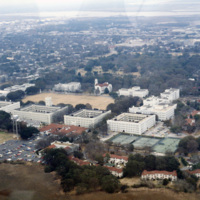
http://www.ricdigitalcommons.com/temp/1076.jpg
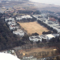
This photograph, taken in the late 1970s, is an aerial view of the Citadel: Military College of South Carolina. The Romanesque design of the buildings was based on the architecture of the Old Citadel, which was designed by Frederick Wesner in…

http://www.ricdigitalcommons.com/temp/1077.jpg
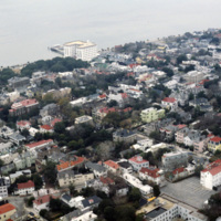
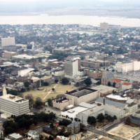
This aerial photograph of downtown Charleston shows the city’s low rise skyline along the Charleston Harbor. At the top center of the photograph is the Fort Sumter Hotel, a seven story structure that towers over the residential surroundings. Designed…

http://www.ricdigitalcommons.com/temp/1078.jpg
The College of Charleston is one of the oldest institutions of higher learning in the United States. It was founded in 1770. This photograph shows the quad and an obscured view of Randolph Hall. The building was created in two parts, the center of…

http://www.ricdigitalcommons.com/temp/1079.jpg
The Citadel is a military college in South Carolina that has it’s roots in the nineteenth century, and was originally used by Confederate soldiers in the nineteenth century. Federal troops occupied the original Citadel during the reconstruction until…

http://www.ricdigitalcommons.com/temp/1080.jpg
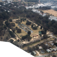
This aerial photograph shows Hampton Park and the Citadel: Military College of South Carolina. Hampton Park, named for Confederate General Wade Hampton III, was the site of a race track, a prisoner of war camp, a plantation, and even a trade…

http://www.ricdigitalcommons.com/temp/1081.jpg
This photograph of downtown Charleston reflects the city’s prosperity during the nineteenth century. At the center left of the frame is the Battery Carriage House Inn, a large home built by Samuel N. Stevens in 1843. Colonel Lathers commissioned…

http://www.ricdigitalcommons.com/temp/1082.jpg
This aerial photograph looks south west across the peninsula that is downtown Charleston. The mouth of the Ashley River empties into the Charleston Harbor on the horizon, while the foreground is spotted with the city’s many historical and…

http://www.ricdigitalcommons.com/temp/1083.jpg
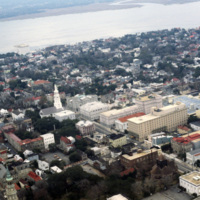
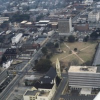
This aerial image of downtown Charleston has Meeting St. running diagonally across the picture plane. St. Michael’s Church (1752-61) is at center left, is significant because it is the oldest religious structure in the city. It was designed by an…

http://www.ricdigitalcommons.com/temp/1084.jpg
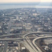
This aerial captures the meeting of Highway 26 with U.S. 17 in downtown Charleston, South Carolina. Highway 26 consists of the major roads running horizontal to the right of the split, while U.S. 17 runs perpendicular to it and continues veering off…

http://www.ricdigitalcommons.com/temp/1085.jpg
This aerial photograph shows housing around the borders of Charleston International Airport. The airport is a joint civil-military airport, which was privately constructed in the 1920s. During World War II the US Army began using the airport as part…

http://www.ricdigitalcommons.com/temp/1087.jpg
Located on the west bank of the Cooper River is Charleston’s former Naval Station. Closed down in the mid 1990s, the three miles of river front was seen as a large investment in real estate. In charge of redeveloping this $60 million dollar area…

http://www.ricdigitalcommons.com/temp/1089.jpg
Pictured is one of the many suburban neighborhoods in Charleston. Calhoun Street, a major street running from east to west, was viewed as the major boundary separating the north suburbs from the southern urban area.

http://www.ricdigitalcommons.com/temp/1090.jpg
Adopted by Dubose Heyward, this section of Church Street is responsible for inspiring “Catfish Row” in his story “Porgy”. This story was eventually turned into the opera production “Porgy and Bess” which depicts black life in the 1920s in Charleston.…

http://www.ricdigitalcommons.com/temp/1091.jpg
Once the center of Charleston’s commerce, these homes have since been purchased and restored by Dorothy Legge. The name “Rainbow Row” was coined with these buildings due to their wide variety of vibrant colors. These 1700s style buildings used to be…

http://www.ricdigitalcommons.com/temp/1092.jpg
The rectangular plot of land seen in the center of this aerial shot is known as Marion Square. The grounds are home to many monuments as well as the South Carolina State Arsenal, aka the Old Citadel. The tall statue to the middle left of the area is…

http://www.ricdigitalcommons.com/temp/1094.jpg
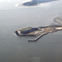
This aerial photograph shows Fort Sumter, a historic military fortification that is best remembered as the first battle of the Civil War. Though a coastal fortification, Fort Sumter, located in Charleston Harbor, is accessible only by boat. It is now…

http://www.ricdigitalcommons.com/temp/1095.jpg
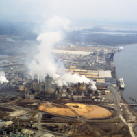
This photograph shows industrial zoning in North Charleston. The city was incorporated in 1972 from several different smaller areas. Within a decade it had become the third largest city in the state and the state's major industrial and commercial…

http://www.ricdigitalcommons.com/temp/1096.jpg
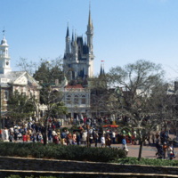
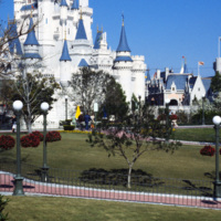
This photograph shows the Cinderella’s Castle, the icon of Walt Disney Word Resort’s Magic Kingdom, with a large number of visitors. It was built in 1971 by WED Enterprises. Walt Disney World was planned in the 1960s as a larger version of…

http://www.ricdigitalcommons.com/temp/1097.jpg
Opening in 1971, Walt Disney World in Florida was the second park envisioned by American animator Walt Disney. This photograph show’s Cinderella’s Castle, an icon of Disney’s Magic Kingdom, and a major tourist attraction.
http://www.ricdigitalcommons.com/temp/1098.jpg
The Magic Kingdom at Walt Disney World in Florida is the first park to be opened at the Florida Amusement Park. The design was based on Disneyland, a California amusement park opened in 1955, except on a grander scale. The Magic Kingdom is one of…
http://www.ricdigitalcommons.com/temp/1099.jpg
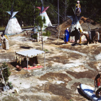
Frontierland is one of the themed lands in Walt Disney World’s Magic Kingdom. It is based on the 19th century American West. This photograph shows an Indian Village and train tracks of the Walt Disney World Railroad passing in the background.
http://www.ricdigitalcommons.com/temp/1100.jpg
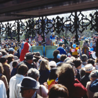
November 18, 1978 marked Mickey Mouse’s 50th Birthday. Several times that year, Walt Disney World celebrated with a special parade in his honor that spanned the entire magic kingdom Main Street. The characters were staged on oversized floats…
http://www.ricdigitalcommons.com/temp/1101.jpg
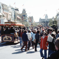
Main Street USA is a themed land at Magic Kingdom styled parks run by The Walt Disney Company. This photograph shows the Magic Kingdom at Disney World, Florida. Main Street USA mixes architectural styles from around the United States at the turn of…
Output Formats

atom, dcmes-xml, json, omeka-xml, rss2