Browse Items (1954 total)

http://www.ricdigitalcommons.com/temp/0459.jpg
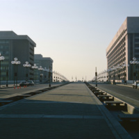
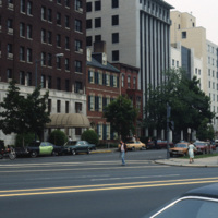
L’Enfant Plaza in Washington D.C. is a complex of several commercial and government buidlings. “La Promenade” shopping mall is also a part of the plaza. Named for Pierre Charles L’Enfant, the man responsible for the design and plan of Washington…

http://www.ricdigitalcommons.com/temp/0460.jpg
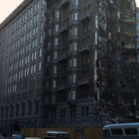
Washington D.C. began a plan to revitalize the city shortly after World War II. The rapid population growth following the war inspired a suburban sprawl into the surrounding areas of Maryland and Virginia. As buildings in downtown D.C. fell to…

http://www.ricdigitalcommons.com/temp/0464.jpg
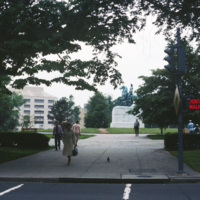
The George Washington Equestrian Statue stands at the center of Washington Circle. The bronze statue depicts George Washington on horseback fighting the 1776 Battle of Princeton. Clark Mills sculpted the Washington Circle statue, as well as another…

http://www.ricdigitalcommons.com/temp/0469.jpg
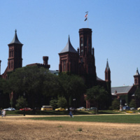
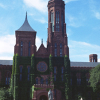
The original home of the Smithsonian Institute was built by architect James Renwick, Jr. The Romanesque style building, referred to as the “Castle”, is located on the National Mall in Washington and was commissioned in 1846. The structure was built…

http://www.ricdigitalcommons.com/temp/0470.jpg
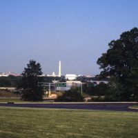
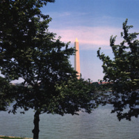
A distant view of the Washington D.C. cityscape. The Washington Monument, the most prominent fixture in the D.C. skyline, was completed in 1886.

http://www.ricdigitalcommons.com/temp/0471.jpg
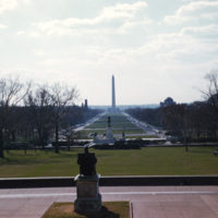
The view from the Capitol steps overlooks the National Mall and the George Washington Monument. The plan for the National Mall began at the very end of the 18th century with the vision of Pierre Charles L’Enfant. Many years and political events,…

http://www.ricdigitalcommons.com/temp/0472.jpg
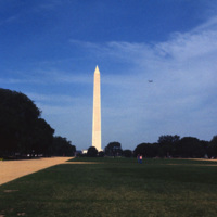
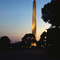
A distant view of the Washington Monument from the National Mall, a public national park. The Washington Monument, the most prominent fixture in the D.C. skyline, was completed in 1886. (date of photograph has been approximated)

http://www.ricdigitalcommons.com/temp/0473.jpg
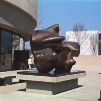
The Hirshhorn Museum Sculpture Garden, a Smithsonian institution, is an architectural landmark in Washington D.C. The garden added to the architectural significance, featuring sculptural pieces in the grounds surrounding the museum. (date of…

http://www.ricdigitalcommons.com/temp/0441.jpg
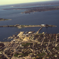
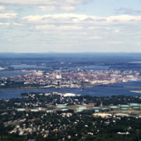
An aerial view of Newport Harbor and waterfront in Newport, Rhode Island. Long Wharf, to the right, and Goat Island, the slender island just offshore, are located on the western side of island. The shipping industry has a long history in Newport,…

http://www.ricdigitalcommons.com/temp/0442.jpg
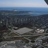
An aerial view over Middletown, Rhode Island. The building with the large lot is Newport Grand Jai Alai, shortened to Newport Grand, a casino. The photo shows development along Route 138, just outside of Newport.

http://www.ricdigitalcommons.com/temp/0447.jpg
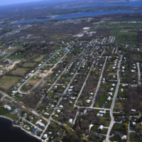
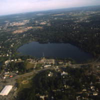
An aerial view of a planned community. Planned communities became popular in the 1960s throughout the United States. Planned communities typically made deliberate use of land that was previously unoccupied.

http://www.ricdigitalcommons.com/temp/0448.jpg
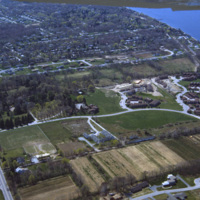
An aerial view of a planned community. Planned communities became popular in the 1960s throughout the United States. Planned communities typically made deliberate use of land that was previously unoccupied.

http://www.ricdigitalcommons.com/temp/0451.jpg
Pennsylvania Avenue leads to the White House, located at 1600 Pennsylvania Avenue in Washington D.C. The road referred to as “America’s Main Street” is often host to parades and protest marches. Pennsylvania Avenue was one of the first roads created…

http://www.ricdigitalcommons.com/temp/0475.jpg
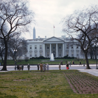
The White House has served as the home for the American Presidents and their families for more than 200 years. The first cornerstone was laid in 1792, and the building was completed around 1800. George Washington commissioned the construction of the…

http://www.ricdigitalcommons.com/temp/0476.jpg
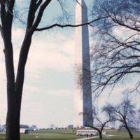
The Washington Monument, the most prominent fixture in the D.C. skyline, was completed in 1884 in honor of the first American president, George Washington. The monument stands over 555 ft tall and offers views over thirty miles. A design competition…

http://www.ricdigitalcommons.com/temp/0477.jpg
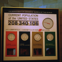
The population clock recording the number of births, deaths, immigrants and emigrants to the United States. The population clock reads 208,340,106 people: “An additional American every 14 1/2 seconds”.

http://www.ricdigitalcommons.com/temp/0478.jpg
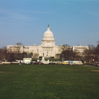
A view of the expansive United States Capitol building in Washington, D.C. The Capitol building covers approximately four acres of land and is host to 3-5 million visitors every year. First built in 1793, the home of the Senate and House of…

http://www.ricdigitalcommons.com/temp/0479.jpg
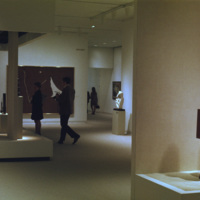
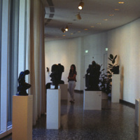
Exhibits at the Hirshhorn Museum in Washington D.C. The Hirshhorn is an architectural landmark and includes an outdoor sculpture garden on its grounds. The Hirshhorn Museum is a Smithsonian institution located on the National Mall. The museum is…

http://www.ricdigitalcommons.com/temp/0482.jpg
Exhibits at the Hirshhorn Museum in Washington D.C. The Hirshhorn is an architectural landmark and includes an outdoor sculpture garden on its grounds. The Hirshhorn Museum is a Smithsonian institution located on the National Mall. The museum is…

http://www.ricdigitalcommons.com/temp/0481.jpg
The original home of the Smithsonian Institute was built by architect James Renwick, Jr. The Romanesque style building, referred to as the “Castle”, is located on the National Mall in Washington and was commissioned in 1846. The structure was built…

http://www.ricdigitalcommons.com/temp/0484.jpg
The Washington Monument, the most prominent fixture in the D.C. skyline, was completed in 1884 in honor of the first American president, George Washington. The monument stands over 555 ft tall and offers views over thirty miles. A design competition…

http://www.ricdigitalcommons.com/temp/0485.jpg
The Washington Monument, the most prominent fixture in the D.C. skyline, was completed in 1884 in honor of the first American president, George Washington. The monument stands over 555 ft tall and offers views over thirty miles. A design competition…

http://www.ricdigitalcommons.com/temp/0487.jpg
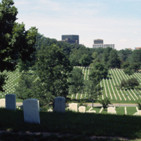
Arlington National Cemetery was established during the American Civil War and currently covers an area of 624 acres in Arlington, VA. This photograph, taken in the mid-1980s looks north across the cemetery and shows the Arlington skyline on the…

http://www.ricdigitalcommons.com/temp/0493.jpg
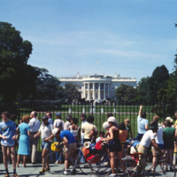
Tourists visiting the White House in Washington D.C., photographed by Chet Smolski. Until the early twentieth century, The White House was open to the public, but has since been restricted due to security concerns. However, free and public tours of…

http://www.ricdigitalcommons.com/temp/0494.jpg
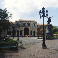
The oldest cathedral in the Americas is Catedral Santa Maria la Menor located in Santo Domino, the capital of the Dominican Republic. The Dominican Republic was the first island in the Americas to be taken over by the Spanish after Christopher…

http://www.ricdigitalcommons.com/temp/0495.jpg
An aerial view over Santo Domingo, in the Dominican Republic.

http://www.ricdigitalcommons.com/temp/0497.jpg
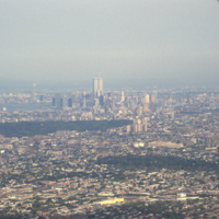
Aerial photograph showing Manhattan and Brooklyn looking West towards the city. This image shows the New York skyline as it was known from the late 1960s until the attack on the World Trade Center in 2001.

http://www.ricdigitalcommons.com/temp/0405.jpg
Portland, Maine is located in the south coast region of the state. Portland is home to almost one quarter of Maine’s residents, and is known as the “metropolitan hub” of this region.

http://www.ricdigitalcommons.com/temp/0424.jpg
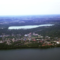
The University of Wisconsin, Madison Campus situated along Lake Mendota. The Madison Campus is the oldest and largest in the University of Wisconsin system, established in 1849. Notable architectural landmarks on the campus include the Science Hall…

http://www.ricdigitalcommons.com/temp/0414.jpg
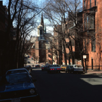
The Boston neighborhood known as the South End (see notes) was once marshland that was filled in the 1840s as a solution to overcrowding in the Back Bay area. Renowned architect Charles Bulfinch created a plan for the South End neighborhood’s…

http://www.ricdigitalcommons.com/temp/0415.jpg
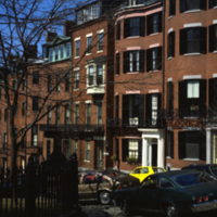
The Boston neighborhood known as the South End (see notes) was once marshland that was filled in the 1840s as a solution to overcrowding in the Back Bay area. Renowned architect Charles Bulfinch created a plan for the South End neighborhood’s…

http://www.ricdigitalcommons.com/temp/0416.jpg
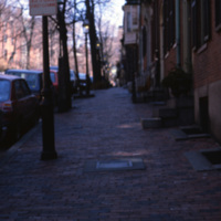
The Boston neighborhood known as the South End (see notes) was once marshland that was filled in the 1840s as a solution to overcrowding in the Back Bay area. Renowned architect Charles Bulfinch created a plan for the South End neighborhood’s…

http://www.ricdigitalcommons.com/temp/0417.jpg
The Boston neighborhood known as the South End (see notes) was once marshland that was filled in the 1840s as a solution to overcrowding in the Back Bay area. Renowned architect Charles Bulfinch created a plan for the South End neighborhood’s…

http://www.ricdigitalcommons.com/temp/0515.jpg
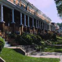
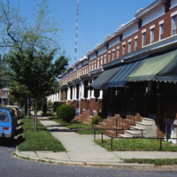
Row houses were popular in urban areas of the East Coast throughout the 19th century. Baltimore’s urban landscape has the best representation of the row house architecture, varying from grand manses to middle-class homes in various architectural…
http://www.ricdigitalcommons.com/temp/0516.jpg
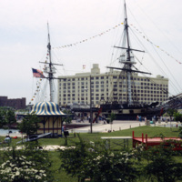
This 1978 photograph shows the USS Constellation at the inner harbor in Baltimore, Maryland. It was moved here in 1968 as part of the city’s revitalization plan. In the 1970’s the Inner Harbor emerged as the cultural center of Baltimore with the USS…

http://www.ricdigitalcommons.com/temp/0517.jpg
Baltimore’s Inner Harbor has become the cultural center of the city since the waterfront revitalization project launched in the 1970’s. This 1978 photograph show’s the docks before they were developed into the National Aquarium and various commercial…

http://www.ricdigitalcommons.com/temp/0518.jpg
This view of the Baltimore skyline show’s the city in transition during the revitalization process that began around 1970. The 18 story building in the center of the photograph is the Maryland Casualty Company Tower, known locally as the Tower…

http://www.ricdigitalcommons.com/temp/0519.jpg
The Maryland Science Center (MSC) was built in the Inner Harbor in 1976, but grew from the Maryland Academy of Sciences formed in 1797. When the MSC opened in June 1976 it had both interactive exhibits and a state of the art planetarium. Since then…

http://www.ricdigitalcommons.com/temp/0520.jpg
An example of row housing in Baltimore, Maryland. While row houses are popular in many cities, Baltimore in particular has them in the thousands in various architectural styles. This 1978 photograph from the Smolski collection shows an unidentified…

http://www.ricdigitalcommons.com/temp/0521.jpg
Row houses were popular in urban areas of the East Coast throughout the 19th century. Baltimore’s urban landscape has the best representation of the row house architecture, varying from grand manses to middle-class homes in various architectural…
http://www.ricdigitalcommons.com/temp/0522.jpg
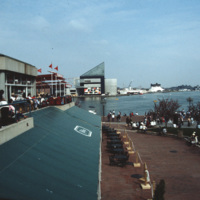
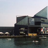
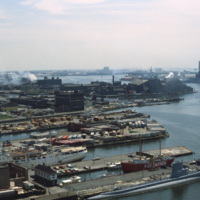
The National Aquarium in Baltimore, Maryland. Photographed from a restaurant across the Inner Harbor, this 1985 view of the National Aquarium is before the historic ships, including the USS Torsk were moored as permanent installations. The building…

http://www.ricdigitalcommons.com/temp/0523.jpg
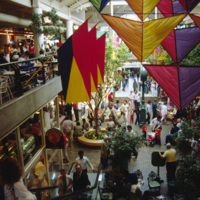
This interior photograph shows the Light Street Pavilion at Harborplace Mall. This Inner Harbor mall was opened in 1980 as the centerpiece of the downtown revival. The mall originally consisted of two two-story pavilions, Pratt St. and Light St.…

http://www.ricdigitalcommons.com/temp/0524.jpg
Row houses were popular in urban areas of the East Coast throughout the 19th century. Baltimore’s urban landscape has the best representation of the row house architecture, varying from grand manses to middle-class homes in various architectural…
http://www.ricdigitalcommons.com/temp/0526.jpg
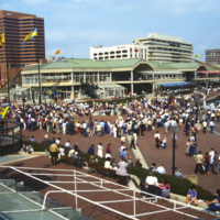
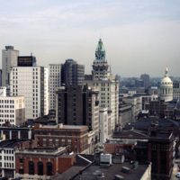
The Inner Harbor Plaza is a tourist friendly area in downtown Baltimore that has been described as a model for post-industrial waterfront redevelopment. This 1985 photograph gives an impression of the amount of draw the museums, shopping and…

http://www.ricdigitalcommons.com/temp/0527.jpg
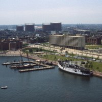
This southwest facing aerial view of Baltimore’s Inner Harbor shows it in a transitional stage. The Maryland Science Center is without it’s later added IMAX theater and lobby. The long tan building on Light St. is Christ Church Harbor apartments, an…

http://www.ricdigitalcommons.com/temp/0528.jpg
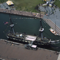
An aerial photograph of the USS Constellation shows it in it’s deteriorating condition prior to it’s 1990’s restoration. The 19th century fighting ship was used in military service through World War II before ending up in Baltimore as a relic.

http://www.ricdigitalcommons.com/temp/0529.jpg
The National Aquarium in Baltimore photographed in 1985 shows it in it’s original form under the direction of Peter Chermayeff of the Cambridge Seven. Additions to the aquarium were made in 1990 and 2004. The National Aquarium is in Baltimore’s Inner…

http://www.ricdigitalcommons.com/temp/0530.jpg
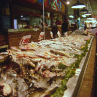
An interior view of the Cross Street Market is located on Federal Hill in Baltimore. This popular market, established in 1846, has gone through a couple incarnations. It’s current structure, completed in 1952, is 30,000-sqaure-feet and hosts about…

http://www.ricdigitalcommons.com/temp/0531.jpg
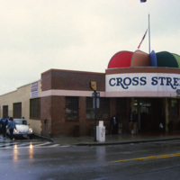
The Cross St. Market is one of Baltimore’s six surviving market places. Located in Federal Hill and close to the Inner Harbor, it is a popular destination for tourists and locals alike. The Cross St. Market sells produce, fresh meat and seafood. The…

http://www.ricdigitalcommons.com/temp/0532.jpg
The Cross St. Market on Charles St. is a one of Baltimore’s six surviving marketplaces. This structure was built in 1952 after a fire destroyed the two story Italian revival building that had stood since the turn of the century. The Cross St. Market…
Output Formats

atom, dcmes-xml, json, omeka-xml, rss2