Browse Items (1954 total)

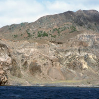
http://www.ricdigitalcommons.com/Baxter_temp/CV-81-349.jpg
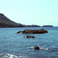
Brava's dramatic coastline photographed during a journey by small boat from Faj

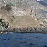
http://www.ricdigitalcommons.com/Baxter_temp/CV-81-348.jpg
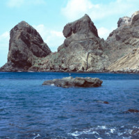
Brava's dramatic coastline photographed during a journey by small boat from Faj

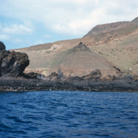
http://www.ricdigitalcommons.com/Baxter_temp/CV-81-347.jpg
Brava's varied, but always rocky, coastline photographed during a journey by small boat from Faj

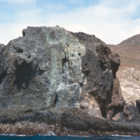
http://www.ricdigitalcommons.com/Baxter_temp/CV-81-346.jpg
The rocky and steep coastline of Brava photographed during a journey by small boat from Faj

http://www.ricdigitalcommons.com/Baxter_temp/CV-81-345.jpg
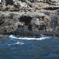
A man, perhaps a fisherman, on the rocky and step coast of Brava. Photographed during a journey by small boat from Faj

http://www.ricdigitalcommons.com/Baxter_temp/CV-81-344.jpg
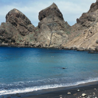
Some large rocks jut out of the harbor at Fajã d'Água. The step and mountainous coastline surround this small village protects it from northwestern winds, creating this calm, quiet harbor.

http://www.ricdigitalcommons.com/Baxter_temp/CV-81-343.jpg
The steep mountains that protect Fajã d'Água from the strong northwestern winds that sweep across Brava.

http://www.ricdigitalcommons.com/Baxter_temp/CV-81-342.jpg
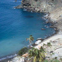
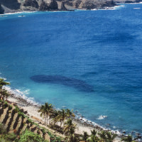
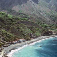
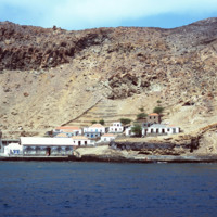
An elevated view of Fajã d'Água shows it's steep shoreline but also the clear, calm waters of it's harbor that made it an ideal place for whaling boats to dock early in the 20th century.

http://www.ricdigitalcommons.com/Baxter_temp/CV-81-341.jpg
The clear, placid waters of the harbor at Fajã d'Água are uncommon for Brava, an island that is swept by strong northwestern winds. However, this harbor and village are protected by steep mountains. It was once a place where whaling ships would dock.…

http://www.ricdigitalcommons.com/Baxter_temp/CV-81-340.jpg
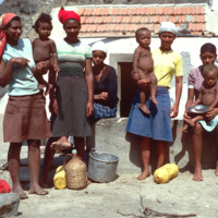
Residents of Fajã d'Água pose for a photo by David Baxter. [Unidentified]

http://www.ricdigitalcommons.com/Baxter_temp/CV-81-339.jpg
Fajã d'Água harbor was once a harbor for whaling boats but is now a quiet, placid waterfront protected from northwestern winds by step mountains.

http://www.ricdigitalcommons.com/Baxter_temp/CV-81-338.jpg
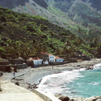
Fajã d'Água photographed from the shoreline shows the green landscape, terraced farming and close proximity of the houses to the water. Because the village lies at the foot of a steep mountain, it is sheltered from the fierce winds that are…

http://www.ricdigitalcommons.com/Baxter_temp/CV-81-337.jpg
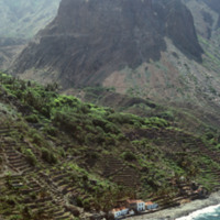
This aerial photograph of Fajã d'Água puts into perspective it's position at the foot of a steep mountain. Because of it's location it is sheltered from the northwest winds, making this little village very green and pleasant.

http://www.ricdigitalcommons.com/Baxter_temp/CV-81-336.jpg
An aerial view of Fajã d'Água, a small village at the foot of a mountain, and also one of the most beautiful bays in Cape Verde. This quiet village was once where whaling boats would anchor.

http://www.ricdigitalcommons.com/Baxter_temp/CV-81-335.jpg
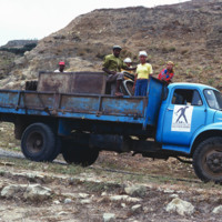
The aluguer that provides service between Nova Sintra and Fajã d'Água. Trucks are used to transport people, goods and livestock between towns.

http://www.ricdigitalcommons.com/Baxter_temp/CV-81-334.jpg
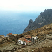
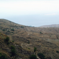
This photograph is taken near the end of a journey from Nova Sintra to Fajã d'Água via aluguer. On the horizon the Ilhéu da Areia can be seen disappearing into the haze. This photograph also gives you a good idea of how jagged and dramatic the…

http://www.ricdigitalcommons.com/Baxter_temp/CV-81-333.jpg
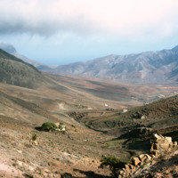
Brava landscape taken in the mist of the elevated tableland that makes up most of the island. This photograph was taken during an overland journey by truck from Nova Sintra to Fajã d'Água.

http://www.ricdigitalcommons.com/Baxter_temp/CV-81-332.jpg
The tableland of Brava is photographed during a journey between Nova Sintra and Fajã d'Água. The high elevation of the islands interior is evidenced by the clouds.

http://www.ricdigitalcommons.com/Baxter_temp/CV-81-331.jpg
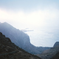
A misty view of the Brava coastline taken from an aluguer during an overland journey from Nova Sintra to Fajã d'Água.

http://www.ricdigitalcommons.com/Baxter_temp/CV-81-329.jpg
Photograph taken during an overland journey between Nova Sintra and Fajã d'Água. Rising into the mist is Monte Fontainhas, at 977 m it is the highest point on Brava.

http://www.ricdigitalcommons.com/Baxter_temp/CV-81-328.jpg
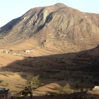
Photo of the dry, central tableland taken during an overland journey from Nova Sintra to Fajã d'Água.

http://www.ricdigitalcommons.com/Baxter_temp/CV-81-327.jpg
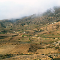
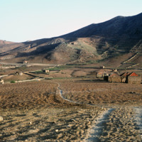
The try tableland of Brava was once green and lush, but a significant drought in the mid-twentieth century has c ontinued to effect the landscape and vegetation of the island. This photo was taken during a journey by aluguer from Nova Sintra to Fajã…

http://www.ricdigitalcommons.com/Baxter_temp/CV-81-326.jpg
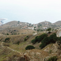
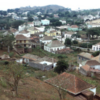
Taken from an aluguer en route to Fajã d'Água, this elevated view of Nova Sintra shows the coastline and some of the volcanic crater that Furna is nestled within. Most of Brava's coastline is made of steep cliff's that rise to a dry tableland, as…

http://www.ricdigitalcommons.com/Baxter_temp/CV-81-325.jpg
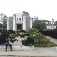
Ingreja do Nazareno, a Protestant church in Nova Sintra, is the oldest church on Brava. It is located near the a town square, or praça, one of seven in this hilly town.

http://www.ricdigitalcommons.com/Baxter_temp/CV-81-324.jpg
Nova Sintra, a community of seven "praças" or squares because of the hilly terrain. Pictured here, one of the squares along with a well and some houses. Many of the streets in Nova Sintra are lined with hibiscus trees and during rainy years the…

http://www.ricdigitalcommons.com/Baxter_temp/CV-81-323.jpg
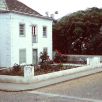
A home in Nova Sintra, a quaint village on Brava that has cobblestone streets lined with hibiscus trees. In years with plenty of rain the village becomes a vibrant world of flowering vegetation.

http://www.ricdigitalcommons.com/Baxter_temp/CV-81-322.jpg
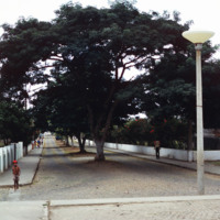
Nova Sintra, a community of seven "praças" or squares because of the hilly terrain. Here a cobblestone street is divided and shaded by large trees. The sides of the roads are lined with Hibiscus trees.

http://www.ricdigitalcommons.com/Baxter_temp/CV-81-321.jpg
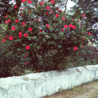
In Nova Sintra many of the streets are lined with hibiscus trees, such as pictured here. During rainy seasons this quaint village is vibrant with vegetation, such as almond trees, jacaranda, blue plumbago and bougainvillaea.

http://www.ricdigitalcommons.com/Baxter_temp/CV-81-320.jpg
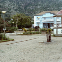
Nova Sintra, a community of seven "praças" or squares because of the hilly terrain. It is named for the Portuguese town of Sintra, and it's structures, whitewash with red tiles, pay tribute to that.

http://www.ricdigitalcommons.com/Baxter_temp/CV-81-319.jpg
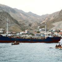
A boat voyage from Fogo to Brava ends at Furna, the main port on Brava. Here passengers and goods disembark via a small boat, a "launcha"; because of Brava's lack of deep water harbor at the time.

Tags: ,

http://www.ricdigitalcommons.com/Baxter_temp/CV-81-318.jpg
View of Furna from the harbor. This photograph was taken from a boat traveling from Fogo to Brava carrying passengers, goods and livestock.

http://www.ricdigitalcommons.com/Baxter_temp/CV-81-317.jpg
Furna, the main port on Brava, is photographed from an approaching boat carrying goods and passengers from Fogo.

http://www.ricdigitalcommons.com/Baxter_temp/CV-81-316.jpg
Photographed from a boat en route to Brava from Fogo is the port town of Furna. Furna lies in an extinct volcano crater, and is the main port for the island.
http://www.ricdigitalcommons.com/Baxter_temp/CV-81-315.jpg
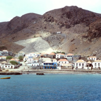
The coastline of Brava is photographed from a boat that has voyaged from Fogo. On the right of the frame you can see the port city of Furna.

http://www.ricdigitalcommons.com/Baxter_temp/CV-81-314.jpg
Unidentified passengers, believed to be friends of David Baxter, on a boat voyage from Fogo to Brava.

http://www.ricdigitalcommons.com/Baxter_temp/CV-81-313.jpg
Photograph taken aboard a boat travelling to Brava from Fogo. On the horizon Brava extends into the clouds. Aboard the boat livestock, goods and passengers mingle together.

http://www.ricdigitalcommons.com/Baxter_temp/CV-81-312.jpg
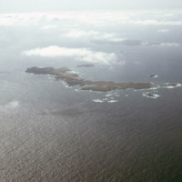
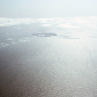
These small islands, located in the southwest quadrant of the archipelago, between Brava and Fogo, were made nature preserves in 1990. The long, narrow island in the foreground of this photo, Ilhéu de Cima, is a breeding ground for the bulwer's…

http://www.ricdigitalcommons.com/Baxter_temp/CV-81-311.jpg
Aerial photograph of the island Fogo and the nearby Ilhéus do Rombo, a group of small islets that have since been declared nature preserves.

http://www.ricdigitalcommons.com/Baxter_temp/CV-81-309.jpg
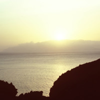
Sunset photographed from an unknown location on Fogo.

Tags:

http://www.ricdigitalcommons.com/Baxter_temp/CV-81-308.jpg
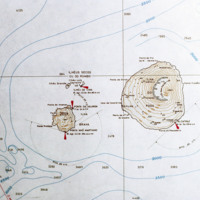
Contour map of the island, Fogo. The island, located in the Cape Verde archipelago, is mostly a large volcano, Pico do Fogo. It is laregly dormant, but has had intermittent eruptions, the last of which occurring in 1995.

http://www.ricdigitalcommons.com/Baxter_temp/CV-81-307.jpg
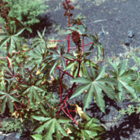
Unknown vegetation growing near Pico do Fogo. Eruptions deposit minerals in the ground that makes the soil extremely fertile.

http://www.ricdigitalcommons.com/Baxter_temp/CV-81-306.jpg
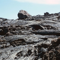
Volcanic rock from recent (as of 1981) lava flows at Pico do Fogo. Since then, this volcano has erupted once in 1995.
http://www.ricdigitalcommons.com/Baxter_temp/CV-81-305.jpg
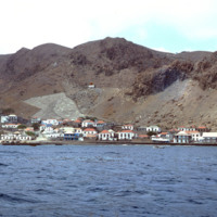
David Baxter's guide to Pico do Fogo, a volcano on Fogo that is mostly dormant but has erupted as recently as 1995.
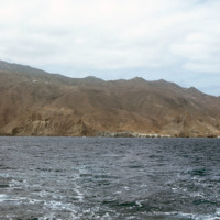
http://www.ricdigitalcommons.com/Baxter_temp/CV-81-304.jpg
David Baxter photographed inside Pico do Fogo, a volcano on the island of Fogo.

http://www.ricdigitalcommons.com/Baxter_temp/CV-81-303.jpg
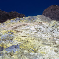
Detail of colorful rocks formed by eruption at Pico do Fogo, a dormant volcano on Fogo that's last eruption was in 1995. This photograph was made in 1981.
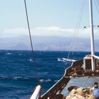
http://www.ricdigitalcommons.com/Baxter_temp/CV-81-300.jpg
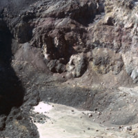
Photograph showing the inside of Pico do Fogo, at the time of this photograph, a dormant volcano. Since 1981 it has had one eruption, in 1995.

http://www.ricdigitalcommons.com/Baxter_temp/CV-81-299.jpg
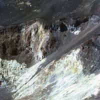
Photograph showing the inside of Pico do Fogo, at the time of this photograph, a dormant volcano. Since 1981 it has had one eruption, in 1995.

http://www.ricdigitalcommons.com/Baxter_temp/CV-81-298.jpg
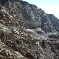
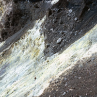
Photograph showing the inside of Pico do Fogo, at the time of this photograph, a dormant volcano. Since 1981 it has had one eruption, in 1995. There is a man in the photograph to give scale to the massive, rocky slope pictured.

http://www.ricdigitalcommons.com/Baxter_temp/CV-81-297.jpg
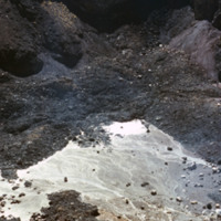
Photograph showing the inside of Pico do Fogo, at the time of this photograph, a dormant volcano. Since 1981 it has had one eruption, in 1995.
Output Formats

atom, dcmes-xml, json, omeka-xml, rss2