Browse Items (1954 total)

http://www.ricdigitalcommons.com/temp/0820.jpg
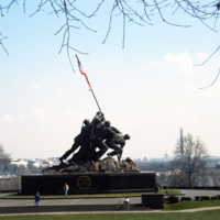
Also called the Iwo Jima memorial, the Marine Corps War Memorial was designed by Felix de Weldon. He was inspired by the photograph Raising the Flag on Iwo Jima taken by Joe Rosenthal during the Battle of iwo Jima. The memorial is dedicated to all…

http://www.ricdigitalcommons.com/temp/0822.jpg
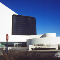
The Presidential Library and Museum of 35th President John Fitzgerald Kennedy was dedicated in 1979, but planning for the library began during Kennedy’s life. He even visited potential locations in October 1963. Kennedy chose Boston as a location…

http://www.ricdigitalcommons.com/temp/0823.jpg
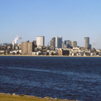
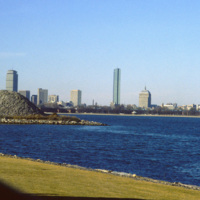
The Boston skyline is photographed from The John F. Kennedy Presidential Library at Columbia Point in this 1987 photograph. In 1963 Kennedy chose Boston as the location of his Presidential Library because he felt the other Presidential Libraries…

http://www.ricdigitalcommons.com/temp/0824.jpg
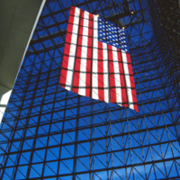
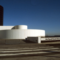
This interior photograph at the John F. Kennedy Presidential Library shows the American flag hanging in a 115 foot grey-glass pavilion. The pavilion stands between a circular section and the 125 foot concrete tower that houses the archives and…

http://www.ricdigitalcommons.com/temp/0825.jpg
Designed by Chinese-American and modernist master architect I. M. Pei, the John F. Kennedy Presidential Library and Museum opened in 1979 after years of set back. It is located in the Dorchester neighborhood of Boston. This photograph shows the…

http://www.ricdigitalcommons.com/temp/0826.jpg
Located on Columbia Point, this is the view of Boston from the John F. Kennedy Presidential Library. Before being redeveloped the site had been a garbage dump. In this view of the Boston skyline are notable skyscrapers (left to right) The Prudential…

http://www.ricdigitalcommons.com/temp/0827.jpg
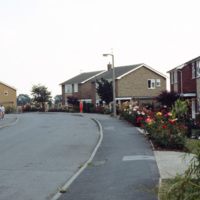
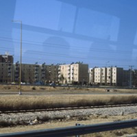
This photograph, taken in the English town of Tickhill, show’s late 20th century suburban developments in this wealthy twelfth century town. This small town has maintained it’s relatively small population, at the 2001 census it was home to 5,301…

http://www.ricdigitalcommons.com/temp/0828.jpg
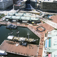
Baltimore’s Inner Harbor photographed in the 1980s. This aerial view shows the Light St. and Pratt St. Pavilions as well as the USS Constellation. The pavilions, developed by James W. Rouse, were part of Baltimore’s revitalization project which…

http://www.ricdigitalcommons.com/temp/0829.jpg
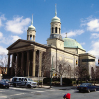
This photograph shows the Basilica of the National Shrine of the Assumption of the Blessed Mary in the 1980s. This image shows the dingy state the building had fallen into by the late 20th century. The building was restored in 2006. The Basilica…

http://www.ricdigitalcommons.com/temp/0834.jpg
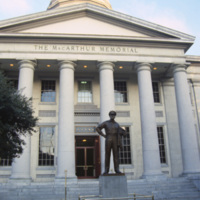
The MacArthur Memorial located in the old city hall at MacArthur Square in Norfolk. The 19th century city hall incorporates architectural elements from both the Greek and Roman revival. It was the site of the formal surrender to the Union Army in…

http://www.ricdigitalcommons.com/temp/0835.jpg
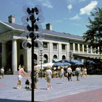
Boston’s Quincy Market, a 19th century marketplace built in the Greek Revival style. It is American architect Alexander Parris’ most famous building, and is made almost entirely of granite from New England. The Quincy Market fell into decline in…

http://www.ricdigitalcommons.com/temp/0836.jpg
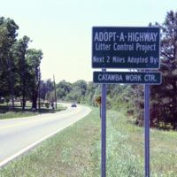
The Adopt a Highway program began in 1985. The program was conceived by James Evans, a engineer at the Texas Department of Transportation, who was inspired after seeing litter fly out of the back of a pickup. This 1990 photograph shows an Adopt a…

http://www.ricdigitalcommons.com/temp/0837.jpg
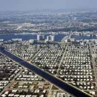
This aerial photograph looks north across Miami. Miami is one of the largest cities in the United States. Running across the photograph is Interstate 95. At frame left just north of the highway is the William's Island Country Club. Also seen is…

http://www.ricdigitalcommons.com/temp/0839.jpg
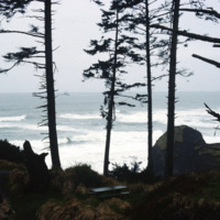
Originally named Ecola for the river that empties, the name of this small Oregon town was changed to Canon Beach in 1922. As of the 2000 census there we 1,588 people living in Canon Beach. It is tourist attraction and popular weekend getaway for…

http://www.ricdigitalcommons.com/temp/0840.jpg
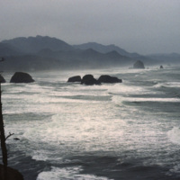
Originally named Ecola for the river that empties, the name of this small Oregon town was changed to Canon Beach in 1922. As of the 2000 census there we 1,588 people living in Canon Beach. It is tourist attraction and popular weekend getaway for…

http://www.ricdigitalcommons.com/temp/0841.jpg
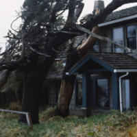
Stormy conditions and harsh winds in the coastal town of Canon Beach have sculpted the tree’s around the houses. This photograph shows the peculiar growth of the trees around a house. (date of photograph has been approximated)

http://www.ricdigitalcommons.com/temp/0846.jpg
Being the second most populated city in Israel, Tel Aviv is home to a population of 404,400. Early architecture composed of single-story European-style buildings with tiled red roofs. The 1920s brought on a different style to homes that were designed…
http://www.ricdigitalcommons.com/temp/0847.jpg
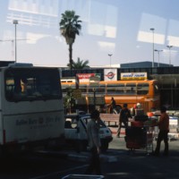
Pictured is the outside of Israel’s major International airport. What separates this airport from others around Europe is that it is open 24 hours, giving customers ease of travel. Within the past decade, the airport has been remodeled, and now…

http://www.ricdigitalcommons.com/temp/0848.jpg
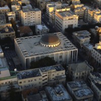
Designed in 1922 by Yehuda Magidovitch, the Great Synagogue in Tel Aviv is located east if the Shalom Tower. The building is made of concrete, glass and steel and consists of one large dome and many stained glass windows. These magnificent windows…
http://www.ricdigitalcommons.com/temp/0849.jpg
Shown in this picture is the Bauhaus architecture of Tel Aviv. This was introduced to the city during the 1920s and 1930s by German architects who moved to Palestine after the Nazi generation expanded. Bauhaus is a German modernist style of…

http://www.ricdigitalcommons.com/temp/0850.jpg
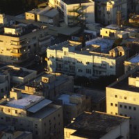
Amongst the dense housing in Tel Aviv, the Shalom Tower can be seen in the center of this image. The tower, also called Migdal Shalom, is considered one of the tallest and most modern buildings in all of Europe and Asia. It stands 142 meters tall and…

http://www.ricdigitalcommons.com/temp/0851.jpg
In this picture, more representations of Bauhaus architecture can be seen. This image was most likely taken in Tel Aviv’s White City, which consists of more than 5,000 of these types of buildings. The fact that Bauhaus architecture focuses mainly on…

http://www.ricdigitalcommons.com/temp/0852.jpg
Tel Aviv has the largest collection of architecture in the International of any city in the world. This photograph is an example of housing built in the Bauhaus style, a style developed in pre-Nazi Germany. Because of the climate in Tel Aviv, the…
http://www.ricdigitalcommons.com/temp/0855.jpg
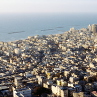
Photographed from one of the many hotels along Retsif Herbert Samuel, the beaches in Tel Aviv are one of the cities main tourist attractions. The beaches are ranked amongst the best in the world, attracting visitors and locals alike and playing a…
http://www.ricdigitalcommons.com/temp/0856.jpg
This photograph (1 of 6) shows the Tel Aviv beach, a major economic asset to the city, which was realized as early as the 1920s. Also pictured is the dense development of architecture in the International and Bauhaus style that have become the image…
http://www.ricdigitalcommons.com/temp/0857.jpg
Tel Aviv quickly earned the nickname the White City, and from this photograph (2 of 6) it’s easy to see where it came from. The city’s architecture is overwhelmingly in the International and Bauhaus style. The architecture is designed to favor…
http://www.ricdigitalcommons.com/temp/0959.jpg
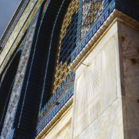
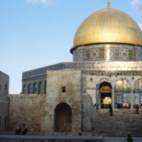
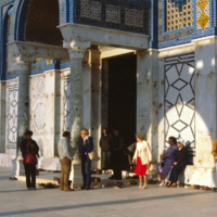
This 1980 photograph shows the facade of the outer wall at the Dome of the Rock. The mosaic design is significant in that it does not contain any representational imagery. The Dome of the Rock introduced decorative principles that heavily influenced…

http://www.ricdigitalcommons.com/temp/0858.jpg
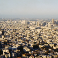
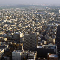
This aerial image of Tel Aviv shows some structures of note, including the Tel Aviv City Hall at Rabin Square (far left) and the former I.B.M. Building on Weizmann Street (far right), designed by Yasky & Partners. Tel Aviv quickly earned the…
http://www.ricdigitalcommons.com/temp/0958.jpg
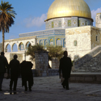
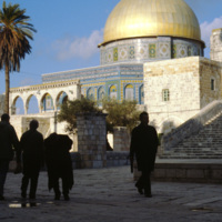
The Dome of the Rock was built to rival the splendor of Christian and Judaic architecture of the time. It’s dome is 20 m wide and consists of two wooden shells supported by a drum 16 m in height. The building uses design elements from Christian…

http://www.ricdigitalcommons.com/temp/0957.jpg
The Dome of the Rock was the first artistic endeavor of the Umayyads, and is the earliest surviving example of an Islamic monument. The architecture was meant to rival the splenduer of contemporary Christian and Judaic architecture. The building’s…

http://www.ricdigitalcommons.com/temp/0954.jpg
The Dome of the Rock is the earliest remaining Islamic monument. It is constructed on an artificial platform, has a dome measuring 20 meters in diameter, and a exterior richly decorated in mosaic. The shape of the building is octagonal. It was built…

http://www.ricdigitalcommons.com/temp/0859.jpg
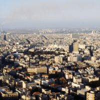
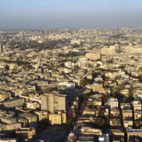
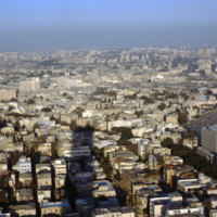
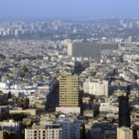
This image shows the urban density of Tel Aviv, Israel’s primary city. At the extreme left, peaking over the horizon, is the former I.B.M building, designed by Yasky & Partners in the 1970s. Quite literally in the shadow of the I.B.M. Building…

http://www.ricdigitalcommons.com/temp/0954.jpg
The Dome of the Rock is the earliest remaining Islamic monument. It is constructed on an artificial platform, has a dome measuring 20 meters in diameter, and a exterior richly decorated in mosaic. The shape of the building is octagonal. It was built…

http://www.ricdigitalcommons.com/temp/0948.jpg
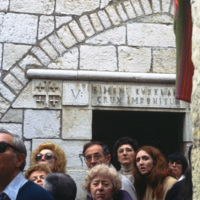
The stations of the cross were codified by Leonardo of Porto Maurizo, a Franciscan, who established the fourteen stations along Christs walk with the cross. This photograph is of the fifth station, as represented in the Via Dolorosa in Jerusalem. …

http://www.ricdigitalcommons.com/temp/0861.jpg
Tel Aviv quickly earned the nickname the White City, and from this photograph (5 of 6) it’s easy to see where it came from. The city’s architecture is overwhelmingly in the International and Bauhaus style. The architecture is designed to favor…
http://www.ricdigitalcommons.com/temp/0940.jpg
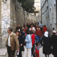
This photograph is taken on the Via Dolorosa, a street in Jerusalem which is believed a section of the path Jesus walked on his way to his crucifixion. Traditionally it is the route from Pilate’s house to Golgotha, and there is a long tradition of…

http://www.ricdigitalcommons.com/temp/0862.jpg
Tel Aviv quickly earned the nickname the White City, and from this photograph (5 of 6) it’s easy to see where it came from. The city’s architecture is overwhelmingly in the International and Bauhaus style. The architecture is designed to favor…

http://www.ricdigitalcommons.com/temp/0935.jpg
This photograph shows the North East section of the Eastern Wall in Jerusalem. At the left is the Golden Gate, dating from the 7th century AD. The Golden Gate is significant in the Jewish, Christian, and Muslim traditions. At the left of the…

http://www.ricdigitalcommons.com/temp/0863.jpg
This photograph shows Metzudat Ze’ev, an office building in Tel Aviv named for Vladimir Jabotinsky. Jabotinksy was a leader of the right-wing, anti-socialist movement within Zionism. Jabotinsky argued that the future of the Jewish state depended on…

http://www.ricdigitalcommons.com/temp/0933.jpg
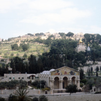
The Basilica of the Agony was designed by Italian architect Antonio Barluzzi. It is also known as the Church of All Nations because the construction of the church was funded through donations collected from many countries. Each of the donating…

http://www.ricdigitalcommons.com/temp/0864.jpg
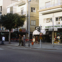
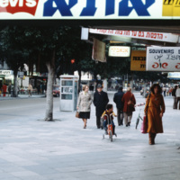
Dizengoff Street, named for Meir Dizengoff, the first mayor of Tel Aviv, is the home for designer shops and leisure in Tel Aviv. Since the 1970s the street has seen some decline, but continues to be a destination for those seeking designer fashions…

http://www.ricdigitalcommons.com/temp/0932.jpg
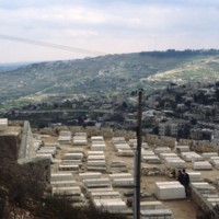
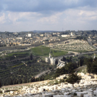
The Jewish Cemetary on the Mount of Olives has been active for over 2000 years. The site is desirable for those of Jewish faith as a Bible verse (Zech. 14:4) claims that the resurrection will begin here when the messiah arrives. The Mount of Olives…

http://www.ricdigitalcommons.com/temp/0865.jpg
Named for Mei Dizengoff, former Mayor of Tel Aviv, Dizengoff Street was once a shopping destination for locals and tourists alike. The construction of the Dizengoff Center, a shoppoing mall, has been cited a sa reason for the areas commercial…

http://www.ricdigitalcommons.com/temp/0866.jpg
This photograph was taken at 99 Dizengoff St. in 1980. The film 99 Dizengoff had just been released the year before which perhaps prompted the taking of this photograph at this particular address. Also pictured are some of the retail clothing shops…

http://www.ricdigitalcommons.com/temp/0867.jpg
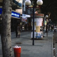
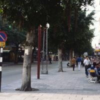
This photograph shows the cafe culture and wide sidewalks that once lead people to compare Dizengoff Street to Champs-Elysees. Since the 1970s commercial activity on the street has declined, perhaps due to the construction of the Dizengoff Center, an…

http://www.ricdigitalcommons.com/temp/0870.jpg
Named after the city’s first mayor, Meir Dizengoff, the Dizengoff Center was Israel’s first mall. The building was built by the architect Mordechai Ben-Horin starting in 1972. It has since been completed in 1983, but the first store opening was in…

http://www.ricdigitalcommons.com/temp/0871.jpg
Seen in this picture is the large number of people that have come to enjoy the many retail offerings of the Dizengoff Center. With its 420 stores, the center welcomes around 20,000 people on weekdays and an estimated 45,000 people on Fridays. The…

http://www.ricdigitalcommons.com/temp/0872.jpg
The International style dominates residential structures in Tel Aviv developed between the 1920s and 1960s. Patrick Geddes, at the request of Mayor Dizengoff, drafted a plan for the city that was adjusted for the comfort of the pedestrian. This…

http://www.ricdigitalcommons.com/temp/0873.jpg
The Geddes Plan, which drew influence from the garden city movement, is illustrated in this photograph of a residential street in Tel Aviv. Drafted in 1926 and put into effect in 1927, the plan favoured the city dweller, regulating everything from…

http://www.ricdigitalcommons.com/temp/0874.jpg
Built by Ya’akov Rechter between the years of 1971 and 1975, Atarim Square was meant to be a recreation and leisure center. The square is nestled between the Tel Aviv Marina, seen clearly in this photo, and Gordon swimming pool. In the lower levels,…
Output Formats

atom, dcmes-xml, json, omeka-xml, rss2