Browse Items (993 total)

  • Collection: Chester Smolski Photographs

http://www.ricdigitalcommons.com/temp/0583.jpg
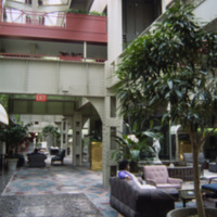
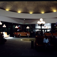
Interior photograph of the Crowne Plaza Hotel at Indianapolis Union Station. The hotel is located in the train shed which was completed in 1915. Following World War II the station saw rapidly declining numbers in passanger service fell increasing to…

http://www.ricdigitalcommons.com/temp/0588.jpg
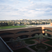
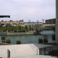
Indiana Avenue Apartments photographed from University Place Hotel at IUPUI campus in Indianapolis. The Indiana Avenue Apartments are public housing managed by the Indianapolis Housing Agency (IHA).

http://www.ricdigitalcommons.com/temp/0586.jpg
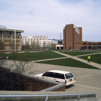
This photograph shows the integration of Indiana University-Purdue University Indianapolis campus with the University Place Hotel in downtown Indianapolis. Cavanaugh Hall, at frame left, is home of Indiana University’s School of Liberal Arts. Between…

http://www.ricdigitalcommons.com/temp/0575.jpg
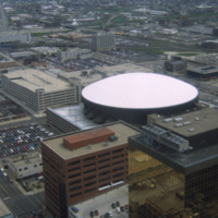
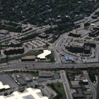
This is an aerial shot of Market Square Arena in Indianapolis, Indiana in the early 1990s. The arena was completed in 1974, closed in 1999, and demolished in 2001. It was Indiana's primary concert venue until its demolition, hosting acts such as…

http://www.ricdigitalcommons.com/temp/0582.jpg
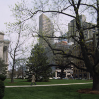
Photographed from the lawn of the Indian State Capitol is the One America Building, the state’s tallest building from 1982 to 1990 when it was surpassed by the Chase Tower. At the left of the photograph is an example of the Neoclassical facade of the…

http://www.ricdigitalcommons.com/temp/0580.jpg
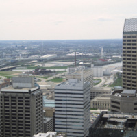
This photograph is believed to be taken from the Chase Tower. Completed in 1990, the Chase Tower (at the time known as the Bank One Tower), at 830 feet, surpassed the One America Tower (pictured, left) as the tallest building in the state. The One…

http://www.ricdigitalcommons.com/temp/0579.jpg
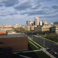
The Indianapolis skyline as seen from Indiana University - Purdue University Indianapolis. The campus serves both universities as an urban campus in Indianapolis. This photo was likely taken from University Place Hotel and shows the IUPUI conference…

http://www.ricdigitalcommons.com/temp/0587.jpg
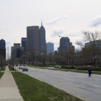
This east facing view down W New York St. shows the Indianapolis’ skyline rising up from the flat midwestern landscape. The state’s two tallest buildings, the Chase Tower and the One America Tower are pictured in the center.

http://www.ricdigitalcommons.com/temp/0585.jpg
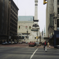
The Soldiers’ and Sailors’ monument was designed by Bruno Schmitz, a German architect, for the city of Indianapolis. The building houses a basement Civil War Museum. There is an observation deck at the top that can be reached by climbing 330 stairs,…

http://www.ricdigitalcommons.com/temp/0576.jpg
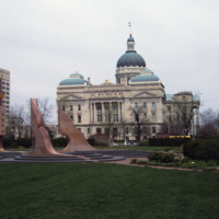
The Indiana State House is the fourth structure to house the Indiana government, and has been the current State House since 1887, a year before the buildings formal completion. Designed by Edwin May in 1878, the building utilizes an extended Greek…

http://www.ricdigitalcommons.com/temp/0577.jpg
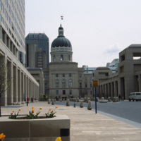
Viewed from the south side, this photograph of Indiana’s State House shows the Italian Renaissance style dome and Neoclassical facade that makes this building one of the finest example of Neoclassical architecture in the state. The building was…
http://www.ricdigitalcommons.com/temp/0581.jpg
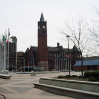
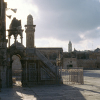
Thomas Rodd’s design of Indianapolis Union Station shows influence of noted architect Henry Hobson Richardson. Also shown here is the Pan American Plaza, built in 1987 to commemorate the Pan American Games held in town. The Union Station still serves…

http://www.ricdigitalcommons.com/temp/0584.jpg
Indianapolis’ White River State Park was built around the site of the Central Canal, a failed canal venture from the early nineteenth century. Since the restoration in the 1980s, the park has become the cultural center of the city and is considered…

http://www.ricdigitalcommons.com/temp/0578.jpg
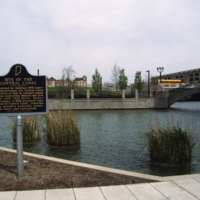
This photograph shows the site of the Central Canal, a proposed 296 mile canal that was to connect Peru to Evansville where it would then meet the Ohio River.The canal was aborted after the state fell into bankruptcy in 1939. This 1993 photograph…

http://www.ricdigitalcommons.com/temp/5154.jpg
Designed by Marilyn Jordan Taylor of Skidmore, Owings and Merrill, LLC, this is a typical SOM interior where all materials are falsified. The domed interior brings a sense of polite space to the public that finds its origins in the Pantheon and domed…

http://www.ricdigitalcommons.com/temp/5244.jpg
Interstate 95 is the longest Interstate in Rhode Island. It was completed fully in 1972 and is the main highway that serves Providence. It was constructed first in Kent County and next in Providence and Pawtucket. It was finished in 1972 by…

http://www.ricdigitalcommons.com/temp/1172.jpg
Know as the “Inverted Pyramid Pier” by local St. Petersburg residents, this famous pier was constructed in 1973 as a landmark of the city’s downtown waterfront area. This pier replaced the 1926 Million Dollar Pier which was torn down to make way for…

http://www.ricdigitalcommons.com/temp/0799.jpg
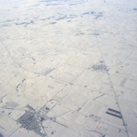
This aerial photograph shows patterns made by roads and farm land in the Iowan landscape during the winter.

Tags:

http://www.ricdigitalcommons.com/temp/1219.jpg
The taller building in the foreground, and located right behind the Cathedral of the Annunciation, is the Ivan The Great Bell Tower. The Bell-Tower was built in 1505-1508 by Italian architect Bon Fryazin. A century later another arcade for bells was…

http://www.ricdigitalcommons.com/temp/0456.jpg
The Marine Corps War Memorial stands as a symbol of this grateful Nation's esteem for the honored dead of the U.S. Marine Corps. While the statue depicts one of the most famous incidents of World War II, the memorial is dedicated to all Marines who…

http://www.ricdigitalcommons.com/temp/1049.jpg
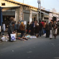
The Jaffa Flea Market is located between Yefet Street and Jerusalem Boulevard. It is heavily populated with people Sunday through Friday and offers a wide variety of goods to be purchased. These goods include a large selection of jewelry and oriental…

http://www.ricdigitalcommons.com/temp/0883.jpg
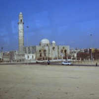
This Ottoman style mosque was built in 1916 by Hasan Bek, the governor of Jaffa at the time. Ottoman style of architechture flourished from the 1550s to about 1700. Certain elements typical of the style include its use of ornamental patterns of…

http://www.ricdigitalcommons.com/temp/0914.jpg
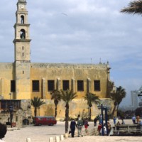
St. Peter’s church was built over a medieval citadel in the seventeenth century, but has been destroyed twice since. The present structure was completed in 1894. It is a historically notable structure. Built on a hill, the building is visible from…

http://www.ricdigitalcommons.com/temp/5265.jpg
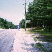
  Marker indicating height of Jerimoth Hill at 812 ft. above sea level. Having private previous owners, the summit was once the most limitedly available state high point only open 5 times a year. In more recent years, the site has become available to…

http://www.ricdigitalcommons.com/temp/0980.jpg
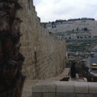
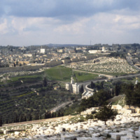
This photo was taken from the southeast end of the Eastern Wall looking towards Mount of Olives. The hill is located on the eastern side of Kidron creek and overlooks the old city of Jerusalem. This hill is considered holy ground due to the fact…

http://www.ricdigitalcommons.com/temp/0966.jpg
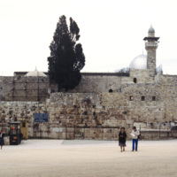
Al’Aqsa, which translates to ‘the furthest’, is one of the oldest mosques on earth. It is located next to the Dome of the Rock, and was first completed in 702. It was rebuilt completely in 780, and alterations have continued over the last…

http://www.ricdigitalcommons.com/temp/0960.jpg
Al’Aqsa Mosque translates to, “the furthest mosque.” First built in 702, and rebuilt again in 780, this mosque in Jerusalem reused parts from a Justinian period church. Since it’s being rebuilt in 780, it has undergone many alterations. This…

http://www.ricdigitalcommons.com/temp/0933.jpg
The Basilica of the Agony was designed by Italian architect Antonio Barluzzi. It is also known as the Church of All Nations because the construction of the church was funded through donations collected from many countries. Each of the donating…

http://www.ricdigitalcommons.com/temp/1004.jpg
Originally constructed during the rule of Emperor Constantine, The Church of the Holy Sepulchre was built as one of a number of memorial structures intended to, “enshrine places or objects associated with Gospel episodes or other hallowed events.”…

http://www.ricdigitalcommons.com/temp/1017.jpg
Seen in the distance of this photo is the Church of the Holy Sepulcher. After surviving much destruction and repair, the church stands presently in Jerusalem. It was built to commemorate the hill of crucifixion and Christ’s tomb. The church itself is…

http://www.ricdigitalcommons.com/temp/1005.jpg
Also known as the Church of the Resurrection, the Church of the Holy Sepulchre is a church built on a site venerated to be Golgotha. It was built in the third century under the rule of Constatntine at the site of Christ’s crucifixion and entombment.…

http://www.ricdigitalcommons.com/temp/1006.jpg
The interior design of the Church of the Holy Sepulchre is a rhythmic sequence of light and less light designed to illicit emotional climaxes from visitors. The floor plan is based normal Roman house and palace design, the church progresses from…

http://www.ricdigitalcommons.com/temp/1034.jpg
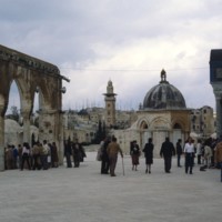
Directly 22 meters northwest of the Dome of Rock on its platform lies the Dome of the Ascension (seen in the center of this picture). Originally a Crusader baptismal, this 6 meter wide dome was rebuilt as a Muslim shrine in 1200. To the left of this…

http://www.ricdigitalcommons.com/temp/0958.jpg
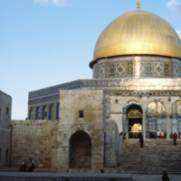
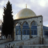
The Dome of the Rock was built to rival the splendor of Christian and Judaic architecture of the time. It’s dome is 20 m wide and consists of two wooden shells supported by a drum 16 m in height. The building uses design elements from Christian…
http://www.ricdigitalcommons.com/temp/0954.jpg
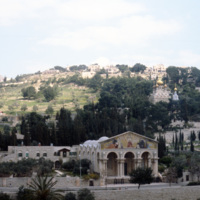
The Dome of the Rock is the earliest remaining Islamic monument. It is constructed on an artificial platform, has a dome measuring 20 meters in diameter, and a exterior richly decorated in mosaic. The shape of the building is octagonal. It was built…

http://www.ricdigitalcommons.com/temp/0954.jpg
The Dome of the Rock is the earliest remaining Islamic monument. It is constructed on an artificial platform, has a dome measuring 20 meters in diameter, and a exterior richly decorated in mosaic. The shape of the building is octagonal. It was built…

http://www.ricdigitalcommons.com/temp/0961.jpg
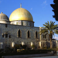
The Dome of the Rock, built over the Foundation Stone, is the oldest remaining Muslim monument. It has been meticulously maintained over the last 1400 years. The dome, spanning almost 20 m, had to be refitted with new ribs to support it after the…

http://www.ricdigitalcommons.com/temp/0962.jpg
The building is the earliest remaining Islamic monument. It is constructed on an artificial platform, has a 20 m dome, and richly decorated with mosaic. The shape of the building is octagonal. It was built by the Umayyad dynasty, in part to complete…

http://www.ricdigitalcommons.com/temp/0964.jpg
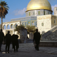
The exterior of the Dome of the Rock, adorned with both marble and mosaic, was covered during the Ottoman Empire in, “magnificent Turkish tiles” (Ettinghausen, 16). In this photograph, which shows the Temple Mount, on which the building is located,…

http://www.ricdigitalcommons.com/temp/0957.jpg
The Dome of the Rock was the first artistic endeavor of the Umayyads, and is the earliest surviving example of an Islamic monument. The architecture was meant to rival the splenduer of contemporary Christian and Judaic architecture. The building’s…
http://www.ricdigitalcommons.com/temp/0959.jpg
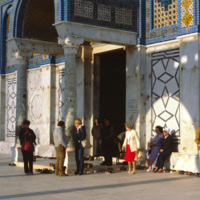
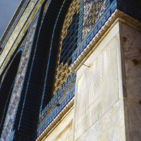
This 1980 photograph shows the facade of the outer wall at the Dome of the Rock. The mosaic design is significant in that it does not contain any representational imagery. The Dome of the Rock introduced decorative principles that heavily influenced…

http://www.ricdigitalcommons.com/temp/0983.jpg
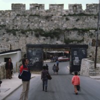
The Dung Gate is one of the nine gates to the Old City in Jerusalem. It gains its name from the fact that it was the gate used to take trash out of the city to be disposed of in the Kidron Valley. It is seen here as heavily populated with pedestrians…

http://www.ricdigitalcommons.com/temp/0935.jpg
This photograph shows the North East section of the Eastern Wall in Jerusalem. At the left is the Golden Gate, dating from the 7th century AD. The Golden Gate is significant in the Jewish, Christian, and Muslim traditions. At the left of the…

http://www.ricdigitalcommons.com/temp/0978.jpg
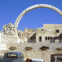
The Hurva Synagogue ruin, photographed in 1980. The synagogue was proposed in the 1840s and built between 1854 and 1864. When it was dedicated in 1864 the name given was, “Beth Ya’akov”, but it’s place on the ruins, hurva, of the old synagogue…

http://www.ricdigitalcommons.com/temp/0993.jpg
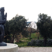
This photograph shows an unidentified outdoor sculpture at the Israel Museum. In the background the unique dome of the the Shrine of the Book peaks between the foliage.

http://www.ricdigitalcommons.com/temp/0997.jpg
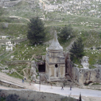
Originally this tomb has been ascribed to Absalom, the son of King David of Israel. Recent studies however point to it’s construction being sometime in the first century AD. A recent deciphering of a fourht century inscription suggests that the…

http://www.ricdigitalcommons.com/temp/1051.jpg
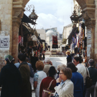
The Mount of Olives is a mountainside in Jerusalem covered in a combination of magnificent architecture and stones. Among the various highlights of the Mount are the Church of Mary Magdalene, the Garden of Gethsemane, the Basilica of the Agony, and…
http://www.ricdigitalcommons.com/temp/0975.jpg
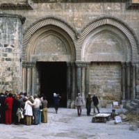
This photograph looks toward the New City district of Jerusalem. In contrast to the historical and religiously significant architecture of the old city, the New City’s skyline is ripe with modernist architecture and skyscrapers in the international…
http://www.ricdigitalcommons.com/temp/0981.jpg
The Dung Gate is located on the south wall in relation to the Temple Mount. This picture was taken at the gate looking in towards the New City.
http://www.ricdigitalcommons.com/temp/0976.jpg
Old City Jerusalem has a complex network of narrow alleyways. This photograph from 1980 shows repair work in one of the alley ways which have remained relatively unchanged for millennia.
Output Formats

atom, dcmes-xml, json, omeka-xml, rss2