Browse Items (657 total)

  • Collection: Baxter Collection of Images of Cape Verde

http://www.ricdigitalcommons.com/Baxter_temp/CV-81-182.jpg
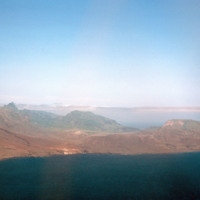
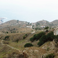
Aerial view of the coastline of São Nicolau. The green tops of the mountains provide a hint to the lush land behind them. The island has some of the most fertile land in the archipelago.

http://www.ricdigitalcommons.com/Baxter_temp/CV-81-120.jpg
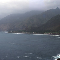
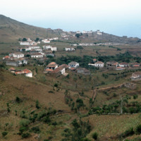
A view of a bay and seaside settlements. The mountains begin rising directly from the ocean and crest in foggy peaks. The mountains appear to have black soil because much of the land is made up of volcanic rock.
http://www.ricdigitalcommons.com/Baxter_temp/CV-81-091.jpg
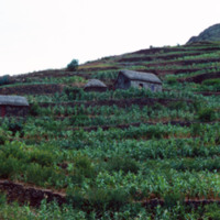
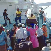
Another example of mountainside farming. The island is fertile and once produced maize and beans not only for their own use, but for export. Today, due to the 1940's famine and landowner's turning large parts of the land to sugar cane growth, the…

http://www.ricdigitalcommons.com/Baxter_temp/CV-88-067.jpg
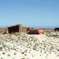
A mule used by fishermen stands on a rocky beach next to shelter.

http://www.ricdigitalcommons.com/Baxter_temp/CV-81-365.jpg
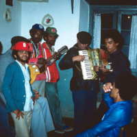
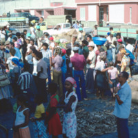
Musicians and fellow party attendees at a 'despidida,' that is, a farewell party for someone leaving Cape Verde.

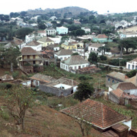
http://www.ricdigitalcommons.com/Baxter_temp/CV-83-034.jpg
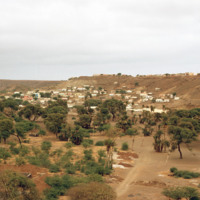
An inland view of an unidentified neighborhood in Praia, the capital of Cape Verde. During the day the downtown area is a bustling business center, but at night merchants and workers retire to the communities scattered in the neighboring plains, such…

http://www.ricdigitalcommons.com/Baxter_temp/CV-89-033.jpg
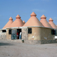
A new construction. possibly a school, designed by a German geologist/engineer, Matias Heine. He is well known as a foreigner who tried to help Cape Verde, mainly in Boa Vista an Maio. These structures are literally "concretized" in a traditional…

http://www.ricdigitalcommons.com/Baxter_temp/CV-81-110.jpg
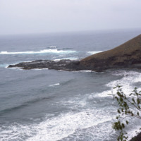
This stormy view of the northeastern coast of Santo Antão shows the high winds and heavy surf that constantly belts this region of the island. The photo is taken from a coastal road that connects Ribeira Grande to Paúl.

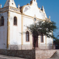
http://www.ricdigitalcommons.com/Baxter_temp/CV-89-025.jpg
Nossa Senhora da Luz is an 18th century Baroque-style church that is the architectural focal point of Vila do Maio. This church was completed in 1872.

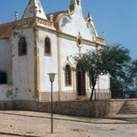
http://www.ricdigitalcommons.com/Baxter_temp/CV-89-027.jpg
A three quarter view of this 19th century Baroque style church at Vila do Maio.

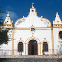
http://www.ricdigitalcommons.com/Baxter_temp/CV-89-026.jpg
A view of the facade of Nossa Senhora da Luz, a 19th century Baroque-style cathedral that is at the center of Vila do Maio.

http://www.ricdigitalcommons.com/Baxter_temp/CV-81-320.jpg
Nova Sintra, a community of seven "praças" or squares because of the hilly terrain. It is named for the Portuguese town of Sintra, and it's structures, whitewash with red tiles, pay tribute to that.

http://www.ricdigitalcommons.com/Baxter_temp/CV-81-326.jpg
Taken from an aluguer en route to Fajã d'Água, this elevated view of Nova Sintra shows the coastline and some of the volcanic crater that Furna is nestled within. Most of Brava's coastline is made of steep cliff's that rise to a dry tableland, as…

http://www.ricdigitalcommons.com/Baxter_temp/CV-81-362.jpg
An elevated, distant view of Nova Sintra, including a stone walled cemetery. Because of the hilly terrain, this village is split into seven separate town squares. It is the main town on Brava.

http://www.ricdigitalcommons.com/Baxter_temp/CV-88-003.jpg
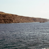
Taken on the North Atlantic Ocean, this photo includes a small sailboat in the distance and some rocky mountains of Sal Rei in the distance.

http://www.ricdigitalcommons.com/Baxter_temp/CV-81-081.jpg
The ferry "Porto Novo" docks and unloads in Porto Novo after carrying passengers and cargo from São Vicente.

http://www.ricdigitalcommons.com/Baxter_temp/CV-81-082.jpg
The ferry "Porto Novo" docks and unloads in Porto Novo after carrying passengers and cargo from São Vicente.

http://www.ricdigitalcommons.com/Baxter_temp/CV-81-083.jpg
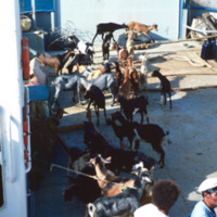
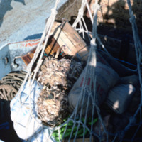
Cargo aboard the ferry "Porto Novo" is offloaded at Porto Novo on São Antão. The ferry connects São Vicente and Santo Antão with daily service for cargo and passengers.

http://www.ricdigitalcommons.com/Baxter_temp/CV-81-283.jpg
Photographed offshore, the island of Fogo. The island is mostly a volcano, Pico do Fogo, which is still active, it's last eruption occurring in 1995.

http://www.ricdigitalcommons.com/Baxter_temp/CV-88-007.jpg
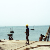
Taken from the Port of Sal Rei, this photo shows, including an unidentified dockworker with a hardhat and a docked vessel to the right.

http://www.ricdigitalcommons.com/Baxter_temp/CV-85-049.jpg
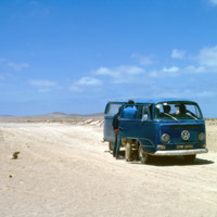
Journey in a Volkswagon minibus across the arid interior of Boa Vista on the way to Praia Curralhino, also known as Praia Santa Monica. Note that despite extreme drought conditions, there is a presence of goats, donkeys and the occasional bovine.…

http://www.ricdigitalcommons.com/Baxter_temp/CV-88-070.jpg
On the road returning to Sal Rei, David Baxter snaps a photo of one of the more mountainous areas on Boa Vista.

http://www.ricdigitalcommons.com/Baxter_temp/CV-88-071.jpg
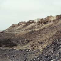
A village on higher ground on the road to Sal Rei.

http://www.ricdigitalcommons.com/Baxter_temp/CV-88-072.jpg
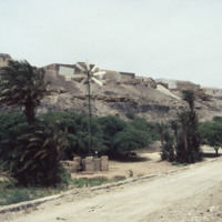
A windmill provides energy for a village along the road that leads back to Sal Rei.
http://www.ricdigitalcommons.com/Baxter_temp/CV-88-073.jpg
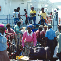
Flora alongside a road to Sal Rei.

http://www.ricdigitalcommons.com/Baxter_temp/CV-88-074.jpg
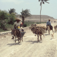
David Baxter passes by four men with donkeys and a dog on the road to Sal Rei.

http://www.ricdigitalcommons.com/Baxter_temp/CV-88-075.jpg
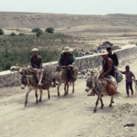
Men and children on donkeys stop to rest on the road that leads to Sal Rei.

http://www.ricdigitalcommons.com/Baxter_temp/CV-88-076.jpg
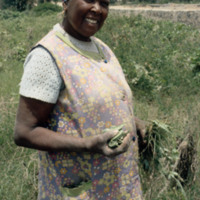
A woman displays flora alongside the road that leads to Sal Rei. A village can be seen on higher ground in the background.

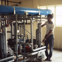
http://www.ricdigitalcommons.com/Baxter_temp/CV-88-049.jpg
An unidentified man works in a desalination plant.

The Danish government built this desalination plant in Cape Verde just prior to this 1988 photograph

Natural fresh water sources are few to nonexistent in many islands of Cape Verde. Therefore,…

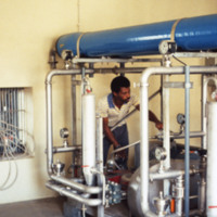
http://www.ricdigitalcommons.com/Baxter_temp/CV-88-050.jpg
An unidentified man works in a desalination plant.

The Danish government built this desalination plant in Cape Verde just prior to this 1988 photograph.

Natural fresh water sources are few to nonexistent in many islands of Cape Verde.…

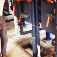
http://www.ricdigitalcommons.com/Baxter_temp/CV-88-044.jpg
An unidentified man operates a lever on one of the machines of the desalination plant.

This plant utilizes reverse osmosis to convert ocean water into viable, drinking water for the community. Osmosis requires a semi permeable membrane separating…

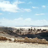
http://www.ricdigitalcommons.com/Baxter_temp/CV-85-050.jpg
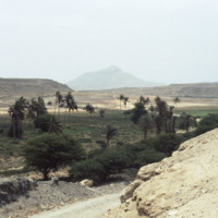
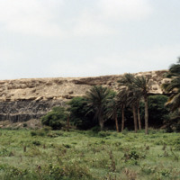
Palm trees and crumbling wall as seen on a journey across the very arid interior of Boa Vista on the way to Praia Curralhino, also known as Praia Santa Monica. Note that despite extreme drought conditions, there is a presence of goats, donkeys and…

http://www.ricdigitalcommons.com/Baxter_temp/CV-88-089.jpg
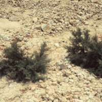
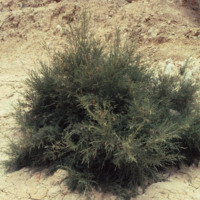
This photograph captures the area's parched terrain as well as local flora that have adapted to these extreme environmental conditions.

http://www.ricdigitalcommons.com/Baxter_temp/CV-88-090.jpg
This photograph captures the area's parched terrain as well as local flora that have adapted to these extreme environmental conditions.

http://www.ricdigitalcommons.com/Baxter_temp/CV-88-091.jpg
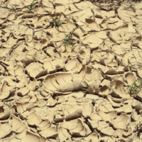
Here is a close up of parched terrain in Boa Vista. Small adapted flora can bee seen peaking through the cracks of the ground.

http://www.ricdigitalcommons.com/Baxter_temp/CV-81-217.jpg
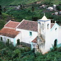
Nestled in the lush region of Ribera Brava is this small parish church. The church was built with a Baroque simplified appearance and has a tiled roof with a single tower.

http://www.ricdigitalcommons.com/Baxter_temp/CV-85-059.jpg
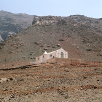
This photo shows just how desolate and barren the town of João Galego is. Resting in the dry desert climate where there is little to no rain, the town is considered one of the island's poorest. What appears to be the parish of João Galego is featured…

http://www.ricdigitalcommons.com/Baxter_temp/CV-81-060.jpg
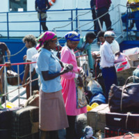
Passengers board "Porto Novo" in Mindelo for ferry service to São Antão. For years the "Porto Novo" was the lifeline between the two islands, providing daily service, but the ship has since been retired.

http://www.ricdigitalcommons.com/Baxter_temp/CV-81-061.jpg
Passengers board "Porto Novo" in Mindelo for ferry service to São Antão. For years the "Porto Novo" was the lifeline between the two islands, providing daily service, but the ship has since been retired.

http://www.ricdigitalcommons.com/Baxter_temp/CV-81-062.jpg
Passengers board "Porto Novo" in Mindelo for ferry service to São Antão. For years the "Porto Novo" was the lifeline between the two islands, providing daily service, but the ship has since been retired.

http://www.ricdigitalcommons.com/Baxter_temp/CV-81-314.jpg
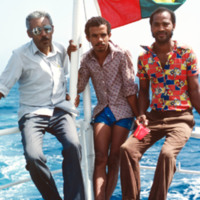
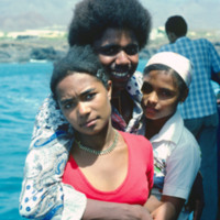
Unidentified passengers, believed to be friends of David Baxter, on a boat voyage from Fogo to Brava.

http://www.ricdigitalcommons.com/Baxter_temp/CV-81-067.jpg
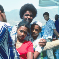
Unidentified passengers pose for a photo onboard "Porto Novo," a ferry that ran daily service between São Vicente and Santo Antão. The ship has since been retired.

http://www.ricdigitalcommons.com/Baxter_temp/CV-81-068.jpg
Unidentified passengers pose for a photo onboard "Porto Novo," a ferry that ran daily service between São Vicente and Santo Antão. The ship has since been retired.

http://www.ricdigitalcommons.com/Baxter_temp/CV-81-126.jpg
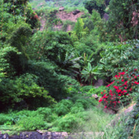
Example of Paùl's luxurious landscape. While most of the island suffers from drought, Paùl enjoys a subtropical climate with rich forests. Here you can see the evidence of the volcanic origins in the high steep mountains.

http://www.ricdigitalcommons.com/Baxter_temp/CV-81-122.jpg
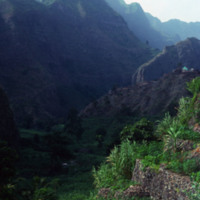
The peaks lining the Ribeira do Paùl. It shows terraces built into the side of the mountains. This area is often compared to the landscape of Hawaii. It is very green and the land is composed of a good deal of volcanic residue. Volcanic dust is…

http://www.ricdigitalcommons.com/Baxter_temp/CV-85-035.jpg
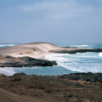
Boa Vista is a large, relatively flat island of dunes and oases. Its rocky and shallow coastline has been cruel to sailors and has caused many shipwrecks. This photograph of Praia de Crabral, a beach located about two miles from the town Sal Rei,…

http://www.ricdigitalcommons.com/Baxter_temp/CV-81-288.jpg
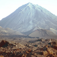
The Pico de Fogo is the area of highest elevation on the island of Fogo. This active volcano stands 1,200 meters high. Before this picture was taken, the volcano had erupted twice; once in 1675, and again in 1847. Since then, it has erupted once in…

http://www.ricdigitalcommons.com/Baxter_temp/CV-81-287.jpg
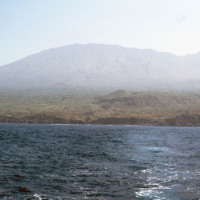
Pico do Fogo, the highest point in Cape Verde, and most of the island Fogo, photographed here from offshore.

http://www.ricdigitalcommons.com/Baxter_temp/CV-81-290.jpg
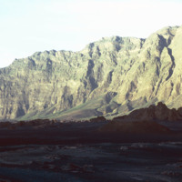
The steep slope of Pico do Fogo seen from the shadowy crater below. Pico do Fogo is an active volcano, it's last eruption was in 1995 which destroyed the village of Boca Fonte.

http://www.ricdigitalcommons.com/Baxter_temp/CV-81-291.jpg
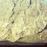
The slope of Pico do Fogo seen from the shadowy crater below. The voclano is still active, last erupting in 1995, an event which destroyed the nearby village of Boca Fonte and created a new peak, known simply as the 1995 peak. The Pico, standing at…
Output Formats

atom, dcmes-xml, json, omeka-xml, rss2