Browse Items (657 total)

  • Collection: Baxter Collection of Images of Cape Verde

http://www.ricdigitalcommons.com/Baxter_temp/CV-81-106.jpg
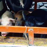
Pigs loaded in a vehicle in Ribeira Grande.

http://www.ricdigitalcommons.com/Baxter_temp/CV-81-093.jpg
Journey to Ribeira Grande, one of the most spectacular road trips a visitor to Cape Verde can experience. This was taken during David Baxter's journey and is believed to be the town of Povoac

http://www.ricdigitalcommons.com/Baxter_temp/CV-85-021.jpg
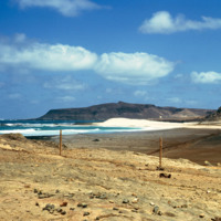
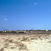
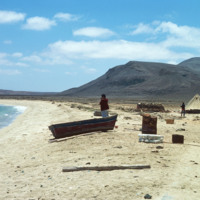
This photo was taken walking from Sal Rei to Praia de Cabral ("Cabral Beach"). This beautiful beach is located just 1 to 2 miles from the city and is a popular tourist attraction.

http://www.ricdigitalcommons.com/Baxter_temp/CV-85-022.jpg
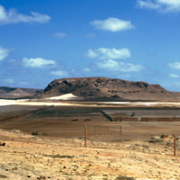
This photo was taken walking from Sal Rei to Praia de Cabral ("Cabral Beach"). This beautiful beach is located just 1 to 2 miles from the city and is a popular tourist attraction.

In the right of this photo there appears to be a sporting net and…

http://www.ricdigitalcommons.com/Baxter_temp/CV-85-018.jpg
This picture was taken from Praia de Cabral ("Cabral Beach"), looking in towards Sal Rei. Located on the northwest coast of Boa Vista, this popular beach is one of the many tourist attractions in Sal Rei. In 2011, the city approved a new resort to be…

http://www.ricdigitalcommons.com/Baxter_temp/CV-85-005.jpg
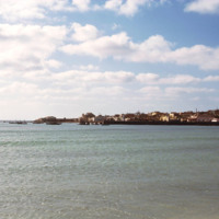
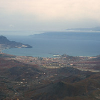
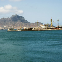
Sal Rei is covered with a large number of bays and beaches. This photograph was taken from the shoreline looking out towards the sea. In the distance there are buildings of the city as well as docked and anchored boats for the purpose of commercial…

http://www.ricdigitalcommons.com/Baxter_temp/CV-88-002.jpg
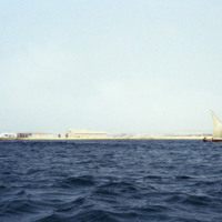
This photo was taken on the waters of the North Atlantic Ocean looking into the coastline of Sal Rei. A small sailboat with three passengers are seen to the right.

http://www.ricdigitalcommons.com/Baxter_temp/CV-88-048.jpg
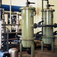
The Danish government built this desalination plant in Cape Verde just prior to this 1988 photograph.

Natural fresh water sources are few to nonexistent in many islands of Cape Verde. Therefore, seawater desalination plants are absolutely crucial…

http://www.ricdigitalcommons.com/Baxter_temp/CV-88-043.jpg
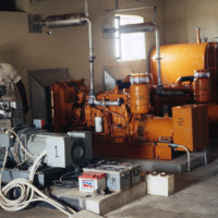
An unidentified man stands amidst some machinery, possibly a power source, that is part of a desalination plant.

This plant utilizes reverse osmosis to convert ocean water into viable, drinking water for the community. Osmosis requires a semi…

http://www.ricdigitalcommons.com/Baxter_temp/CV-89-058.jpg
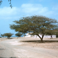
A dusty street in the small village of Calheta.

http://www.ricdigitalcommons.com/Baxter_temp/CV-89-047.jpg
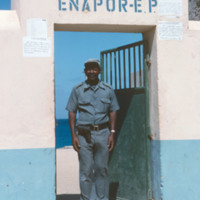
A man poses outside an ENAPOR, the Cape Verdean port authority. This location is on Maio. ENAPOR is a government organization in Cape Verde that charges for handling, storage and delivery of goods at ports.

http://www.ricdigitalcommons.com/Baxter_temp/CV-81-127.jpg
A man is pictured in the yard of a farmstead. A newer wall made out of rock and concrete is pictured.

http://www.ricdigitalcommons.com/Baxter_temp/CV-81-345.jpg
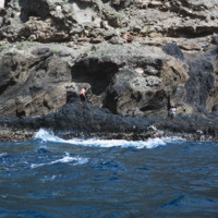
A man, perhaps a fisherman, on the rocky and step coast of Brava. Photographed during a journey by small boat from Faj

http://www.ricdigitalcommons.com/Baxter_temp/CV-89-078.jpg
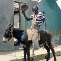
An unidentified man removes his hat for a photograph. He is posed in the same location as David Baxter (see: David Baxter, CV-89-077) and is perhaps the photographer who took that photo. It is also possible he was Baxter's guide during his visit to…

http://www.ricdigitalcommons.com/Baxter_temp/CV-81-069.jpg
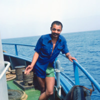
An unidentified man onboard the ferry "Proto Novo" is photographed en route to Santo Antão.

http://www.ricdigitalcommons.com/Baxter_temp/CV-81-027.jpg
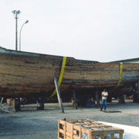
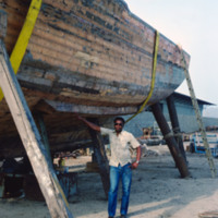
A wooden fishing boat is put in dry dock for repair in Mindelo. A man poses beside the boat for scale.

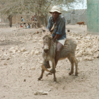
http://www.ricdigitalcommons.com/Baxter_temp/CV-89-075.jpg
A man rides a donkey in the coastal village of Calheta, a small fishing village about a mile north of Vila do Maio, the main settlement on the island.

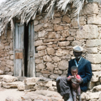
http://www.ricdigitalcommons.com/Baxter_temp/CV-89-072.jpg
An unidentified man sits with a child by a stone house with a thatched roof. This picture is believed to be taken in Calheta, a small coastal village on Maio.

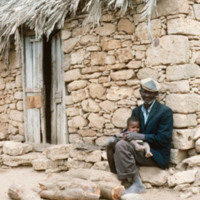
http://www.ricdigitalcommons.com/Baxter_temp/CV-89-073.jpg
An unidentified man sits with a child by a stone house with a thatched roof. This picture is believed to be taken in Calheta, a small coastal village on Maio.

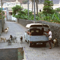
http://www.ricdigitalcommons.com/Baxter_temp/CV-81-105.jpg
A man with livestock in Ribeira Grande stands by his automobile. Ribeira Grande, known locally as Povoaçao, is known for it's cobbled streets. The steep grade at which the building ascend the nearby mountains is due to it's location between the…

http://www.ricdigitalcommons.com/Baxter_temp/CV-81-026.jpg
A man poses by a wooden fishing boat in Mindelo. The boat has been put in dry dock for repairs.

http://www.ricdigitalcommons.com/Baxter_temp/CV-81-372.jpg
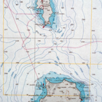
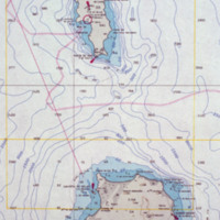
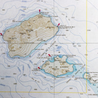
A contour map of the islands Boa Vista and Sal.

http://www.ricdigitalcommons.com/Baxter_temp/CV-81-001.jpg
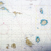
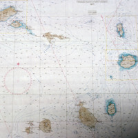
A topographical map of Cape Verde from 1971.

http://www.ricdigitalcommons.com/Baxter_temp/CV-81-002.jpg
An enlarged view of a map of Cape Verde showing the islands Sal and Boavista.

http://www.ricdigitalcommons.com/Baxter_temp/CV-81-370.jpg
A contour map of the Cape Verde archipelago.

http://www.ricdigitalcommons.com/Baxter_temp/CV-81-308.jpg
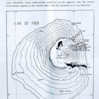
Contour map of the island, Fogo. The island, located in the Cape Verde archipelago, is mostly a large volcano, Pico do Fogo. It is laregly dormant, but has had intermittent eruptions, the last of which occurring in 1995.

http://www.ricdigitalcommons.com/Baxter_temp/CV-81-260.jpg
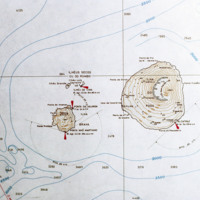
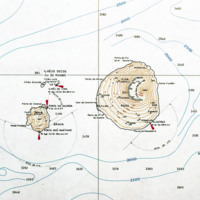
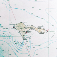
A contour map of the islands Fogo and Brava, a detail from a larger map showing the entire Cape Verde archipelago. Note the contour of Fogo, which contains Pico do Fogo, the highest point in Cape Verde, and active volcano.

http://www.ricdigitalcommons.com/Baxter_temp/CV-81-367.jpg
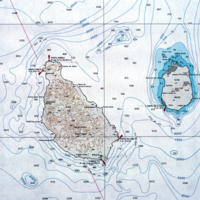
Detail of a contour map showing the islands Santiago and Maio.

Tags:

http://www.ricdigitalcommons.com/Baxter_temp/CV-81-008.jpg
Detail from a topographical map of Cape Verde (see CV-81-001). This detail shows the islands São Antão, São Luzia and São Vicente.
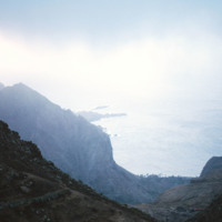
http://www.ricdigitalcommons.com/Baxter_temp/CV-81-178.jpg
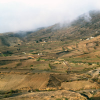
Detail from a map of Cape Verde showing São Nicolau. The island is in the northwest section of the Cape Verde archipelago and is in the windward group known as Barlavento. This map detail is from a larger map published in 1970.

http://www.ricdigitalcommons.com/Baxter_temp/CV-81-287a.jpg
This map illustrates the history of volcanic eruptions on the island of Fogo. "On the western slope of the island there are differentiated types passing into basanites (nepheline basalts), tephrites, and phonolites, on the salic side, and into some…

Tags: , ,

http://www.ricdigitalcommons.com/Baxter_temp/CV-81-267.jpg
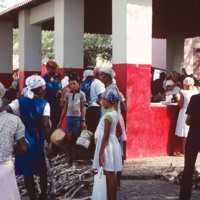
A busy market scene in São Felipe, the main city on Fogo. Although the island is home to a large and active volcano, and also because of it, it is a well populated island due to the high fertility of the soil. São Felipe is known for it's pastel…

http://www.ricdigitalcommons.com/Baxter_temp/CV-85-030.jpg
Cabral Beach has become one of Boa Vista's most popular beaches and tourist attractions. The beach is home to a hotel as well as a small Jewish cemetery. Additionally, Praia de Cabral has been the site of an annual music festival, which features Cape…

http://www.ricdigitalcommons.com/Baxter_temp/CV-85-056.jpg
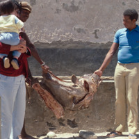
A man holding a child looks on as two other men display a large, unidentified dried fish.

http://www.ricdigitalcommons.com/Baxter_temp/CV-81-124.jpg
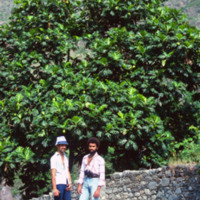
Two unidentified men on a road in the Ribiera do Paùl. They are pictured in front of a large tree and a stonewall. The same men are pictured in slide CV81135.

http://www.ricdigitalcommons.com/Baxter_temp/CV-81-039.jpg
A landscape photograph taken from atop Monte Verde shows Mindelo, Porto Grande, and neighboring island Santo Antão on the horizon. Monte Verde is São Vicente's highest peak.

http://www.ricdigitalcommons.com/Baxter_temp/CV-81-063.jpg
Mindelo, and specifically Porto Grande, seen from the ferry "Porto Novo" en route to Santo Antão. For many years "Porto Novo" provided daily service between the islands São Vicente and Santo Antão, but the vessel has since been retired. Ferry service…

http://www.ricdigitalcommons.com/Baxter_temp/CV-81-331.jpg
A misty view of the Brava coastline taken from an aluguer during an overland journey from Nova Sintra to Fajã d'Água.

http://www.ricdigitalcommons.com/Baxter_temp/CV-81-329.jpg
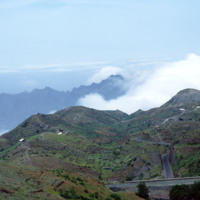
Photograph taken during an overland journey between Nova Sintra and Fajã d'Água. Rising into the mist is Monte Fontainhas, at 977 m it is the highest point on Brava.

http://www.ricdigitalcommons.com/Baxter_temp/CV-88-126.jpg
Area, known as P

http://www.ricdigitalcommons.com/Baxter_temp/CV-81-258.jpg
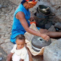
An unidentified mother and child in Tarrafal, São Nicolau. She appears to be milling corn to make corn meal or flour. Note the cobblestone street, a trademark of the Cape Verde islands.

http://www.ricdigitalcommons.com/Baxter_temp/CV-89-044.jpg
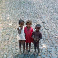
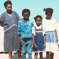
This photo is believed to be of a mother and three of her children in Vila do Maio. The woman in this photo, unidentified, is also seen in a photo with David Baxter (see: David Baxter and Unidentified Woman, CV-89-043).

http://www.ricdigitalcommons.com/Baxter_temp/CV-89-085.jpg
A mother and her newborn benefit from bedding donated from St. Luke's Hospital in New Bedford, MA.

http://www.ricdigitalcommons.com/Baxter_temp/CV-81-090.jpg
Journey to Ribeira Grande, one of the most spectacular road trips a visitor to Cape Verde can experience. In this image you can see how the mountains are stepped for farming. The island has two main peaks reaching 6,493 feet and 5,197 feet.

http://www.ricdigitalcommons.com/Baxter_temp/CV-81-092.jpg
Example terraced farming in the fertile soil of Santo Antão northern region near Ribeira Grande. This farm appears to be producing sugar cane, which is used in the proves of making grogue, an alcoholic beverage native to Cape Verde.

http://www.ricdigitalcommons.com/Baxter_temp/CV-81-123.jpg
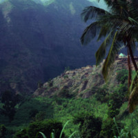
The peaks lining the Ribiera do Paùl. It shows a group of homes built into the side of the mountains. This area is often compared to the landscape of Hawaii. It is very green and the land is composed of a good deal of volcanic residue.

http://www.ricdigitalcommons.com/Baxter_temp/CV-81-354.jpg
A coastal road cut into the mountainous terrain of Brava.

http://www.ricdigitalcommons.com/Baxter_temp/CV-81-089.jpg
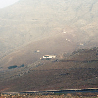
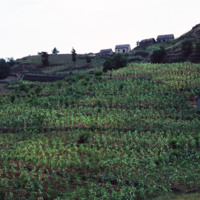
Journey to Ribeira Grande, one of the most spectacular road trips a visitor to Cape Verde can experience. Example of a rural mountain side farm photographed during David Baxter's journey to the Ribeira Grande from Porto Novo.

http://www.ricdigitalcommons.com/Baxter_temp/CV-81-094.jpg
Journey to Ribeira Grande, one of the most spectacular road trips a visitor to Cape Verde can experience. Photographed on this journey, this mountain top farm and rural setting on Santa Antão is perhaps typical of the impoverished life style in…

http://www.ricdigitalcommons.com/Baxter_temp/CV-81-151.jpg
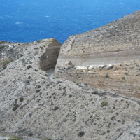
A view of the mountainous coastline around Paùl. Craggy mountains descend into the sea and cliffs are visible. The picture shows how striking and rugged the coastline can be. Slide CV-81-159 shows the same section of coastline at less of a…
Output Formats

atom, dcmes-xml, json, omeka-xml, rss2