Dublin Core
Title
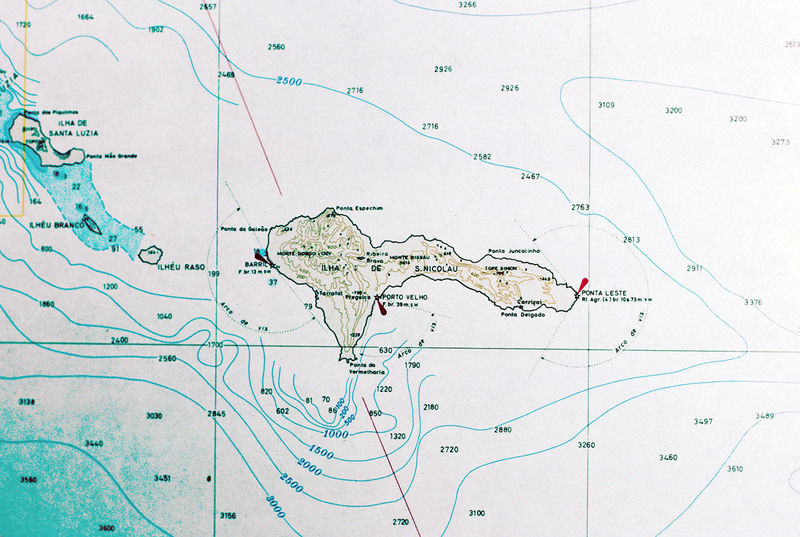
Map of São Nicolau
Description
Detail from a map of Cape Verde showing São Nicolau. The island is in the northwest section of the Cape Verde archipelago and is in the windward group known as Barlavento. This map detail is from a larger map published in 1970.
Creator
David Baxter
Source
Foy, Colm. Cape Verde: Politics, Economics and Society. (New York, 1988) pp. 7
Date
1970
Rights
Rhode Island College
Format
Photograph
Identifier
CV81178
Baxter Image Item Type Metadata
Slide ID
CV-81-178
Island
São Nicolau
Date Scanned
May 8, 2012
