Browse Items (1954 total)

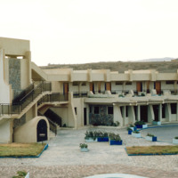
http://www.ricdigitalcommons.com/Baxter_temp/CV-83-047.jpg
The complex exterior of the Teacher's Training College is evident in this slide.

The system provides its teachers with the training necessary to be successful educators. Individuals planning to be primary school teachers are given 2 years of…

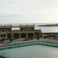
http://www.ricdigitalcommons.com/Baxter_temp/CV-83-046.jpg
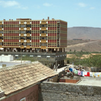
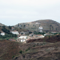
Here is another angle of the Teacher Training College, probably taken from the rooftop. The inner quarter includes a large swimming pool.

The system provides its teachers with the training necessary to be successful educators. Individuals planning…

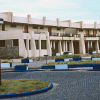
http://www.ricdigitalcommons.com/Baxter_temp/CV-83-045.jpg
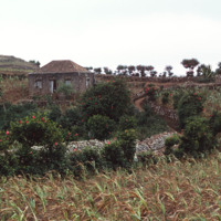
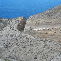
Seen in this slide is the outer facade of the Teacher Training College.

The system provides its teachers with the training necessary to be successful educators. Individuals planning to be primary school teachers are given 2 years of training post…

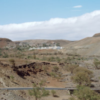
http://www.ricdigitalcommons.com/Baxter_temp/CV-83-044.jpg
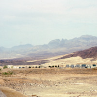
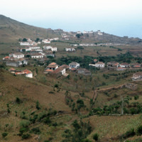
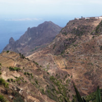
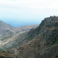
Pictured in the distance is the Teacher Training College in Santa Catarina, Santiago. The system provides its teachers with the training necessary to be successful educators. Individuals planning to be primary school teachers are given 2 years of…

http://www.ricdigitalcommons.com/Baxter_temp/CV-83-040.jpg
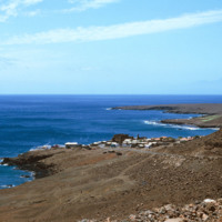
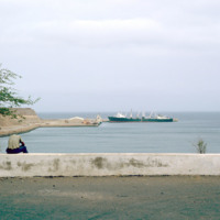
This slide is another depiction of the coastline of Praia. The Mid-Atlantic Ocean surrounds the East, South, and Western portions of the city.

http://www.ricdigitalcommons.com/Baxter_temp/CV-83-039.jpg
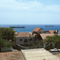
This slide, similar to CV-83-033, Docked Ships Along the Coast of Praia, was taken above street level so that the roofs of the city are exposed. Important to this city is the port, which exports goods such as coffee, tropical fruits and sugar cane.

http://www.ricdigitalcommons.com/Baxter_temp/CV-83-038.jpg
The Bank of Cape Verde is located in the capital city of Praia on the island of Santiago. It gained functional independence from the Portuguese Banco Nacional Ultramarino on July 1, 1976. The bank played an instrumental role in financing Cape Verde's…

http://www.ricdigitalcommons.com/Baxter_temp/CV-83-036.jpg
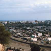
A panoramic view of Praia, similar to slide CV-83-035, Praia, Capital of Cape Verde. On the left of the frame the Domingos Ramos Secondary School, with it's distinctive, pyramid-like tower rising above the city, can be seen.

http://www.ricdigitalcommons.com/Baxter_temp/CV-83-035.jpg
Praia, the capital and largest city in Cape Verde, as photographed in 1983. The Domingos Ramos Secondary School is visible in the distance on the left side of the image. The Maria Pia lighthouse can be seen in the distance near the center of the…

http://www.ricdigitalcommons.com/Baxter_temp/CV-83-034.jpg
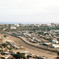
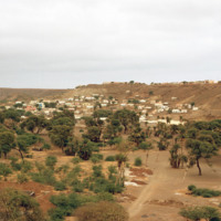
An inland view of an unidentified neighborhood in Praia, the capital of Cape Verde. During the day the downtown area is a bustling business center, but at night merchants and workers retire to the communities scattered in the neighboring plains, such…

http://www.ricdigitalcommons.com/Baxter_temp/CV-83-033.jpg
Situated along the coast of Santiago is Cape Verde's capital and largest city, Praia. The capital acts as an important port for the islands, exporting goods such as coffee, tropical fruits and sugar cane.

http://www.ricdigitalcommons.com/Baxter_temp/CV-83-032.jpg
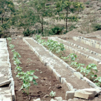
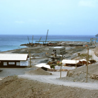
Inhabitants of Paul lay the framework for the agricultural system seen in the two previous slides. The main economy in this area is agriculture due to the fact that vegetation flourishes even in seasons of drought.
http://www.ricdigitalcommons.com/Baxter_temp/CV-83-031.jpg
Pictured are planted rows of crops on the municipality of Paul. The area is known for its nutrient rich land that gives rise to a diverse range of crops, the most prominent being corn.

http://www.ricdigitalcommons.com/Baxter_temp/CV-83-030.jpg
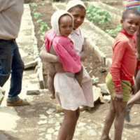
Children stand amidst rows of planted crops.

http://www.ricdigitalcommons.com/Baxter_temp/CV-83-029.jpg
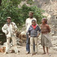
An unidentified family stands ready for their portrait to be taken in the municipality of Paul.

http://www.ricdigitalcommons.com/Baxter_temp/CV-83-026.jpg
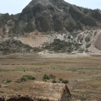
Cova is a crater that is part of an inactive volcano on the island of São Antão. A distinct feature of this high altitude micro environment is the flora that resides there. As opposed to the lush valleys below, the crater Cova boasts woody vegetation…

http://www.ricdigitalcommons.com/Baxter_temp/CV-83-025.jpg
Cova is a crater that is part of an inactive volcano on the island of São Antão. A distinct feature of this high altitude micro environment is the flora that resides there. As opposed to the lush valleys below, the crater Cova boasts woody vegetation…

http://www.ricdigitalcommons.com/Baxter_temp/CV-83-023.jpg
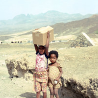
Two unidentified children stand amidst the Pozolan Mines in Porto Novo.

http://www.ricdigitalcommons.com/Baxter_temp/CV-83-022.jpg
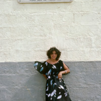
An unidentified woman stands beneath a sign that translates to:
"In 1947, Emilio Santiago discovered and identified the existence of pozolan in the landscape of Cape Verde. With 93 years, Luiz C. Santiago selflessly and courageously made the…

http://www.ricdigitalcommons.com/Baxter_temp/CV-83-021.jpg
Pozolan is a naturally occurring fly ash which is an additive to cement. It reportedly enhances cement's ability to withstand the corrosive effect of sea water, and is therefore used extensively in the construction of marine docks.

http://www.ricdigitalcommons.com/Baxter_temp/CV-83-020.jpg
Pozolan is a naturally occurring fly ash which is an additive to cement. It reportedly enhances cement's ability to withstand the corrosive effect of sea water, and is therefore used extensively in the construction of marine docks.

Pozolan fills…

http://www.ricdigitalcommons.com/Baxter_temp/CV-83-019.jpg
Pozolan is a naturally occurring fly ash which is an additive to cement. It reportedly enhances cement's ability to withstand the corrosive effect of sea water, and is therefore used extensively in the construction of marine docks.

http://www.ricdigitalcommons.com/Baxter_temp/CV-83-018.jpg
A photograph of "Cais Grande" (Main Dock) at Porto Grande. Porto Grande is the main port for imports and exports in Cape Verde.

http://www.ricdigitalcommons.com/Baxter_temp/CV-83-017.jpg
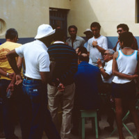
"Festinha" at the house of Ti Cesar (Cesar Santos), Ribeirinha, Mindelo. Ti Cesar is well known to everyone in S

http://www.ricdigitalcommons.com/Baxter_temp/CV-83-016.jpg
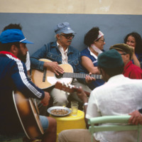
"Festinha" at the house of Ti Cesar (Cesar Santos), Ribeirinha, Mindelo. Ti Cesar is well known to everyone in S

http://www.ricdigitalcommons.com/Baxter_temp/CV-83-014.jpg
"Festinha" at the house of Ti Cesar (Cesar Santos), Ribeirinha, Mindelo. Ti Cesar is well known to everyone in S

http://www.ricdigitalcommons.com/Baxter_temp/CV-83-012.jpg
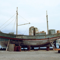
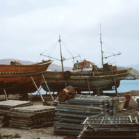
Maintenance of wooden fishing boat in dry dock at Porto Grande.

http://www.ricdigitalcommons.com/Baxter_temp/CV-83-011.jpg
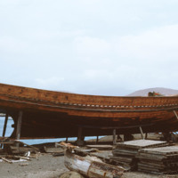
Fishing boat maintenance at Porto Grande. Wooden fishing boats are brought into dry dock for repair and maintenance.

http://www.ricdigitalcommons.com/Baxter_temp/CV-83-010.jpg
Boats in dry dock at Porto Grande are maintained and repaired.

http://www.ricdigitalcommons.com/Baxter_temp/CV-83-009.jpg
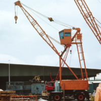
Machinery used for boat maintenance at Porto Grande. Here, two cranes are pictured, which may also be used for loading and unloading cargo.

http://www.ricdigitalcommons.com/Baxter_temp/CV-83-008.jpg
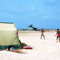
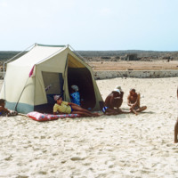
A typical scene of recreation and relaxation at Baia das gatas, a popular weekend resort for both São Vicente residents and tourists alike. It is located about eight miles west of Mindelo, the largest and only city on São Vicente. In the background…
http://www.ricdigitalcommons.com/Baxter_temp/CV-83-007.jpg
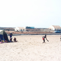
A typical scene of recreation and relaxation at Baia das gatas, a popular weekend resort for both São Vicente residents and tourists alike. It is located about eight miles west of Mindelo, the largest and only city on São Vicente.
http://www.ricdigitalcommons.com/Baxter_temp/CV-83-006.jpg
A typical scene of recreation and relaxation at Baia das gatas, a popular weekend resort for both São Vicente residents and tourists alike. It is located about eight miles west of Mindelo, the largest and only city on São Vicente.

http://www.ricdigitalcommons.com/Baxter_temp/CV-83-005.jpg
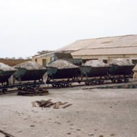
This 1983 photograph shows Funding was provided in the late 1970s to modernize Porto Grande, the largest port in the country. Here expansion is under way. On the horizon, the uninhabited islet, Ílhéu dos Passaros, marks the border between Mindelo Bay…

http://www.ricdigitalcommons.com/Baxter_temp/CV-83-003.jpg
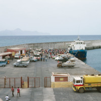
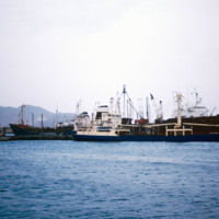
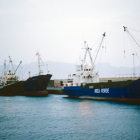
Cargo and fishing vessels docked at Porto Grande, the country's largest port. Porto Grande is located in Mindelo. Porto Grande is used for imports but also as a storage port for visiting vessels. It was equiped with a fish freezing plant a few years…

http://www.ricdigitalcommons.com/Baxter_temp/CV-83-002.jpg
Cargo and fishing vessels docked at Porto Grande, the country's largest port. Porto Grande is located in Mindelo. Porto Grande is used for imports but also as a storage port for visiting vessels. It was equiped with a fish freezing plant a few years…

http://www.ricdigitalcommons.com/Baxter_temp/CV-81-372.jpg
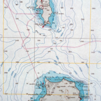
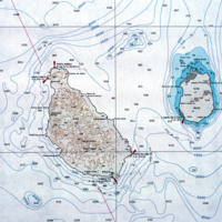
A contour map of the islands Boa Vista and Sal.

http://www.ricdigitalcommons.com/Baxter_temp/CV-81-370.jpg
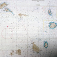
A contour map of the Cape Verde archipelago.

http://www.ricdigitalcommons.com/Baxter_temp/CV-81-367.jpg
Detail of a contour map showing the islands Santiago and Maio.

Tags:

http://www.ricdigitalcommons.com/Baxter_temp/CV-81-366.jpg
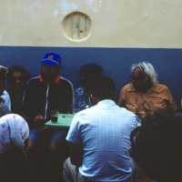
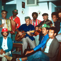
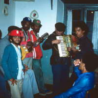
Musicians and friends gather at a "despedida" or farewell party for someone leaving Cape Verde.

http://www.ricdigitalcommons.com/Baxter_temp/CV-81-365.jpg
Musicians and fellow party attendees at a 'despidida,' that is, a farewell party for someone leaving Cape Verde.

http://www.ricdigitalcommons.com/Baxter_temp/CV-81-364.jpg
An unidentified woman poses for a portrait at a 'despedida,' that is, a farewell party for someone leaving Cape Verde.

http://www.ricdigitalcommons.com/Baxter_temp/CV-81-363.jpg
This photograph is believed to be of Eduardo Camilo, a good friend of David Baxter who served as his guide on the island of Brava.

http://www.ricdigitalcommons.com/Baxter_temp/CV-81-362.jpg
An elevated, distant view of Nova Sintra, including a stone walled cemetery. Because of the hilly terrain, this village is split into seven separate town squares. It is the main town on Brava.

http://www.ricdigitalcommons.com/Baxter_temp/CV-81-361.jpg
After a journey by small boat from Fajã d'Água, Davide Baxter and his good friend and guide Eduardo (Dudu) Camilo arrive in Cachaço. A winding path lined with hibiscus wrape around the stone houses in this small island vila.

http://www.ricdigitalcommons.com/Baxter_temp/CV-81-360.jpg
Cachaço photographed by David Baxter after journeying from Fajã d'Água with his guide Eduardo (Dudu) Camilo. Cachaço is a small vila about 5 km south of Nova Sintra.

http://www.ricdigitalcommons.com/Baxter_temp/CV-81-358.jpg
Some vegetation dots the side of this mountainous region of Brava. Most of Brava is a large tableland elevated from a steep coastline. There are also some peaks that jut out of the tableland, such as this photograph shows.

http://www.ricdigitalcommons.com/Baxter_temp/CV-81-357.jpg
A long elevated view of Brava's landscape shows one of the more mountainous sections of the island, most of which is an elevated by relatively flat tableland. On the horizon Ilhéu da Areia, a small islet north of Fajã d'Água, can be seen through the…

http://www.ricdigitalcommons.com/Baxter_temp/CV-81-355.jpg
A dirt road winds up the steep mountainous terrain of Brava to a small, unidentified, village.

http://www.ricdigitalcommons.com/Baxter_temp/CV-81-354.jpg
A coastal road cut into the mountainous terrain of Brava.
Output Formats

atom, dcmes-xml, json, omeka-xml, rss2