Browse Items (993 total)

  • Collection: Chester Smolski Photographs

http://www.ricdigitalcommons.com/temp/5573.jpg
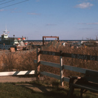
  The dock in the Old Harbor District of Block Island is the arrival port for the ferries that carry visitors and supplies to the Island, which is located just twelve miles off the southern coast of Rhode Island. Block Island saw a surge in…

http://www.ricdigitalcommons.com/temp/5567.jpg
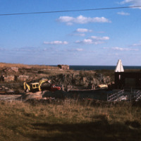
  The City Drug Store is one of the late nineteenth century buildings located in the Old Harbor District. Development, which was rare in the first half of the twentieth century on the island, is taking place around the square in this photo from the…

http://www.ricdigitalcommons.com/temp/5574.jpg
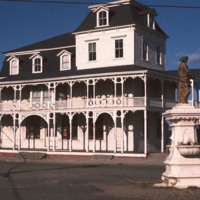
  The Block Island City Drug Store is located in the Old Harbor District of the island. The majority of the buildings and hotels in this district are painted white with cottage style details, reflecting the seaside resort style prominent in the…

http://www.ricdigitalcommons.com/temp/0432.jpg
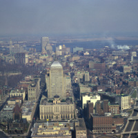
  An aerial of Boston taken from the Prudential Skywalk Observatory at the top of the Prudential Tower.

http://www.ricdigitalcommons.com/temp/0422.jpg
  An Aerial view of Boston from the Skywalk Observatory, located on the 60th floor of the Prudential Tower. 

http://www.ricdigitalcommons.com/temp/0433.jpg
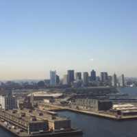
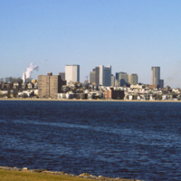
  Boston’s downtown skyline and harbor are picture here in 1979. Boston harbor has been a hub for the shipping industry for centuries, beginning in the late 1600s with the boom of ship building in the colonies. 

http://www.ricdigitalcommons.com/temp/0413.jpg
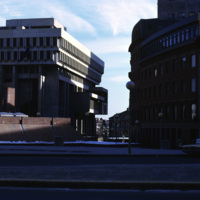
  Boston City Hall is the centerpiece of Government Center which consists of both commercial and civic buildings. Construction began on the site in 1963 and was completed in 1969. Kallman, McKinnell and Knowles designed the building. The architects…

http://www.ricdigitalcommons.com/temp/0412.jpg
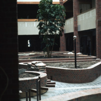
  The Massachusetts Housing Finance Agency was a quasi-public housing agency in the Boston area. Now operating under the name MassHousing, the company is an independent, not-for-profit real estate and development agency specializing in low-income…

http://www.ricdigitalcommons.com/temp/4950.jpg
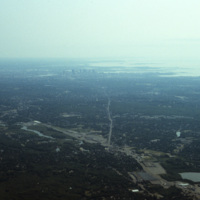
An aerial photo showing the skyline of the city Boston and the cloudy Quincy Bay to its right.

http://www.ricdigitalcommons.com/temp/0825.jpg
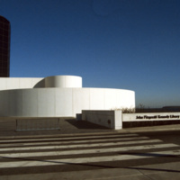
Designed by Chinese-American and modernist master architect I. M. Pei, the John F. Kennedy Presidential Library and Museum opened in 1979 after years of set back. It is located in the Dorchester neighborhood of Boston. This photograph shows the…

http://www.ricdigitalcommons.com/temp/0824.jpg
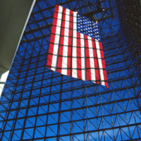
This interior photograph at the John F. Kennedy Presidential Library shows the American flag hanging in a 115 foot grey-glass pavilion. The pavilion stands between a circular section and the 125 foot concrete tower that houses the archives and…

http://www.ricdigitalcommons.com/temp/0822.jpg
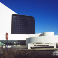
The Presidential Library and Museum of 35th President John Fitzgerald Kennedy was dedicated in 1979, but planning for the library began during Kennedy’s life. He even visited potential locations in October 1963. Kennedy chose Boston as a location…

http://www.ricdigitalcommons.com/temp/0835.jpg
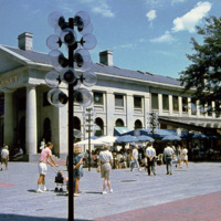
Boston’s Quincy Market, a 19th century marketplace built in the Greek Revival style. It is American architect Alexander Parris’ most famous building, and is made almost entirely of granite from New England. The Quincy Market fell into decline in…

http://www.ricdigitalcommons.com/temp/0826.jpg
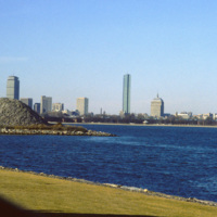
Located on Columbia Point, this is the view of Boston from the John F. Kennedy Presidential Library. Before being redeveloped the site had been a garbage dump. In this view of the Boston skyline are notable skyscrapers (left to right) The Prudential…

http://www.ricdigitalcommons.com/temp/0823.jpg
The Boston skyline is photographed from The John F. Kennedy Presidential Library at Columbia Point in this 1987 photograph. In 1963 Kennedy chose Boston as the location of his Presidential Library because he felt the other Presidential Libraries…

http://www.ricdigitalcommons.com/temp/0415.jpg
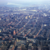
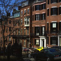
The Boston neighborhood known as the South End (see notes) was once marshland that was filled in the 1840s as a solution to overcrowding in the Back Bay area. Renowned architect Charles Bulfinch created a plan for the South End neighborhood’s…

http://www.ricdigitalcommons.com/temp/0417.jpg
The Boston neighborhood known as the South End (see notes) was once marshland that was filled in the 1840s as a solution to overcrowding in the Back Bay area. Renowned architect Charles Bulfinch created a plan for the South End neighborhood’s…

http://www.ricdigitalcommons.com/temp/0416.jpg
The Boston neighborhood known as the South End (see notes) was once marshland that was filled in the 1840s as a solution to overcrowding in the Back Bay area. Renowned architect Charles Bulfinch created a plan for the South End neighborhood’s…

http://www.ricdigitalcommons.com/temp/0414.jpg
The Boston neighborhood known as the South End (see notes) was once marshland that was filled in the 1840s as a solution to overcrowding in the Back Bay area. Renowned architect Charles Bulfinch created a plan for the South End neighborhood’s…

http://www.ricdigitalcommons.com/temp/0594.jpg
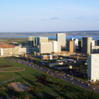
Brasilia is a planned city that has been both criticized as a failed utopia acclaimed as a masterpiece of modernist architecture. The city is mapped out into sections forming the shape of a bird or airplane. This photograph is taken in one of…

http://www.ricdigitalcommons.com/temp/0592.jpg
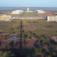
This photograph faces south east across Brasilia’s Monumental Access. The photograph was taken from the TV Tower. Prominent in the left middle ground is the Praça dos Aposentados, a housing complex for retired persons. Just behind that is the…

http://www.ricdigitalcommons.com/temp/0605.jpg
This east facing view of Brasilia was photographed from the TV Tower. This photograph illustrates the layout of the city, which was planned in the shape of a bird. At the center of the photograph is the National Congress Building, with it’s twin…

http://www.ricdigitalcommons.com/temp/0604.jpg
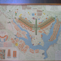
This 1969 map of Brasilia show’s the bird-like shape of the city as designed by Lucia Costa. He was hired by President Juscelino Kubitschek to design the city in what had previously been a waste land with scarce water, animals, plants or people.

http://www.ricdigitalcommons.com/temp/0599.jpg
Designed by Oscar Niemeyer, the National Congress Building is a masterpiece among the many of his works in the Brazilian modernist style. This unique layout separates the Senate and the Chamber of Deputies into two separate semi-speherical…

http://www.ricdigitalcommons.com/temp/0603.jpg
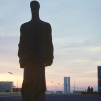
From the Catedral de Brasilia, this photograph looks west toward the National Congress Building. In the foreground is one of the statues, distinctly modernist that line the entry to the Catedral. Both the Catedral de Brasilia and the National…

http://www.ricdigitalcommons.com/temp/0591.jpg
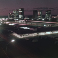
This south facing view of Brasilia looks across the ‘wings’ of the city into the planned residential neighborhoods. The modernist architecture, designed by Oscar Niemeyer, dominates the city. In the foreground of the photograph is a subway station…

http://www.ricdigitalcommons.com/temp/0606.jpg
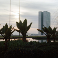
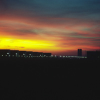
The silhouettes of Oscar Niemeyer’s public architecture create the horizon of this Brasilia sunset photographed by Chet Smolski in 1974. Niemeyer’s distinctly shaped buildings are a symbol of Brasilia. Note the top of the Catedral de Brasilia…

http://www.ricdigitalcommons.com/temp/0596.jpg
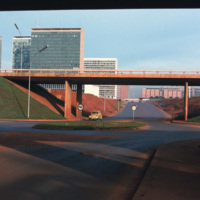
This photograph looks west on Brasilia’s Monumental Axis under the overpasses of the North and South Roads, where the bus and subway terminals are located. Smolski notes on the slide the choice to install roundabouts rather than traffic signals.

http://www.ricdigitalcommons.com/temp/0590.jpg
Looking west down Brasilia’s Monumental Axis Smolski capture’s an array of modernist architecture. Of note, to the left is Correios, the national headquarters for Brazil’s postal service. Prominent in the center right of the photograph is Brasilia’s…

http://www.ricdigitalcommons.com/temp/1249.jpg
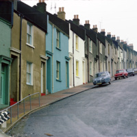
This photograph shows houses near Albion Hill in Brighton. The houses were originally made in the early 19th century of substandard material which quickly deteriorated into slums. In the 1930s redevelopment of the area began.

http://www.ricdigitalcommons.com/temp/5470.jpg
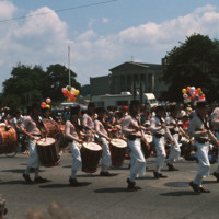
  The annual 4th of July parade held in Bristol, RI. Bristol has partaken in celebrating our national independence since 1785, earning the title of the “Home of America’s Oldest Forth of July Celebration”. Here, the Colonial Navy of Massachusetts on…

http://www.ricdigitalcommons.com/temp/4800.jpg
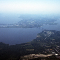
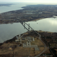
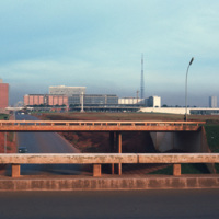
Aerial image of Roger Williams University and the Mount Hope Bridge in Bristol, Rhode Island. The Mount Hope Bridge was constructed between 1927 and 1929. In 1956, the college purchased this waterfront land just north of the bridge in Bristol and…
http://www.ricdigitalcommons.com/temp/4800.jpg
Aerial image of Roger Williams University and the Mount Hope Bridge in Bristol, Rhode Island. The Mount Hope Bridge was constructed between 1927 and 1929. In 1956, the college purchased this waterfront land just north of the bridge in Bristol and…
http://www.ricdigitalcommons.com/temp/4870.jpg
Aerial image of Roger Williams University and the Mount Hope Bridge in Bristol, Rhode Island when the school was still called Roger Williams College. The Mount Hope Bridge was constructed between 1927 and 1929. In 1956, the college purchased this…

http://www.ricdigitalcommons.com/temp/4871.jpg
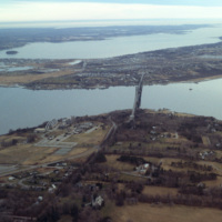
Aerial image of Roger Williams University and the Mount Hope Bridge in Bristol, Rhode Island when the school was still called Roger Williams College. The Mount Hope Bridge was constructed between 1927 and 1929. In 1956, the college purchased this…

http://www.ricdigitalcommons.com/temp/4872.jpg
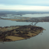
Aerial image of Roger Williams University and the Mount Hope Bridge in Bristol, Rhode Island when the school was still called Roger Williams College. The Mount Hope Bridge was constructed between 1927 and 1929. In 1956, the college purchased this…

http://www.ricdigitalcommons.com/temp/4874.jpg
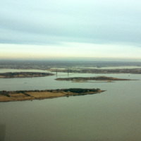
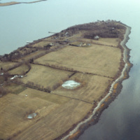
A view across Narragansett Bay, looking towards Prudence Island and the East Passage. Prudence Island is one of the largest islands in the bay. There are approximately thirty islands in the bay, and over ten different rivers flow into it from around…

http://www.ricdigitalcommons.com/temp/4877.jpg
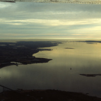
A view across Narragansett Bay, looking towards Prudence Island and the East Passage. Prudence Island is one of the largest islands in the bay. There are approximately thirty islands in the bay, and over ten different rivers flow into it from around…

http://www.ricdigitalcommons.com/temp/4873.jpg
Poppasquash Point in Bristol, RI is home to the English-inspired, Tudor-revival, country estate known as Point Pleasant and Point Pleasant Farm. It overlooks the Bristol Harbor and provides a view of Narragansett Bay. The estate is of particular…

http://www.ricdigitalcommons.com/temp/4799.jpg
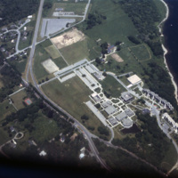
Aerial image of Roger Williams University in Bristol, Rhode Island when the school was still called Roger Williams College. In 1956 the college purchased this waterfront land in Bristol and became a two-year institution named Roger Williams Junior…
http://www.ricdigitalcommons.com/temp/4799.jpg
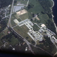
Aerial image of Roger Williams University in Bristol, Rhode Island when the school was still called Roger Williams College. In 1956 the college purchased this waterfront land in Bristol and became a two-year institution named Roger Williams Junior…
http://www.ricdigitalcommons.com/temp/0711.jpg
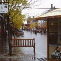
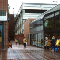
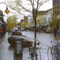
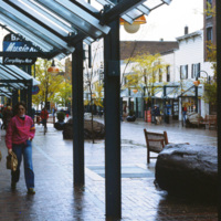
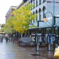
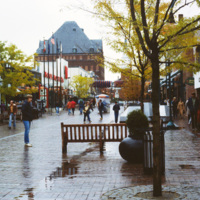
The Burlington Square Mall, now known as the Church Street Marketplace, is the center of town in Burlington, Vermont. It is a four block pedestrian mall, and a cultural and commercial hub of the city.
http://www.ricdigitalcommons.com/temp/0708.jpg
Constructed in 1972, the Burlington Square mall is a four-block pedestrian mall in Burlington, Vermont.

http://www.ricdigitalcommons.com/temp/0710.jpg
The Burlington Square Mall, now known as the Church Street Marketplace, is the center of town in Burlington, Vermont. It is a four block pedestrian mall, and a cultural and economic hub of the city.

http://www.ricdigitalcommons.com/temp/0709.jpg
Burlington Square Mall, now known as Church Street Marketplace, is photographed here in 1983. Built in 1972, it is a pedestrian mall in the heart of downtown Burlington. The Church Street Marketplace hosts yearly art festivals, street performers and…

http://www.ricdigitalcommons.com/temp/0713.jpg
A street view of Burlington’s Church Street Marketplace, a four block pedestrian open air mall. It was established in 1972 as the Burlington Square Mall.

http://www.ricdigitalcommons.com/temp/0712.jpg
Looking north on Church Street, the Masonic Temple, designed by Wilson Brothers & Company, towers over the Burlington Square Mall, now known as the Church Street Marketplace. It is a pedestrian mall that occupies four blocks in Burlington opened…

http://www.ricdigitalcommons.com/temp/0791.jpg
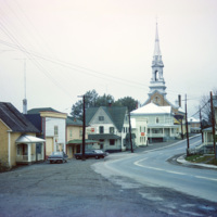
Cabano is a small town in the Canadian province of Quebec. In the twentieth century it experienced several devestating fires. In 1950 a fire destroyed over 100 homes. This 1965 photograph shows a house with a ladder on the roof, a fire prevention…

http://www.ricdigitalcommons.com/temp/0840.jpg
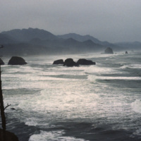
Originally named Ecola for the river that empties, the name of this small Oregon town was changed to Canon Beach in 1922. As of the 2000 census there we 1,588 people living in Canon Beach. It is tourist attraction and popular weekend getaway for…

http://www.ricdigitalcommons.com/temp/0839.jpg
Originally named Ecola for the river that empties, the name of this small Oregon town was changed to Canon Beach in 1922. As of the 2000 census there we 1,588 people living in Canon Beach. It is tourist attraction and popular weekend getaway for…
Output Formats

atom, dcmes-xml, json, omeka-xml, rss2