Browse Items (993 total)

  • Collection: Chester Smolski Photographs

http://www.ricdigitalcommons.com/temp/4912.jpg
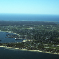
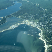
An aerial view of Nantucket Island and its harbor, in Massachusetts. Nantucket lies thirty miles south of Cape Cod, and is approximately fifteen miles in length. The town of Nantucket includes Nantucket Island as well as Tuckernuck Island, Muskegat…

http://www.ricdigitalcommons.com/temp/4913.jpg
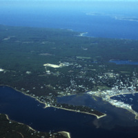
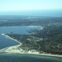
An aerial view of Nantucket Island and its harbor, in Massachusetts. Nantucket lies thirty miles south of Cape Cod, and is approximately fifteen miles in length. The town of Nantucket includes Nantucket Island as well as Tuckernuck Island, Muskegat…

http://www.ricdigitalcommons.com/temp/4914.jpg
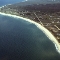
An aerial view of Nantucket Island in Massachusetts. Nantucket lies thirty miles south of Cape Cod, and is approximately fifteen miles in length. The town of Nantucket includes Nantucket Island as well as Tuckernuck Island, Muskegat Island, and a…

http://www.ricdigitalcommons.com/temp/4915.jpg
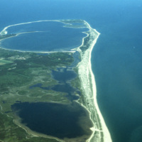
An aerial view of Nantucket Island and its harbor, in Massachusetts. Nantucket lies thirty miles south of Cape Cod, and is approximately fifteen miles in length. The town of Nantucket includes Nantucket Island as well as Tuckernuck Island, Muskegat…

http://www.ricdigitalcommons.com/temp/4917.jpg
An aerial view of Nantucket Island and its harbor, in Massachusetts. Nantucket lies thirty miles south of Cape Cod, and is approximately fifteen miles in length. The town of Nantucket includes Nantucket Island as well as Tuckernuck Island, Muskegat…

http://www.ricdigitalcommons.com/temp/4918.jpg
An aerial view of Nantucket Island and its harbor, in Massachusetts. Nantucket lies thirty miles south of Cape Cod, and is approximately fifteen miles in length. The town of Nantucket includes Nantucket Island as well as Tuckernuck Island, Muskegat…

http://www.ricdigitalcommons.com/temp/1071.jpg
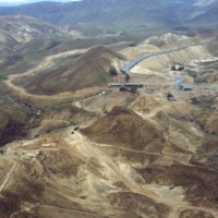
Largely untouched for two thousand years, this photograph shows the original Roman access road to Masada, which can still be traveled on foot by visitors. On the western side, this “ramp” was constructed by the Romans as a way to penetrate the…

http://www.ricdigitalcommons.com/temp/1068.jpg
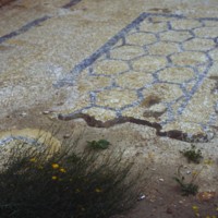
Mosaic in King Herod’s Palace at Masada. Despite it’s remote location, excavations at Masada have revealed beautiful tiles and mosaics, and balconies with beautiful views of the surrounding country. Masada was taken in A.D. 66 by Jewish rebels who…

http://www.ricdigitalcommons.com/temp/5239.jpg
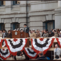
On January 3, 1983, Vincent A. “Buddy” Cianci was inaugurated as Providence’s mayor for his third term. Having held office for more than 21 years, Buddy is the longest serving mayor of Providence, including during the city's, “Renaissance phase.”…

http://www.ricdigitalcommons.com/temp/0402.jpg
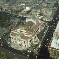
  The Palacio de Bellas Artes, the Palace of Fine Arts, in Mexico city was constructed in the early 1900s. President Porfirio Diaz wanted the building to commemorate Mexico’s independence from Spain. When a revolution broke out in 1910, construction…

http://www.ricdigitalcommons.com/temp/0533.jpg
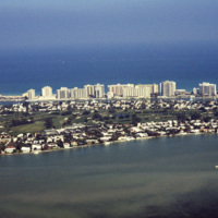
An aerial photograph of La Gorce island in Miami Beach, Florida. In the foreground is La Gorce Golf Course and Country Club. The eastern shore is lined with hotels and resorts.

http://www.ricdigitalcommons.com/temp/0541.jpg
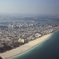
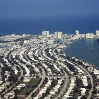
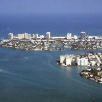
Looking north across Miami Beach’s Oceanfront show’s the hotels lined up on Collins Ave., the Bal Harbor Islands and Indian Creek, and finally North Miami on the horizon.

http://www.ricdigitalcommons.com/temp/0537.jpg
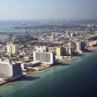
Looking south, this aerial photograph show’s Miami Beach’s Oceanfront in the late 1970’s. Clearly visible is the string of hotels in the style now known as Miami Modernist Architecture (MiMo) along Collins Ave. In the late 2000’s preservationists…

http://www.ricdigitalcommons.com/temp/0544.jpg
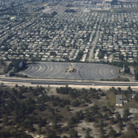
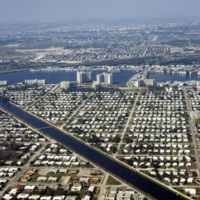
Residential neighborhoods and a drive in theater seen in this aerial photograph of Miami Beach. In the 1970s Miami Beach was largely a retirement community, but emigration from Cuba largely pushed them out in the following decade and effectively…

http://www.ricdigitalcommons.com/temp/0546.jpg
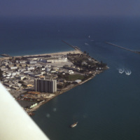
The Sunset Islands were the last of the man made islands to be built in Biscayne Bay. During the 1920s a land boom fueled the creation of several man made islands in Biscayne Bay, but at the end of a decade it the boom ended and many realtors went…

http://www.ricdigitalcommons.com/temp/0534.jpg
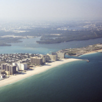
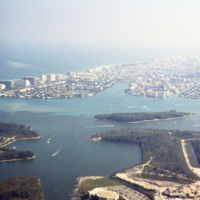
This aerial view shows Bal Harbor, Bal Harbor beach, and Biscayne Bay. At frame left, just above the small island, is where Florida International University’s Biscayne Bay Campus would be located. In this image some of the early construction for the…

http://www.ricdigitalcommons.com/temp/0536.jpg
An east facing aerial photograph shows Miami Beach’s Oceanfront and Bal Harbor Islands in the late 1970’s. In the 1970’s Miami Beach’s tourism industry saw declines. Over the next decade, hundreds of Cuban refugee’s would move into the area which in…

http://www.ricdigitalcommons.com/temp/0535.jpg
This southeast facing photograph looks across Bal Harbor toward Miami Beach’s Oceanfront. Visible at the bottom of the frame is construction of Florida International University’s Biscayne Bay Campus.

http://www.ricdigitalcommons.com/temp/0573.jpg
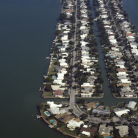
Biscayne Point in Miami Beach is a residential neighborhood made up of three man made islands in Biscayne Bay. The Biscayne Point islands are a part of the North Beach, which is the are north of 63rd Ave and Collins. This aerial photograph looks down…

http://www.ricdigitalcommons.com/temp/0538.jpg
At the center of the aerial photograph is the Carillon Hotel, a wonderful example of the Miami Modernist Architectural (MiMo) style designed by Norman Giller. First opened in 1957, it has since been repurchased and modified. The current owners and…

http://www.ricdigitalcommons.com/temp/0543.jpg
The Eden Roc Renaissance Miami Beach was completed in 1956. Designed by architect Morris Lapidus after completing the Fontainebleu, the Eden Roc’s neighbor. Lapidus used curvy and innovative designs that were widely criticized at the time they were…

http://www.ricdigitalcommons.com/temp/0540.jpg
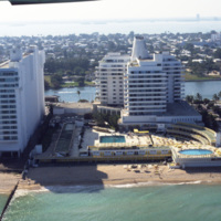
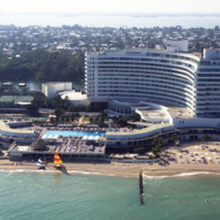
The Fontainebleau Hotel in Miami Beach is the one of the grandest hotels in the city and perhaps the epitome of Miami Modernist Architecture (MiMo). Designed by Morris Lapidus, it is considered the most significant building of his career. Just to the…

http://www.ricdigitalcommons.com/temp/0542.jpg
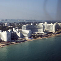
The Fontainebleu Hotel in Miami Beach is the largest and grandest example of Miami Modernist Architecture (MiMo). It was designed by Morris Lapidus, who designed many of the building in Miami Beach, and completed in 1954. In 2008 the Fontainebleu…

http://www.ricdigitalcommons.com/temp/0545.jpg
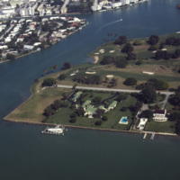
An aerial view of Indian Creek shows private residences around Indian Creek Golf Course. According to satellite photographs none of these structures are still standing, the large house with the green roof seems to have been split into three smaller…

http://www.ricdigitalcommons.com/temp/0554.jpg
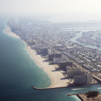
This aerial photograph shows a South Beach that is virtually unrecognizable. Much of the area since this 1978 photograph has been redeveloped with high rise resorts.

http://www.ricdigitalcommons.com/temp/0574.jpg
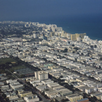
This aerial view shows most of Miami Beach’s South Beach neighborhood, including the famous Collins Avenue hotels. Also visible is the Miami Beach Golf Club, the Miami Beach Convention Center and many of the apartment style residents in South Beach.…

http://www.ricdigitalcommons.com/temp/0539.jpg
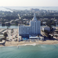
The Versailles Hotel Condo was built in 1940 in a style between Miami Beach’s Art Deco and Modernist style. Behind the condo is the Jamie Tuttle Causeway, which connects the beach with Midtown Miami.

http://www.ricdigitalcommons.com/temp/0837.jpg
This aerial photograph looks north across Miami. Miami is one of the largest cities in the United States. Running across the photograph is Interstate 95. At frame left just north of the highway is the William's Island Country Club. Also seen is…

http://www.ricdigitalcommons.com/temp/0552.jpg
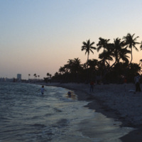
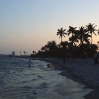
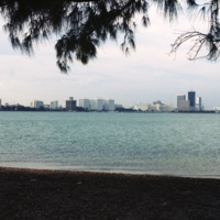
Beach scene at Key Biscayne with the Miami skyline on the horizon. Key Biscayne is an island off the coast of Miami that’s principle economy is as a travel destination for tourists. As of 2004, the islands population was recorded at 10,324.

http://www.ricdigitalcommons.com/temp/0552.jpg
Beach scene at Key Biscayne with the Miami skyline on the horizon. Key Biscayne is an island off the coast of Miami that’s principle economy is as a travel destination for tourists. As of 2004, the islands population was recorded at 10,324.

http://www.ricdigitalcommons.com/temp/0567.jpg
During the 1960s and 1970s large numbers of Cuban immigrants moved into Miami, many of whom settled in a neighborhood of Miami that came to be known as Little Havana. This photograph from Downtown Miami is Smolski’s illustration of the Cuban…

http://www.ricdigitalcommons.com/temp/0562.jpg
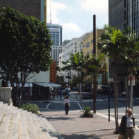
An east facing view down East Flagler St. in Downtown Miami. The street is named for nineteenth century railroad magnate Henry Flagler, and it runs west across town to the Florida Turnpike. This photograph show’s two buildings that have become…

http://www.ricdigitalcommons.com/temp/0571.jpg
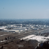
This industrial park in Miami is likely located on the western outskirts of town, where most of Miami’s warehouses and stone quarrying industries are located, extending into neighboring suburbs Doral and Hialeah.

http://www.ricdigitalcommons.com/temp/0550.jpg
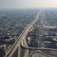
This aerial photograph looks south down Interstate 95 in Miami. In the foreground is the Golden Glades Interchange Extended. Interstate 95 is the longest running north-south route in the highway system, running from the Canadian border in Maine to…

http://www.ricdigitalcommons.com/temp/0564.jpg
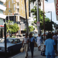
This photograph is taken at the intersection of Flagler St. and NE 1st Ave. Downtown Miami is both an urban residential neighborhood and the central business district. This specific neighborhood is known as the Jewelry District, so named for it’s…

http://www.ricdigitalcommons.com/temp/0560.jpg
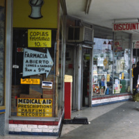
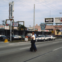
This photograph shows Cuban influence in Miami, specifically here on SW 8th St., part of Little Havana. The nickname comes from the large Cuban population from the 1970s through the 1990s following an influx of Cuban refugee’s and the creation of a…

http://www.ricdigitalcommons.com/temp/0561.jpg
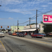
This photograph shows Cuban influence in Miami, specifically here on SW 8th St., part of Little Havana. The nickname comes from the large Cuban population concentrated in the area from the 1970s through the 1990s. The influx of Cubans in the area,…

http://www.ricdigitalcommons.com/temp/0563.jpg
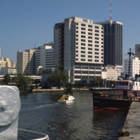
An image taken from the Miami River Walk looking northeat shows One Biscayne Tower as the tallest building in the city, which it was until 1984. It has since been eclipsed by modern building standards but remains a symbol of the city. The building…

http://www.ricdigitalcommons.com/temp/0551.jpg
The Miami skyline as seen from Key Biscayne in 1978. At the right are some of Miami’s most famous skyscrappers, including th SunTrust International Center, completed in 1973, and One Biscayne Tower, a symbol of the city, completed in 1972. At the…

http://www.ricdigitalcommons.com/temp/0570.jpg
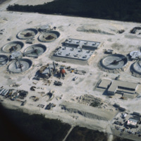
The South District Wastewater Treatment Plant is located just south of Miami. This aerial photograph was taken in 1978 shows the plant in its early stages of construction. Today, plans are underway to reclaim the water that comes out of the plant in…

http://www.ricdigitalcommons.com/temp/0549.jpg
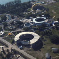
The Miami Seaquarium is an oceanquarium. It is located in Biscayne Bay. Completed in 1955, the Miami Seaquarium was South Florida’s first Marinelife attraction. The Miami Seaquarium is primarily a tourist destination, famous for it’s opportunities to…

http://www.ricdigitalcommons.com/temp/0566.jpg
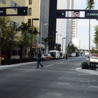
This street scene photograph was taken at the intersection of Miami Ave. and Flagler St. Smolski points out in his notes that he was interested here in the traffic light design, which is unique to the city, and are still in use today.

http://www.ricdigitalcommons.com/temp/0565.jpg
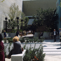
Chet Smolski photographed this as an example of a vest pocket park in Miami. Also known as mini parks, or parketts, these small urban parks are placed on vacant lots between buildings are accessible to the general public.
http://www.ricdigitalcommons.com/temp/4942.jpg
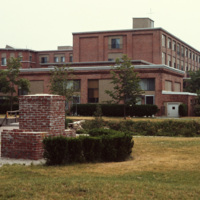
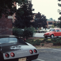
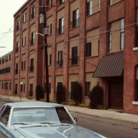
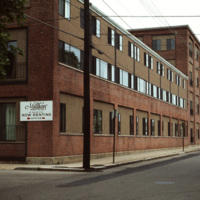
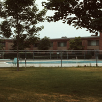
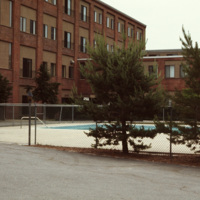
The Millhaus at Mansfield is a condominium community near downtown Mansfield, Massachusetts. Built in the early 1970s, the community exemplifies a stage of urban development in Mansfield when the town was being urbanized and community housing…

Tags: ,

http://www.ricdigitalcommons.com/temp/4944.jpg
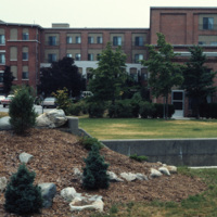
The Millhaus at Mansfield is a condominium community near downtown Mansfield, Massachusetts. Built in the early 1970s, the community exemplifies a stage of urban development in Mansfield when the town was being urbanized and community housing…

Tags: ,

http://www.ricdigitalcommons.com/temp/4945.jpg
The Millhaus at Mansfield is a condominium community near downtown Mansfield, Massachusetts. Built in the early 1970s, the community exemplifies a stage of urban development in Mansfield when the town was being urbanized and community housing…

http://www.ricdigitalcommons.com/temp/4946.jpg
The Millhaus at Mansfield is a condominium community near downtown Mansfield, Massachusetts. Built in the early 1970s, the community exemplifies a stage of urban development in Mansfield when the town was being urbanized and community housing…

Tags: ,

http://www.ricdigitalcommons.com/temp/4947.jpg
The Millhaus at Mansfield is a condominium community near downtown Mansfield, Massachusetts. Built in the early 1970s, the community exemplifies a stage of urban development in Mansfield when the town was being urbanized and community housing…

Tags: ,

http://www.ricdigitalcommons.com/temp/4948.jpg
The Millhaus at Mansfield is a condominium community near downtown Mansfield, Massachusetts. Built in the early 1970s, the community exemplifies a stage of urban development in Mansfield when the town was being urbanized and community housing…

Tags: ,

http://www.ricdigitalcommons.com/temp/4949.jpg
The Millhaus at Mansfield is a condominium community near downtown Mansfield, Massachusetts. Built in the early 1970s, the community exemplifies a stage of urban development in Mansfield when the town was being urbanized and community housing…

Tags: ,

Output Formats

atom, dcmes-xml, json, omeka-xml, rss2