Browse Items (657 total)

  • Collection: Baxter Collection of Images of Cape Verde

http://www.ricdigitalcommons.com/Baxter_temp/CV-81-222.jpg
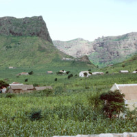
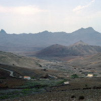
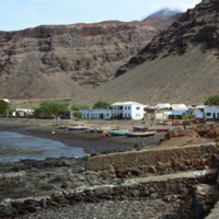
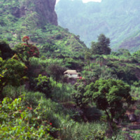
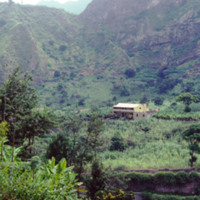
A village near Ribeira Brava in the São Nicolau highlands. Ribeira Brava is located in the hinterland of São Nicolau which is a very fertile region for the Cape Verdean islands, which are largely composed of volcanic rock. This photograph shows the…

http://www.ricdigitalcommons.com/Baxter_temp/CV-80-202.jpg
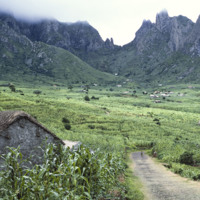
São Nicolau's fertile hinterland allows it to produce more than the neighboring islands agriculturally.

http://www.ricdigitalcommons.com/Baxter_temp/CV-81-204.jpg
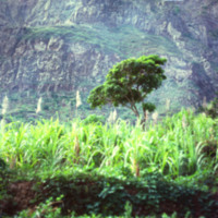
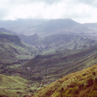
Pictured are the São Nicolau highlands above the Riberia / Panja region. Small communities can be seen settled in the distance.

http://www.ricdigitalcommons.com/Baxter_temp/CV-81-205.jpg
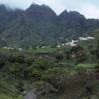
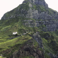
A bird's eye view of the São Nicolau highlands above Ribera Brava.

http://www.ricdigitalcommons.com/Baxter_temp/CV-81-010.jpg
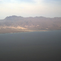
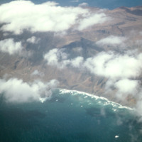
An aerial view of the shoreline on São Vicente. This island is, as you can see, very barren and rocky, and lacks a steady supply of fresh water. Outside of Mindelo, which is a large city centered around Porto Grande, the island is sparsely populated.

http://www.ricdigitalcommons.com/Baxter_temp/CV-81-011.jpg
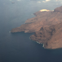
The rocky and barren shoreline of São Vicente seen from an airplane. Outside of Mindelo, one of Cape Verde's largest cities, much of the island is sparsely populated.

http://www.ricdigitalcommons.com/Baxter_temp/CV-81-033.jpg
The view from Monte Verde shows the barren landscape of São Vicente. The island, which has few natural resources, is sparsely populated outside of Mindelo, one of the largest Cape Verde cities and the cultural capital of the country. Over ninety-two…

http://www.ricdigitalcommons.com/Baxter_temp/CV-83-001.jpg
An aerial view of São Vicente.

http://www.ricdigitalcommons.com/Baxter_temp/CV-88-108.jpg
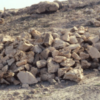
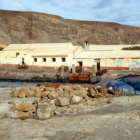
A pile of limestone in Boa Vista

Tags:

http://www.ricdigitalcommons.com/Baxter_temp/CV-88-109.jpg
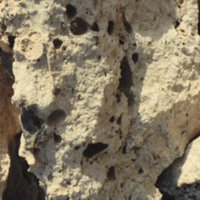
A closeup of limestone in Boa Vista.

Tags:

http://www.ricdigitalcommons.com/Baxter_temp/CV-88-110.jpg
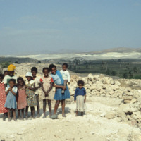
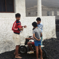
Eleven children pose for a picture in front of a pile of limestone.

http://www.ricdigitalcommons.com/Baxter_temp/CV-88-001.jpg
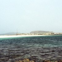
Sal Rei, the main settlement on the island Boavista, is seen on the horizon in this seascape photographed by David Baxter in 1988.

http://www.ricdigitalcommons.com/Baxter_temp/CV-81-121.jpg
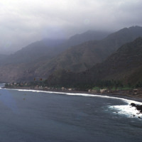
An alternate view of the village pictured in the previous slide. The mountains begin rising directly from the ocean and crest in foggy peaks. The mountains appear to have black soil because much of the land is made up of volcanic rock.

http://www.ricdigitalcommons.com/Baxter_temp/CV-81-053.jpg
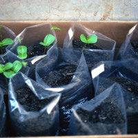
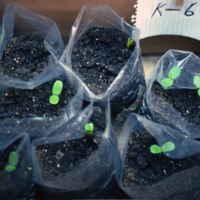
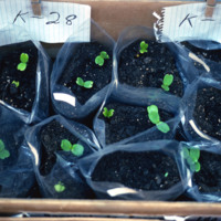
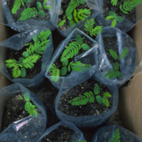
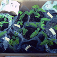
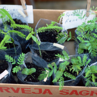
Seedling of "leucina," a non-governmental reforestation experiment conducted by David Baxter, Pedro Almeida, John P. Santos and Joe Alves Jr.

http://www.ricdigitalcommons.com/Baxter_temp/CV-81-054.jpg
Seedling of "leucina," a non-governmental reforestation experiment conducted by David Baxter, Pedro Almeida, John P. Santos and Joe Alves Jr.

http://www.ricdigitalcommons.com/Baxter_temp/CV-81-055.jpg
Seedling of "leucina," a non-governmental reforestation experiment conducted by David Baxter, Pedro Almeida, John P. Santos and Joe Alves Jr.

http://www.ricdigitalcommons.com/Baxter_temp/CV-81-056.jpg
Seedling of "leucina," a non-governmental reforestation experiment conducted by David Baxter, Pedro Almeida, John P. Santos and Joe Alves Jr.

http://www.ricdigitalcommons.com/Baxter_temp/CV-81-057.jpg
Seedling of "leucina," a non-governmental reforestation experiment conducted by David Baxter, Pedro Almeida, John P. Santos and Joe Alves Jr.

http://www.ricdigitalcommons.com/Baxter_temp/CV-81-058.jpg
Seedling of "leucina," a non-governmental reforestation experiment conducted by David Baxter, Pedro Almeida, John P. Santos and Joe Alves Jr.

http://www.ricdigitalcommons.com/Baxter_temp/CV-89-065.jpg
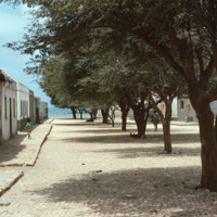
A shady cobblestone street in Calheta is lined on both sides by stone houses. Calheta is a small coastal village on Maio.

http://www.ricdigitalcommons.com/Baxter_temp/CV-81-322.jpg
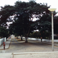
Nova Sintra, a community of seven "praças" or squares because of the hilly terrain. Here a cobblestone street is divided and shaded by large trees. The sides of the roads are lined with Hibiscus trees.

http://www.ricdigitalcommons.com/Baxter_temp/CV-81-240.jpg
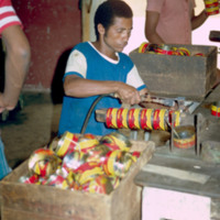
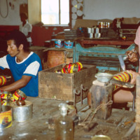
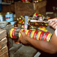
A worker at the SUCLA plant is pictured shaping and labeling tuna cans.

http://www.ricdigitalcommons.com/Baxter_temp/CV-81-241.jpg
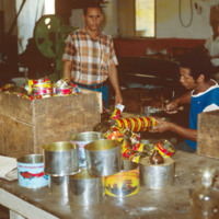
The shaping and labeling process of tuna canning can be seen at a different angle in this image.

http://www.ricdigitalcommons.com/Baxter_temp/CV-81-242.jpg
The shaping and labeling process of tuna canning at the SUCLA cannery in Tarrafal.

http://www.ricdigitalcommons.com/Baxter_temp/CV-81-243.jpg
Here is a close up of a tool that is used in the tuna can production. This photo is taken at the SUCLA tuna cannery in Tarrafal, São Nicolau.

http://www.ricdigitalcommons.com/Baxter_temp/CV-81-018.jpg
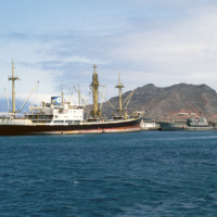
A fishing vessel in the Bay of Mindelo. São Vicente's greatest natural resource is it's harbor, which is home to Porto Grande, and has helped make Mindelo one of the largest cities in the nation as well as the cultural center.

http://www.ricdigitalcommons.com/Baxter_temp/CV-81-015.jpg
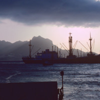
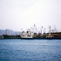
Ships docked at Porto Grande, in the Bay of Mindelo. The port is one of Cape Verde's main ports for receiving imports. Since independence in the 1970s the port has been improved on and is an important part of the local and national economy.

http://www.ricdigitalcommons.com/Baxter_temp/CV-81-064.jpg
Ships at Porto Grande in Mindelo are photographed from "Porto Novo," a ferry that ran daily service between São Vicente and Santo Antão until it was retired.

http://www.ricdigitalcommons.com/Baxter_temp/CV-83-002.jpg
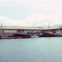
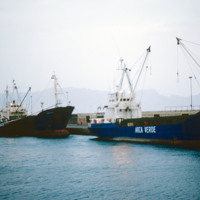
Cargo and fishing vessels docked at Porto Grande, the country's largest port. Porto Grande is located in Mindelo. Porto Grande is used for imports but also as a storage port for visiting vessels. It was equiped with a fish freezing plant a few years…

http://www.ricdigitalcommons.com/Baxter_temp/CV-83-003.jpg
Cargo and fishing vessels docked at Porto Grande, the country's largest port. Porto Grande is located in Mindelo. Porto Grande is used for imports but also as a storage port for visiting vessels. It was equiped with a fish freezing plant a few years…

http://www.ricdigitalcommons.com/Baxter_temp/CV-81-226.jpg
The city of Tarrafal, located in the southwestern region of São Nicolau, boasts this beautiful beach and bay. The body of water is used for fishing, swimming, and as a resting place for many colorful fishing boats. The beach is a popular attraction…

http://www.ricdigitalcommons.com/Baxter_temp/CV-83-022.jpg
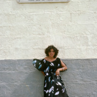
An unidentified woman stands beneath a sign that translates to:
"In 1947, Emilio Santiago discovered and identified the existence of pozolan in the landscape of Cape Verde. With 93 years, Luiz C. Santiago selflessly and courageously made the…

http://www.ricdigitalcommons.com/Baxter_temp/CV-89-014.jpg
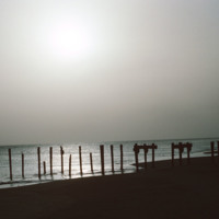
A silhouetted image of the ruins of a dock near Vila do Maio. Until the 19th century the island was a large exporter of salt that was mined on the island. Tarrifs introduced by Brazil in the 19th century, which was the principle market for the island…

http://www.ricdigitalcommons.com/Baxter_temp/CV-85-078.jpg
An unidentified small town, nestled in the coastal hills of S

http://www.ricdigitalcommons.com/Baxter_temp/CV-85-028.jpg
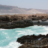
Pictured is a very small inlet showing the beauty and ferocity of the ocean currents.

http://www.ricdigitalcommons.com/Baxter_temp/CV-88-009.jpg
A small vessel, the Independencia, filled with cable wire, is docked at the Port of Sal rei.

http://www.ricdigitalcommons.com/Baxter_temp/CV-81-324.jpg
Nova Sintra, a community of seven "praças" or squares because of the hilly terrain. Pictured here, one of the squares along with a well and some houses. Many of the streets in Nova Sintra are lined with hibiscus trees and during rainy years the…

http://www.ricdigitalcommons.com/Baxter_temp/CV-85-013.jpg
Sal Rei is the largest community in all of Boa Vista.

http://www.ricdigitalcommons.com/Baxter_temp/CV-81-129.jpg
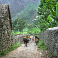
A traditional stone cottage nestled in the rising mountains. One of the resources of Cape Verde is stone. There are many abandoned stone cottages that exhibit beautiful traditional craftsmanship.The peaks rise behind the home.

http://www.ricdigitalcommons.com/Baxter_temp/CV-89-069.jpg
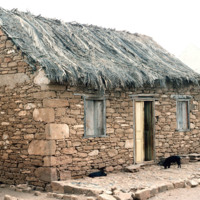
An example of a stone house with a thatched roof in the coastal village Calheta.

http://www.ricdigitalcommons.com/Baxter_temp/CV-81-140.jpg
A glimpse of the daily life in Ribeira de Paül. In dry areas, there are a few forms of livestock farming with small scale being the most common and widespread. Livestock farming is highly dependent on animal feed and accounts for a large portion of…

http://www.ricdigitalcommons.com/Baxter_temp/CV-81-235.jpg
Since 1935, the SUCLA company has been a family-oriented company that provides canned seafood to many areas of the world. The business was founded by the Preitas family and has grown to employ close to 200 people. The SUCLA company is the at the…

http://www.ricdigitalcommons.com/Baxter_temp/CV-81-125.jpg
This is one of the sugar cane estate located on the lush landscape of Paùl. Water in this valley town flows in streams throughout the year providing the area with rich vegetation.

http://www.ricdigitalcommons.com/Baxter_temp/CV-88-135.jpg
A typical Sunday at Calhau, a popular weekend vacation spot about 12 miles from Mindelo. Note that black volcanic pumice dominates the landscape.

http://www.ricdigitalcommons.com/Baxter_temp/CV-81-309.jpg
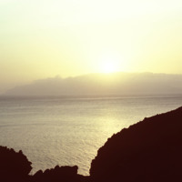
Sunset photographed from an unknown location on Fogo.

Tags:

http://www.ricdigitalcommons.com/Baxter_temp/CV-85-007.jpg
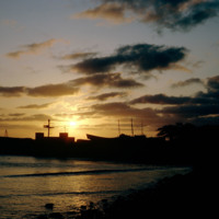
Here is the sunset looking out from Sal Rei with silhouettes of buildings and ships visible in the distance.

http://www.ricdigitalcommons.com/Baxter_temp/CV-81-003.jpg
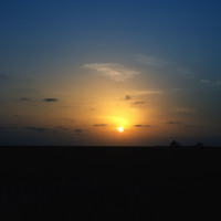
Sunset photograph from the island of Sal, a flat, windy and barren island whose main economy and export is salt. This photograph is taken from near Amilcar Cabral International Airport. The airport was originally built by Mussolini as a refueling…

http://www.ricdigitalcommons.com/Baxter_temp/CV-81-232.jpg
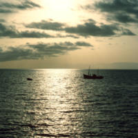
Looking west over Tarrafal Bay on São Nicolau. Fishing vessels can be seen on the bay. Tarrafal is the seat of Tarrafal de São Nicolau Municipality and it's economy is largely based on local fishing industries.
Output Formats

atom, dcmes-xml, json, omeka-xml, rss2