Browse Items (1954 total)

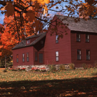
http://www.ricdigitalcommons.com/temp/5414.jpg
  An example of housing in Litchfield, CT.  Litchfield is a historically affluent town with a median income of $58k per household. It is interesting to note that Chet Smolski includes this photograph within a collection largely composed of public and…

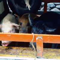
http://www.ricdigitalcommons.com/Baxter_temp/CV-81-106.jpg
Pigs loaded in a vehicle in Ribeira Grande.

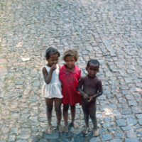
http://www.ricdigitalcommons.com/Baxter_temp/CV-81-093.jpg
Journey to Ribeira Grande, one of the most spectacular road trips a visitor to Cape Verde can experience. This was taken during David Baxter's journey and is believed to be the town of Povoac

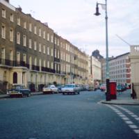
http://www.ricdigitalcommons.com/temp/1248.jpg
Eaton Square is actually a long narrow square west of Buckingham Palace in Belgravia, a district of Central London. Most of Belgravia was developed, under the supervision of Thomas Cubitt, when George IV commissioned the rebuilding of Buckingham…

http://www.ricdigitalcommons.com/temp/4910.jpg
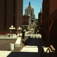
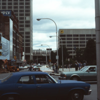
Cathedral Square was designed by I.M. Pei and Zion & Breen in 1969. It was intended to become a popular plaza but nothing more was added to the space and so it remained empty, supplying only sitting room for pedestrians.

http://www.ricdigitalcommons.com/Baxter_temp/CV-85-021.jpg
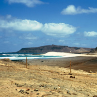
This photo was taken walking from Sal Rei to Praia de Cabral ("Cabral Beach"). This beautiful beach is located just 1 to 2 miles from the city and is a popular tourist attraction.

http://www.ricdigitalcommons.com/Baxter_temp/CV-85-022.jpg
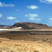
This photo was taken walking from Sal Rei to Praia de Cabral ("Cabral Beach"). This beautiful beach is located just 1 to 2 miles from the city and is a popular tourist attraction.

In the right of this photo there appears to be a sporting net and…

http://www.ricdigitalcommons.com/Baxter_temp/CV-85-018.jpg
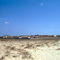
This picture was taken from Praia de Cabral ("Cabral Beach"), looking in towards Sal Rei. Located on the northwest coast of Boa Vista, this popular beach is one of the many tourist attractions in Sal Rei. In 2011, the city approved a new resort to be…

http://www.ricdigitalcommons.com/Baxter_temp/CV-85-005.jpg
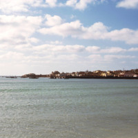
Sal Rei is covered with a large number of bays and beaches. This photograph was taken from the shoreline looking out towards the sea. In the distance there are buildings of the city as well as docked and anchored boats for the purpose of commercial…

http://www.ricdigitalcommons.com/Baxter_temp/CV-88-002.jpg
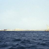
This photo was taken on the waters of the North Atlantic Ocean looking into the coastline of Sal Rei. A small sailboat with three passengers are seen to the right.

http://www.ricdigitalcommons.com/temp/0809.jpg
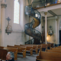
A source of controversy, this winding staircase in Loretto Chapel has been called miraculous by some, a hoax by others. A local legend suggests that the staircase was built by St. Joseph himself, while recently Mary Jean Straw has published a book…

http://www.ricdigitalcommons.com/Baxter_temp/CV-88-048.jpg
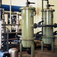
The Danish government built this desalination plant in Cape Verde just prior to this 1988 photograph.

Natural fresh water sources are few to nonexistent in many islands of Cape Verde. Therefore, seawater desalination plants are absolutely crucial…

http://www.ricdigitalcommons.com/Baxter_temp/CV-88-043.jpg
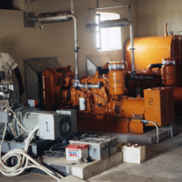
An unidentified man stands amidst some machinery, possibly a power source, that is part of a desalination plant.

This plant utilizes reverse osmosis to convert ocean water into viable, drinking water for the community. Osmosis requires a semi…

http://www.ricdigitalcommons.com/temp/1303.jpg
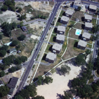
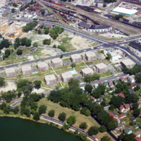
Public housing photographed from the air in Madison. The Triangle redevelopment plan created a neighborhood of affordable housing, but displaced an Italian neighborhood known as Greenbush.

http://www.ricdigitalcommons.com/temp/1308.jpg
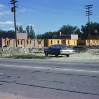
Construction of public housing in Madison’s Triangle neighborhood during the 1960s. The area had previously been a largely Italian neighborhood known as Greenbush. Construction of affordable public housing in the 1960s displaced many families and…

http://www.ricdigitalcommons.com/temp/1309.jpg
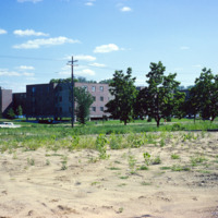
Construction of the Triangle area in Madison, WI. This affordable housing project displaced families and businesses that had made up a neighborhood known as Greenbush. This photograph shows land cleared for the construction of public housing in…

http://www.ricdigitalcommons.com/temp/1304.jpg
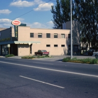
A large commercial structure slated for demolition in order to make room for the Triangle redevelopment project, a federally funded urban renewal project that aimed to create affordable public housing in Madison.
http://www.ricdigitalcommons.com/temp/1259.jpg
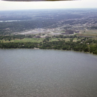
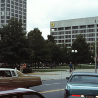
This aerial photograph looks south across Madison Wisconsin from above Lake Mendota. The high rise, modernist structures at the left of the image facilitate the Motor Vehicles Division, while the smoke stack and cluster of buildings to the right are…

http://www.ricdigitalcommons.com/temp/1289.jpg
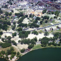
An aerial view of Madison’s Triangle nbeighborhood, a public housing development that was built over what was once called Greenbush, an Italian community.

http://www.ricdigitalcommons.com/temp/1306.jpg
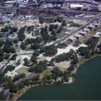
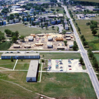
This aerial view of Madison’s Triangle housing project shows both recently completed public housing as well as construction of addition housing.

http://www.ricdigitalcommons.com/temp/1307.jpg
This aerial view of Madison’s Triangle housing project shows both recently completed public housing as well as construction of addition housing.

http://www.ricdigitalcommons.com/temp/1288.jpg
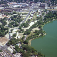
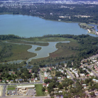
Aerial photograph of the Madison Triangle and Brittingham Park. The Triangle was once known as Greenbush, a primarily Italian neighborhood before it was redeveloped in the 1960s for public housing.

http://www.ricdigitalcommons.com/temp/1285.jpg
Public housing for the elderly in the Triangle neighborhood of Madison, WI. The neighborhood, once an Italian neighborhood known as Greenbush but was cleared for urban renewal in the 1960s.
http://www.ricdigitalcommons.com/temp/1263.jpg
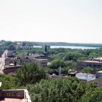
This photograph looks west down State St. in Madison Wisconsin. This photograph shows State St. before, in 1974, it was converted into a pedestrian mall. The street maintains two lane limited access, but is mostly known for it’s small town charm, and…

http://www.ricdigitalcommons.com/temp/1274.jpg
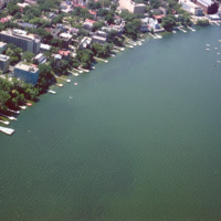
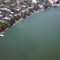
Some of the student housing, including sorority and fraternity houses, for the University of Wisconsin are located on the shore of Lake Mendota. This aerial photograph shows the shoreline in 1964.

http://www.ricdigitalcommons.com/temp/1274.jpg
Some of the student housing, including sorority and fraternity houses, for the University of Wisconsin are located on the shore of Lake Mendota. This aerial photograph shows the shoreline in 1964.

http://www.ricdigitalcommons.com/temp/1305.jpg
Proposed in 1960, the Triangle Urban Renewal Area displaced numerous people and businesses from the project area in order for the city to create public housing.
http://www.ricdigitalcommons.com/temp/1287.jpg
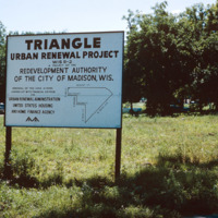
The Triangle neighborhood in Madison was developed in the 1960s. It was once a primarily Italian neighborhood known as Greenbush. This photograph shows a sign explaining the funding and areas affected by the project.
http://www.ricdigitalcommons.com/temp/1301.jpg
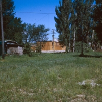
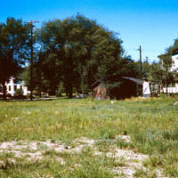
Vacant land that became the Triangle project area in Madison. The project created public housing in Madison with aid from federal funding.

http://www.ricdigitalcommons.com/temp/1286.jpg
Aerial photograph of public housing under construction at Truax Barracks in Madison.

http://www.ricdigitalcommons.com/temp/1262.jpg
Vilas Park and Henry Vilas Zoo is located on land donated in 1903 by William and Anna Vilas. It was one of the only accredited zoo’s to offer free admission, as stipulated by the Vilas when they donated the land 100 years ago.

http://www.ricdigitalcommons.com/temp/1271.jpg
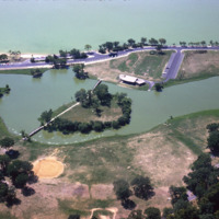
This aerial photograph shows Vilas Park, located on Lake Wingra in Madison; The land for the park was donated by the family of Henry Vilas, who was a senator in the late 19th century.

http://www.ricdigitalcommons.com/temp/1260.jpg
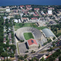
Camp Randall Field was a former Union Army training ground that was donated to the University of Wisconsin in 1893. It was quickly put to use as an athletic field. After numerous problems with the original wooden bleachers, culminating in a collapse…

http://www.ricdigitalcommons.com/Baxter_temp/CV-89-058.jpg
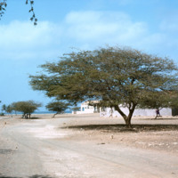
A dusty street in the small village of Calheta.

http://www.ricdigitalcommons.com/temp/4883.jpg
Main St. in Worcester, Massachusetts. It connects to the Worcester Common, which is known for City Hall, the Worcester Common Oval, the Turtle Boy statue, and more. Up until 1993, the Worcester Center Galleria was also a part of the common. This view…

http://www.ricdigitalcommons.com/temp/4884.jpg
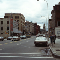
At the intersection of George St. and Main St. in Worcester, Massachusetts. Looking down Main St. towards the Worcester City Hall with its notable clock tower.

Worcester City Hall, completed in 1898, features aspects of the Italianate Renaissance…

http://www.ricdigitalcommons.com/temp/4885.jpg
Main St. in Worcester, Massachusetts. It connects to the Worcester Common, which is known for City Hall, the Worcester Common Oval, the Turtle Boy statue, and more. Up until 1993, the Worcester Center Galleria was also a part of the common. This view…

http://www.ricdigitalcommons.com/Baxter_temp/CV-89-047.jpg
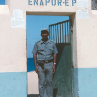
A man poses outside an ENAPOR, the Cape Verdean port authority. This location is on Maio. ENAPOR is a government organization in Cape Verde that charges for handling, storage and delivery of goods at ports.

http://www.ricdigitalcommons.com/Baxter_temp/CV-81-127.jpg
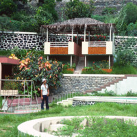
A man is pictured in the yard of a farmstead. A newer wall made out of rock and concrete is pictured.

http://www.ricdigitalcommons.com/Baxter_temp/CV-81-345.jpg
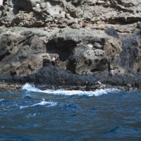
A man, perhaps a fisherman, on the rocky and step coast of Brava. Photographed during a journey by small boat from Faj

http://www.ricdigitalcommons.com/Baxter_temp/CV-89-078.jpg
An unidentified man removes his hat for a photograph. He is posed in the same location as David Baxter (see: David Baxter, CV-89-077) and is perhaps the photographer who took that photo. It is also possible he was Baxter's guide during his visit to…

http://www.ricdigitalcommons.com/Baxter_temp/CV-81-069.jpg
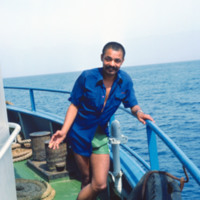
An unidentified man onboard the ferry "Proto Novo" is photographed en route to Santo Antão.

http://www.ricdigitalcommons.com/Baxter_temp/CV-81-027.jpg
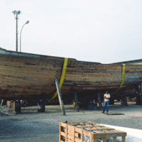
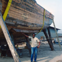
A wooden fishing boat is put in dry dock for repair in Mindelo. A man poses beside the boat for scale.

http://www.ricdigitalcommons.com/Baxter_temp/CV-89-075.jpg
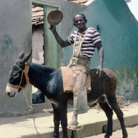
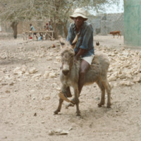
A man rides a donkey in the coastal village of Calheta, a small fishing village about a mile north of Vila do Maio, the main settlement on the island.

http://www.ricdigitalcommons.com/Baxter_temp/CV-89-072.jpg
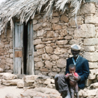
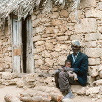
An unidentified man sits with a child by a stone house with a thatched roof. This picture is believed to be taken in Calheta, a small coastal village on Maio.

http://www.ricdigitalcommons.com/Baxter_temp/CV-89-073.jpg
An unidentified man sits with a child by a stone house with a thatched roof. This picture is believed to be taken in Calheta, a small coastal village on Maio.

http://www.ricdigitalcommons.com/Baxter_temp/CV-81-105.jpg
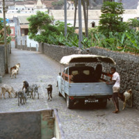
A man with livestock in Ribeira Grande stands by his automobile. Ribeira Grande, known locally as Povoaçao, is known for it's cobbled streets. The steep grade at which the building ascend the nearby mountains is due to it's location between the…

http://www.ricdigitalcommons.com/Baxter_temp/CV-81-026.jpg
A man poses by a wooden fishing boat in Mindelo. The boat has been put in dry dock for repairs.

http://www.ricdigitalcommons.com/Baxter_temp/CV-81-372.jpg
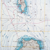
A contour map of the islands Boa Vista and Sal.

http://www.ricdigitalcommons.com/Baxter_temp/CV-81-001.jpg
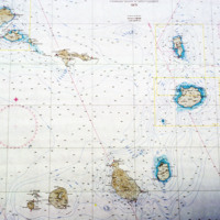
A topographical map of Cape Verde from 1971.
Output Formats

atom, dcmes-xml, json, omeka-xml, rss2