Browse Items (993 total)

  • Collection: Chester Smolski Photographs

http://www.ricdigitalcommons.com/temp/0618.jpg
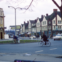
Letchworth was one of the first of England’s “new towns,” and Sir Ebeneezer Howard’s first Garden City. While living in the United States, Howard was influenced by the poet Walt Whitman, among others, to tackle the problems of urban life. His idea…

http://www.ricdigitalcommons.com/temp/4899.jpg
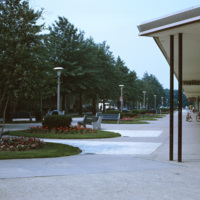
The Levittown Shop-a-Rama, originally called the Levittown Shopping Center, was a pedestrian shopping mall, planned and developed by William Levitt, the then-president of Levitt and Sons, a real estate development agency responsible for building the…

http://www.ricdigitalcommons.com/temp/0745.jpg
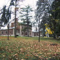
The Henry Clay Estate, also known as Ashland, is the mansion on the plantation owned by Henry Clay, Sr. Henry Clay represented Kentucky in both the House and Senate in the first half of the 19th century. His mansion was originally constructed in 1806…

http://www.ricdigitalcommons.com/temp/0746.jpg
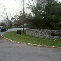
The entrance to Gainesway Farm, an American Thoroughbred horse breeding business. Originally called Greentree Farms when it opened in 1914, until it was sold in 1989 following the death of the previous owners.

http://www.ricdigitalcommons.com/temp/0744.jpg
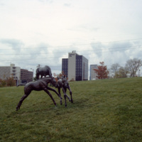
Thoroughbred Park in Lexington celebrates the cities reputation as the “Horse Capital of the World.” The park has life size bronze statues of horses and riders. They were made Lexington native sculptor Gwen Reardon.

http://www.ricdigitalcommons.com/temp/0747.jpg
Thoroughbred Park in Lexington, a tribute to the thoroughbred racehorse, is adorned with life-size statues of the horses and riders. Lexington is considered the “Thoroughbred City” and “Horse Captial of the World.”

http://www.ricdigitalcommons.com/temp/5338.jpg
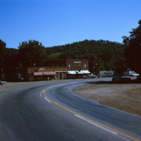
Linn Creek is located in Camden County, Missouri. Linn Creek is close to the Lake of the Ozarks, a large reservoir created by the Osage River in the Northern part of the Ozark Mountains.  In 2000, the population of Linn Creek was approximately 280…

http://www.ricdigitalcommons.com/temp/0790.jpg
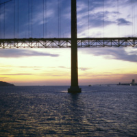
The 25 de Abril Bridge in Portugal is the largest suspension bridge in the world. Crossing over the Tagus River, the bridge was built by the American Bridge Company and inaugurated in 1966. It connects the capitol, Lisbon to Almada. Until 1974 the…

http://www.ricdigitalcommons.com/temp/5414.jpg
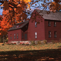
  An example of housing in Litchfield, CT.  Litchfield is a historically affluent town with a median income of $58k per household. It is interesting to note that Chet Smolski includes this photograph within a collection largely composed of public and…

http://www.ricdigitalcommons.com/temp/1248.jpg
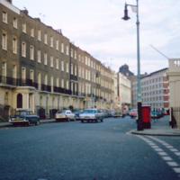
Eaton Square is actually a long narrow square west of Buckingham Palace in Belgravia, a district of Central London. Most of Belgravia was developed, under the supervision of Thomas Cubitt, when George IV commissioned the rebuilding of Buckingham…

http://www.ricdigitalcommons.com/temp/4910.jpg
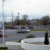
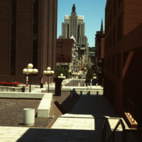
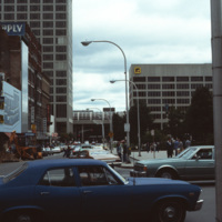
Cathedral Square was designed by I.M. Pei and Zion & Breen in 1969. It was intended to become a popular plaza but nothing more was added to the space and so it remained empty, supplying only sitting room for pedestrians.

http://www.ricdigitalcommons.com/temp/0809.jpg
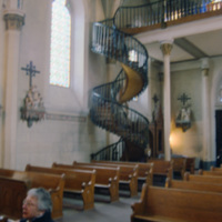
A source of controversy, this winding staircase in Loretto Chapel has been called miraculous by some, a hoax by others. A local legend suggests that the staircase was built by St. Joseph himself, while recently Mary Jean Straw has published a book…

http://www.ricdigitalcommons.com/temp/1303.jpg
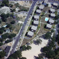
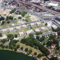
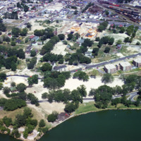
Public housing photographed from the air in Madison. The Triangle redevelopment plan created a neighborhood of affordable housing, but displaced an Italian neighborhood known as Greenbush.

http://www.ricdigitalcommons.com/temp/1308.jpg
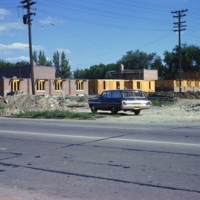
Construction of public housing in Madison’s Triangle neighborhood during the 1960s. The area had previously been a largely Italian neighborhood known as Greenbush. Construction of affordable public housing in the 1960s displaced many families and…

http://www.ricdigitalcommons.com/temp/1309.jpg
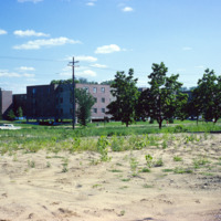
Construction of the Triangle area in Madison, WI. This affordable housing project displaced families and businesses that had made up a neighborhood known as Greenbush. This photograph shows land cleared for the construction of public housing in…

http://www.ricdigitalcommons.com/temp/1304.jpg
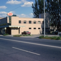
A large commercial structure slated for demolition in order to make room for the Triangle redevelopment project, a federally funded urban renewal project that aimed to create affordable public housing in Madison.

http://www.ricdigitalcommons.com/temp/1259.jpg
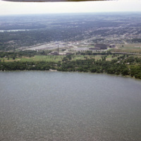
This aerial photograph looks south across Madison Wisconsin from above Lake Mendota. The high rise, modernist structures at the left of the image facilitate the Motor Vehicles Division, while the smoke stack and cluster of buildings to the right are…

http://www.ricdigitalcommons.com/temp/1289.jpg
An aerial view of Madison’s Triangle nbeighborhood, a public housing development that was built over what was once called Greenbush, an Italian community.

http://www.ricdigitalcommons.com/temp/1306.jpg
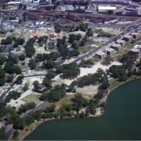
This aerial view of Madison’s Triangle housing project shows both recently completed public housing as well as construction of addition housing.

http://www.ricdigitalcommons.com/temp/1307.jpg
This aerial view of Madison’s Triangle housing project shows both recently completed public housing as well as construction of addition housing.

http://www.ricdigitalcommons.com/temp/1288.jpg
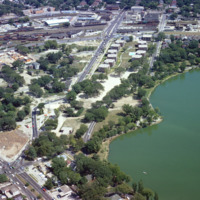
Aerial photograph of the Madison Triangle and Brittingham Park. The Triangle was once known as Greenbush, a primarily Italian neighborhood before it was redeveloped in the 1960s for public housing.

http://www.ricdigitalcommons.com/temp/1285.jpg
Public housing for the elderly in the Triangle neighborhood of Madison, WI. The neighborhood, once an Italian neighborhood known as Greenbush but was cleared for urban renewal in the 1960s.

http://www.ricdigitalcommons.com/temp/1263.jpg
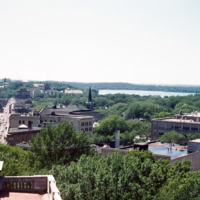
This photograph looks west down State St. in Madison Wisconsin. This photograph shows State St. before, in 1974, it was converted into a pedestrian mall. The street maintains two lane limited access, but is mostly known for it’s small town charm, and…

http://www.ricdigitalcommons.com/temp/1274.jpg
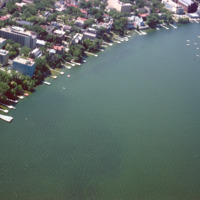
Some of the student housing, including sorority and fraternity houses, for the University of Wisconsin are located on the shore of Lake Mendota. This aerial photograph shows the shoreline in 1964.

http://www.ricdigitalcommons.com/temp/1274.jpg
Some of the student housing, including sorority and fraternity houses, for the University of Wisconsin are located on the shore of Lake Mendota. This aerial photograph shows the shoreline in 1964.

http://www.ricdigitalcommons.com/temp/1305.jpg
Proposed in 1960, the Triangle Urban Renewal Area displaced numerous people and businesses from the project area in order for the city to create public housing.

http://www.ricdigitalcommons.com/temp/1287.jpg
The Triangle neighborhood in Madison was developed in the 1960s. It was once a primarily Italian neighborhood known as Greenbush. This photograph shows a sign explaining the funding and areas affected by the project.

http://www.ricdigitalcommons.com/temp/1301.jpg
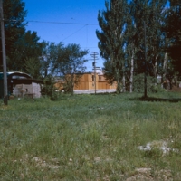
Vacant land that became the Triangle project area in Madison. The project created public housing in Madison with aid from federal funding.

http://www.ricdigitalcommons.com/temp/1286.jpg
Aerial photograph of public housing under construction at Truax Barracks in Madison.

http://www.ricdigitalcommons.com/temp/1262.jpg
Vilas Park and Henry Vilas Zoo is located on land donated in 1903 by William and Anna Vilas. It was one of the only accredited zoo’s to offer free admission, as stipulated by the Vilas when they donated the land 100 years ago.

http://www.ricdigitalcommons.com/temp/1271.jpg
This aerial photograph shows Vilas Park, located on Lake Wingra in Madison; The land for the park was donated by the family of Henry Vilas, who was a senator in the late 19th century.

http://www.ricdigitalcommons.com/temp/1260.jpg
Camp Randall Field was a former Union Army training ground that was donated to the University of Wisconsin in 1893. It was quickly put to use as an athletic field. After numerous problems with the original wooden bleachers, culminating in a collapse…

http://www.ricdigitalcommons.com/temp/4883.jpg
Main St. in Worcester, Massachusetts. It connects to the Worcester Common, which is known for City Hall, the Worcester Common Oval, the Turtle Boy statue, and more. Up until 1993, the Worcester Center Galleria was also a part of the common. This view…

http://www.ricdigitalcommons.com/temp/4884.jpg
At the intersection of George St. and Main St. in Worcester, Massachusetts. Looking down Main St. towards the Worcester City Hall with its notable clock tower.

Worcester City Hall, completed in 1898, features aspects of the Italianate Renaissance…

http://www.ricdigitalcommons.com/temp/4885.jpg
Main St. in Worcester, Massachusetts. It connects to the Worcester Common, which is known for City Hall, the Worcester Common Oval, the Turtle Boy statue, and more. Up until 1993, the Worcester Center Galleria was also a part of the common. This view…

http://www.ricdigitalcommons.com/temp/5184.jpg
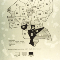
A map of the percentage of people with Spanish origin in Providence in 1980. Spanish origin population: 9,071 (5.8% of Providence). Key: in white areas less than 5% of people are of Spanish origin; horizontal lines are areas with 5%-15% Spanish…

http://www.ricdigitalcommons.com/temp/5307.jpg
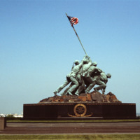
  The Marine Corps War Memorial stands as a symbol of this grateful Nation's esteem for the honored dead of the U.S. Marine Corps. While the statue depicts one of the most famous incidents of World War II, the memorial is dedicated to all Marines who…

http://www.ricdigitalcommons.com/temp/1057.jpg
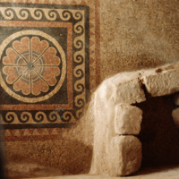
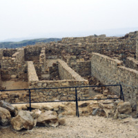
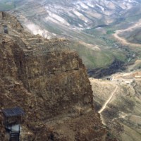
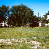
Masada is a natural fortress which was used by Jews during rebellion against the Romans. It is located near the Dead Sea and some biblical fragments, pieces of the Dead Sea Scrolls, have been located here. In AD 73/74 nine hundred Jewish rebels…
http://www.ricdigitalcommons.com/temp/1058.jpg
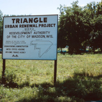
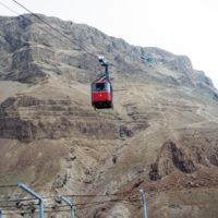
Masada, once a fortress in the last Jewish holdout against the Romans, represents bravery and self sacrifice to modern Jews, which ended in the mass suicide of nine hundred rebels. It is now reached by cable car for visitors. In the twentieth…
http://www.ricdigitalcommons.com/temp/1063.jpg
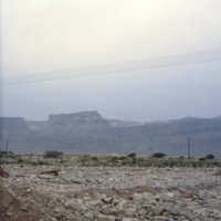
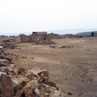
This photo is taken at the top of Masada, a horst that was used as a fortress by many ancient people. King Herod, in the first century BC, built an elaborate palace here, perhaps fearing he would have to go into isolation because of his unpopularity…

http://www.ricdigitalcommons.com/temp/1072.jpg
Largely untouched for two thousand years, this photograph shows the original Roman access road to Masada, which can still be traveled on foot by visitors. On the western side, this “ramp” was constructed by the Romans as a way to penetrate the…

http://www.ricdigitalcommons.com/temp/1061.jpg
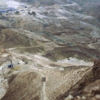
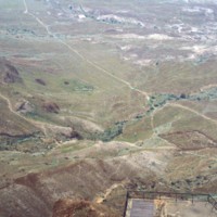
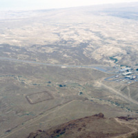
Seen from atop Masada, a natural fortress in an otherwise wasteland, is the remains of a Roman Siege camp from AD 74. Jewish rebels took the fortress in AD 66 and held it for seven years until Romans took them by force. The rebels committed mass…

http://www.ricdigitalcommons.com/temp/1059.jpg
Taken from atop of Masada this photograph shows the remains of the Roman Siege camps constructed in AD 74. At the time Masada had been taken by approximately 900 Jewish Rebels. Masada eventually fell to the Romans and the rebels, also known as the…

http://www.ricdigitalcommons.com/temp/1070.jpg
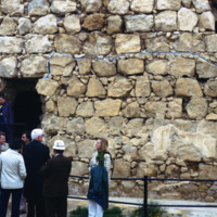
This photograph shows a Roman style bath built by King Herod at Masada. Masada was one of the fortresses built during Herod’s rule in the first century BC. Herod was generally unpopular with the Jews, so perhaps this is why he spent much effort…

http://www.ricdigitalcommons.com/temp/1067.jpg
Excavations of Masada were not seriously undertaken until the 1960s when Masada became part of Israeli territory. With the help of twentieth century technology archeologists were able to access this natural fortress that had been largely untouched…

http://www.ricdigitalcommons.com/temp/1060.jpg
This photograph shows Masada’s natural fortification and ruins of King Herod’s Palace built in the first century BC. Because of it’s remote location and natural defenses, Masada has been mostly untouched since the first century BC. Recent…

http://www.ricdigitalcommons.com/temp/1069.jpg
Excavations of Masada were not seriously undertaken until the 1960s when Masada became part of Israeli territory. With the help of twentieth century technology archeologists were able to access this natural fortress that had been largely untouched…

http://www.ricdigitalcommons.com/temp/1064.jpg
Upon embarking on a rigorous and dangerous climb, tourists can reach the top of Masada by a small number of pathways. Spanning around 200,000 square yards, the top of Masada is completely flat. Today, the top still contains the ruins of Herod’s…

http://www.ricdigitalcommons.com/temp/1066.jpg
Upon embarking on a rigorous and dangerous climb, tourists can reach the top of Masada by a small number of pathways. Spanning around 200,000 square yards, the top of Masada is completely flat. Today, the top still contains the ruins of Herod’s…

http://www.ricdigitalcommons.com/temp/1062.jpg
This photograph looks east from Masada towards the Dead Sea. Masada is a natural fortress that was most invested in by King Herod, who in the first century BC constructed a intricate palace atop this isolated horst. Masada was the site of a mass…
Output Formats

atom, dcmes-xml, json, omeka-xml, rss2