Browse Items (657 total)

  • Collection: Baxter Collection of Images of Cape Verde

http://www.ricdigitalcommons.com/Baxter_temp/CV-81-136.jpg
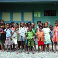
A portrait of a large group of children between the ages of 5 and 8 years old. There are 26 children pictured. It appears to be taken outside of a school within Ribiera do Paül.

http://www.ricdigitalcommons.com/Baxter_temp/CV-89-039.jpg
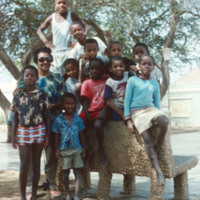
An unidentified woman poses with a group of boys in Vila do Maio.

http://www.ricdigitalcommons.com/Baxter_temp/CV-81-153.jpg
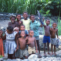
A dozen children pictured by a stone pond. In the background is what appears to be some of the irrigation infrastructure of a farm. The children are between the ages of 5 and 12.

http://www.ricdigitalcommons.com/Baxter_temp/CV-85-011.jpg
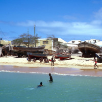
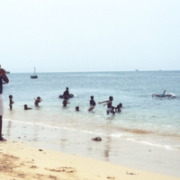
Several unidentified children are playing in the water and on one of the beaches that surround Sal Rei. The shoreline is covered with beached boats and vessels leaving little sand exposed.

http://www.ricdigitalcommons.com/Baxter_temp/CV-88-017.jpg
Children play in the Atlantic Ocean to the sotuh of Port of Sal Rei.

http://www.ricdigitalcommons.com/Baxter_temp/CV-85-019.jpg
This is another view from the coast of Praia de Cabral ("Cabral Beach") looking towards Sal Rei. A group of children are seen playing in the nearby sand.

http://www.ricdigitalcommons.com/Baxter_temp/CV-88-018.jpg
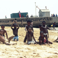
Boys on a beach by Port of Sal Rei pose for a photograph by David Baxter.
http://www.ricdigitalcommons.com/Baxter_temp/CV-80-208.jpg
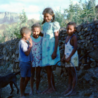
An adorable portrait of a group of children in the hinterland of São Nicolau. Once the intellectual center of Cape Verde, the island, neighboring busy São Vicente, has a quiet dignity and rich agriculture life.

http://www.ricdigitalcommons.com/Baxter_temp/CV-88-022.jpg
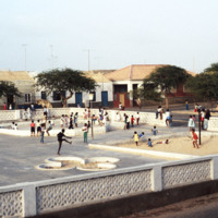
Children in the Central Praça of Sal Rei. Since this photo was taken, the area has been remodeled, adding much more color and life to this popular children's attraction.

http://www.ricdigitalcommons.com/Baxter_temp/CV-81-146.jpg
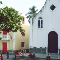
One of many churches on the island of Cape Verde. The religions of the island are Roman Catholic and Protestant. Roman Catholicism makes up over 90% of the population, but has no state religion as there is a separation of church and state.

http://www.ricdigitalcommons.com/Baxter_temp/CV-89-028.jpg
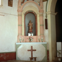
Interior of church, Nossa Senhora da Luz, at Vila do Maio. This building was completed in 1872. In the center of the photo is a statue of the church's namesake, Nossa Senhora da Luz (our Lady of Light).

http://www.ricdigitalcommons.com/Baxter_temp/CV-89-054.jpg
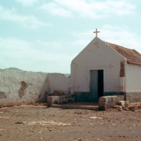
A church on Maio. Unfortunately the exact location is not known but it is believed to be in the village Calheta.

http://www.ricdigitalcommons.com/Baxter_temp/CV-88-097.jpg
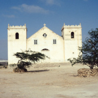
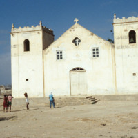
Featured here is the Church of Rabil. Since this photo was taken in 1988, the church has undergone a few changes. The building now features grey-blue accents around the windows as well as running parallel to the edges of the two rectangular…

http://www.ricdigitalcommons.com/Baxter_temp/CV-88-098.jpg
Featured here is the Church of Rabil. Since this photo was taken in 1988, the church has undergone a few changes. The building now features grey-blue accents around the windows as well as running parallel to the edges of the two rectangular…

http://www.ricdigitalcommons.com/Baxter_temp/CV-81-139.jpg
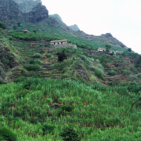
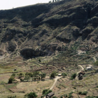
A shot of a cliff side plantation in Ribeira de Paùl. This shows the severity of the shear cliff faces on this island, the various houses on the land and the terraced farming that is commonplace in this area.

http://www.ricdigitalcommons.com/Baxter_temp/CV-81-030.jpg
Road to the top of Monte Verde, the highest peak on São Vincente. From the top of the mountain there are spectacular views of the surrounding area, including the peaks of Santa Altão and the harbor at Mindelo. At the peak of the mountain there is a…

http://www.ricdigitalcommons.com/Baxter_temp/CV-88-086.jpg
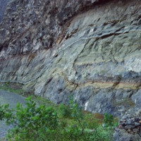
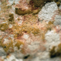
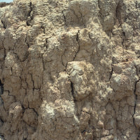
Here is a close up displaying the inner walls of a local mine. It is speculated that the abundant mineral here is sulfur.

http://www.ricdigitalcommons.com/Baxter_temp/CV-88-087.jpg
The mineral exposed here is presumed to be sulfur that lies in a local mine of Boa Vista.

http://www.ricdigitalcommons.com/Baxter_temp/CV-88-088.jpg
This photo shows some of the rock wall formations in what is thought to be a local sulfur mine in Boa Vista.

http://www.ricdigitalcommons.com/Baxter_temp/CV-88-052.jpg
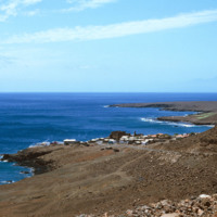
Coastal scene near the then newly constructed desalination plant built by the Danish government.

http://www.ricdigitalcommons.com/Baxter_temp/CV-83-040.jpg
This slide is another depiction of the coastline of Praia. The Mid-Atlantic Ocean surrounds the East, South, and Western portions of the city.

http://www.ricdigitalcommons.com/Baxter_temp/CV-81-147.jpg
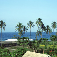
Tropical scene along the coastline in and around Paùl.

http://www.ricdigitalcommons.com/Baxter_temp/CV-80-216.jpg
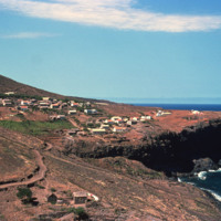
An unknown coastal village on São Nicolau.

http://www.ricdigitalcommons.com/Baxter_temp/CV-85-026.jpg
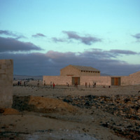
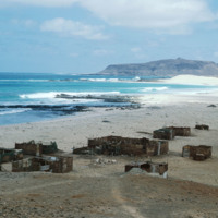
This photo shows several worn down and abandoned structures along the beach of Praia de Cabral.

http://www.ricdigitalcommons.com/Baxter_temp/CV-88-005.jpg
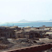
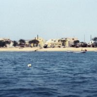
This photo was take off shore from Sal Rei, the principal city on Boavista. Homes can be seen lining the beach as well as beached vessels.

http://www.ricdigitalcommons.com/Baxter_temp/CV-81-180.jpg
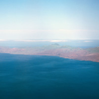
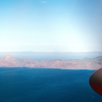
Aerial view of the coastline of São Nicolau. Pictured are rocky and dry mountains descending dramatically into the ocean. The islands dry and mountainous exterior presents a barrier to the lush fertile land in the center.

http://www.ricdigitalcommons.com/Baxter_temp/CV-81-181.jpg
Aerial view of the coastline of São Nicolau. Pictured are rocky and dry mountains descending dramatically into the ocean. The green tops of the mountains provide a hint to the lush land behind them.

http://www.ricdigitalcommons.com/Baxter_temp/CV-81-203.jpg
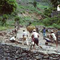
A group of workers repair a cobblestone road in Ribeira Brava, the main city on São Nicolau. The cit is known for cobblestone roads and beautiful, colorful architecture. Until the closing of a local seminary school in the early 20th century, Ribeira…

http://www.ricdigitalcommons.com/Baxter_temp/CV-89-024.jpg
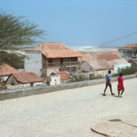
Residents walk along a cobblestone road in Vila do Maio. From this elevated point in the city the steep ascent of the village from the ocean is evident. On the horizon sits the long, flat, white sand beaches that lie just outside the village.

http://www.ricdigitalcommons.com/Baxter_temp/CV-89-019.jpg
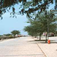
A cobblestone road in Vila do Maio runs along the shore of coastal town. Vila do Maio is the main settlement on the island, in recent years it has seen population growth and some development.

http://www.ricdigitalcommons.com/Baxter_temp/CV-85-008.jpg
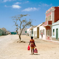
The city of Sal Rei is described as being "quietly busy" by Irwin and Wilson. As depicted in this picture, the city looks rather barren and plain. The streets, covered by sand and scree debris, are aligned in a grid pattern. City planners of Sal Rei…
http://www.ricdigitalcommons.com/Baxter_temp/CV-85-009.jpg
The city of Sal Rei is described as being "quietly busy" by Irwin and Wilson. As depicted in this picture, the city looks rather barren and plain. The streets, covered by sand and scree debris, are aligned in a grid pattern. City planners of Sal Rei…
http://www.ricdigitalcommons.com/Baxter_temp/CV-81-276.jpg
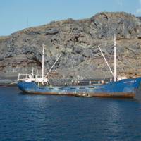
A commercial fishing vessel is photographed docked near São Felipe. It is believed to be docked at Porto de Vale de Cavaleiros.

http://www.ricdigitalcommons.com/Baxter_temp/CV-81-214.jpg
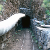
Construction of the Fajã Gallery in one of the mountains of São Nicolau can be seen in this photo. Since water is scarce in Cape Verde, this project was initiated in order to find water for the community. 85.8% of water consumption is used for…

http://www.ricdigitalcommons.com/Baxter_temp/CV-89-070.jpg
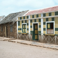
This photo shows two contrasting, adjacent houses. A modern, concrete home with bright colors to the right and a stone house with a thatched roof at left. The streets are cobblestone. This photo is believed to be taken in Calheta.

http://www.ricdigitalcommons.com/Baxter_temp/CV-88-046.jpg
The Danish government built this desalination plant in Cape Verde just prior to this 1988 photograph.

Natural fresh water resources are few to nonexistent in many islands of Cape Verde. Therefore, seawater desalination plants are absolutely…

http://www.ricdigitalcommons.com/Baxter_temp/CV-81-219.jpg
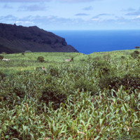
An unidentified man in a vast corn crop field. With roughly one third of the population being farmers, Cape Verde's economy is predominately driven by agriculture. Corn is one of the country's most produced and consumed crops as it is featured in…

http://www.ricdigitalcommons.com/Baxter_temp/CV-89-063.jpg
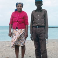
An older couple, unidentified, poses for a photograph by the shore on Maio. This photo is believed to be taken near Calheta, a small coastal village.

Tags:

http://www.ricdigitalcommons.com/Baxter_temp/CV-83-025.jpg
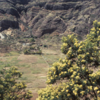
Cova is a crater that is part of an inactive volcano on the island of São Antão. A distinct feature of this high altitude micro environment is the flora that resides there. As opposed to the lush valleys below, the crater Cova boasts woody vegetation…

http://www.ricdigitalcommons.com/Baxter_temp/CV-83-026.jpg
Cova is a crater that is part of an inactive volcano on the island of São Antão. A distinct feature of this high altitude micro environment is the flora that resides there. As opposed to the lush valleys below, the crater Cova boasts woody vegetation…

http://www.ricdigitalcommons.com/Baxter_temp/CV-88-137.jpg
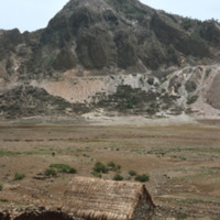
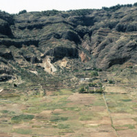
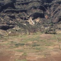
Scenes of Cova, a "caldeira" or sunken floor of a dormant volcano, in the highlands of S. Antão. A productive agricultural area.

http://www.ricdigitalcommons.com/Baxter_temp/CV-88-138.jpg
Scenes of Cova, a "caldeira" or sunken floor of a dormant volcano, in the highlands of S. Antão. A productive agricultural area.

http://www.ricdigitalcommons.com/Baxter_temp/CV-88-139.jpg
Scenes of Cova, a "caldeira" or sunken floor of a dormant volcano, in the highlands of S. Antão. A productive agricultural area.

http://www.ricdigitalcommons.com/Baxter_temp/CV-88-140.jpg
Scenes of Cova, a "caldeira" or sunken floor of a dormant volcano, in the highlands of S. Antão. A productive agricultural area.

http://www.ricdigitalcommons.com/Baxter_temp/CV-88-141.jpg
Scenes of Cova, a "caldeira" or sunken floor of a dormant volcano, in the highlands of S. Antão. A productive agricultural area.

http://www.ricdigitalcommons.com/Baxter_temp/CV-88-142.jpg
Scenes of Cova, a "caldeira" or sunken floor of a dormant volcano, in the highlands of S. Antão. A productive agricultural area.

http://www.ricdigitalcommons.com/Baxter_temp/CV-88-143.jpg
Scenes of Cova, a "caldeira" or sunken floor of a dormant volcano, in the highlands of S. Antão. A productive agricultural area.

http://www.ricdigitalcommons.com/Baxter_temp/CV-88-144.jpg
Scenes of Cova, a "caldeira" or sunken floor of a dormant volcano, in the highlands of S. Antão. A productive agricultural area.

http://www.ricdigitalcommons.com/Baxter_temp/CV-85-034.jpg
A view of a cove at Praia de Cabral, a beach located about two miles from Sal Rei. A natural rock wall creates a a small, natural cove.

http://www.ricdigitalcommons.com/Baxter_temp/CV-85-054.jpg
A cow, donkey and dog are seen on a farm where Baxter stopped on a journey across the arid interior of Boa Vista on the way to Praia Curralhino. Despite extreme drought conditions, there is a presence of goats, donkeys and the occasional bovine.…
Output Formats

atom, dcmes-xml, json, omeka-xml, rss2