Browse Items (1954 total)

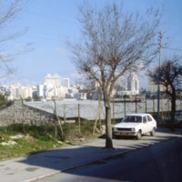
http://www.ricdigitalcommons.com/temp/0975.jpg
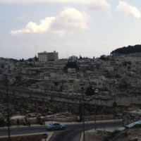
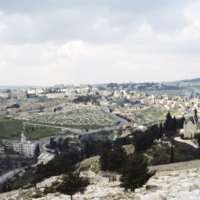
This photograph looks toward the New City district of Jerusalem. In contrast to the historical and religiously significant architecture of the old city, the New City’s skyline is ripe with modernist architecture and skyscrapers in the international…

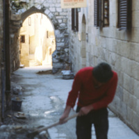
http://www.ricdigitalcommons.com/temp/0976.jpg
Old City Jerusalem has a complex network of narrow alleyways. This photograph from 1980 shows repair work in one of the alley ways which have remained relatively unchanged for millennia.

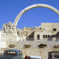
http://www.ricdigitalcommons.com/temp/0978.jpg
The Hurva Synagogue ruin, photographed in 1980. The synagogue was proposed in the 1840s and built between 1854 and 1864. When it was dedicated in 1864 the name given was, “Beth Ya’akov”, but it’s place on the ruins, hurva, of the old synagogue…

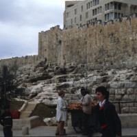
http://www.ricdigitalcommons.com/temp/0979.jpg
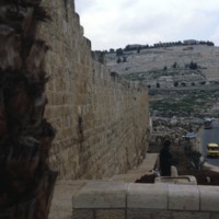
The Southeast end of the Eastern Wall in Jerusalem is also known as the east side of the Temple Mount wall. Clearly visible in the photo is the change in stone/pattern after about the 9th row. This is due to the fact that the Romans destroyed the…

http://www.ricdigitalcommons.com/temp/0980.jpg
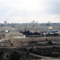
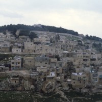
This photo was taken from the southeast end of the Eastern Wall looking towards Mount of Olives. The hill is located on the eastern side of Kidron creek and overlooks the old city of Jerusalem. This hill is considered holy ground due to the fact…

http://www.ricdigitalcommons.com/temp/0981.jpg
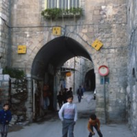
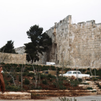
The Dung Gate is located on the south wall in relation to the Temple Mount. This picture was taken at the gate looking in towards the New City.

http://www.ricdigitalcommons.com/temp/0982.jpg
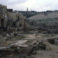
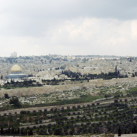
Seen in the distance amongst the ruins is Mount of Olives, also known as Har HaZeitim, in Jerusalem. The hill is 2,900 feet tall consists of 3 summits with a tower on each. The hill is one of the city’s most religious places and acts as the main…

http://www.ricdigitalcommons.com/temp/0983.jpg
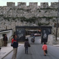
The Dung Gate is one of the nine gates to the Old City in Jerusalem. It gains its name from the fact that it was the gate used to take trash out of the city to be disposed of in the Kidron Valley. It is seen here as heavily populated with pedestrians…

http://www.ricdigitalcommons.com/temp/0984.jpg
Also know as Lions Gate, St. Stephen’s Gate is located on the eastern end of the Old City. It was thought that the first Christian martyr was stoned right outside of this gate, giving it it’s original name. The name Lions Gate only came about because…

http://www.ricdigitalcommons.com/temp/0986.jpg
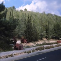
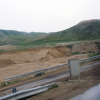
This photograph taken along the highway entering Jerusalem shows rusting truck chasis’ as a reminder of the 1948 Arab-Israeli War. Smolski writes about the dangers faced by convoys entering the city during the war in his 1980 article Glorious…

http://www.ricdigitalcommons.com/temp/0989.jpg
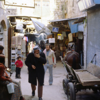
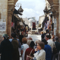
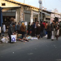
Old City Jerusalem host’s a market made of long alley ways which cross through the Christian, Muslim and Jewish borders. This photograph shows the colorful and claustrophobic atmosphere of one of the alley way markets.

http://www.ricdigitalcommons.com/temp/0990.jpg
Jerusalem’s Old City market is made up of alleyways that cross the Christian, Muslim and Jewish sections of Old City Jerusalem. This photograph was taken in 1980 and shows the close arrangement of stands in the alleyway markets.

http://www.ricdigitalcommons.com/temp/0992.jpg
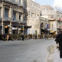
The Jaffa Gate, which was also known as the Bethlehem Gate, the Hebron Gate and the Pilgrim’s Gate, is one of eight gates in Jerusalem’s Old City walls. It is located near the Citadel and the Phasael Tower. This 1980 photograph show’s Israeli troops…

http://www.ricdigitalcommons.com/temp/0993.jpg
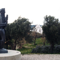
This photograph shows an unidentified outdoor sculpture at the Israel Museum. In the background the unique dome of the the Shrine of the Book peaks between the foliage.

http://www.ricdigitalcommons.com/temp/0994.jpg
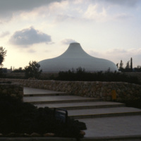
The Shrine of the Book is a museum built to house the Dead Sea Scrolls, which were discovered between 1947 and 1956. The unusual design for the dome was based on imagery from one of the scrolls, specifically the War of the Sons of Light Against the…

http://www.ricdigitalcommons.com/temp/0995.jpg
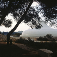
This unique structure is the Shrine of the Book, a wing of the Israel Museum that is home to the Dead Sea Scrolls. The dome has been used in several science fiction due to it’s unique design which is based on imagery from the Scroll of the War of the…

http://www.ricdigitalcommons.com/temp/0997.jpg
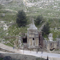
Originally this tomb has been ascribed to Absalom, the son of King David of Israel. Recent studies however point to it’s construction being sometime in the first century AD. A recent deciphering of a fourht century inscription suggests that the…

http://www.ricdigitalcommons.com/temp/0998.jpg
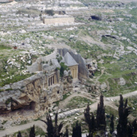
This photograph show’s two of the monumental tombs in Kidron Valley. The tomb at the left is the Bene Hezir tomb, or Sons of Hezir. The tomb is carved into rock with a porch featuring a Doric style facade. It is the oldest tomb in the Kidron Valley…

http://www.ricdigitalcommons.com/temp/0999.jpg
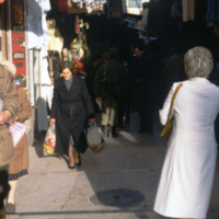
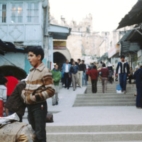
The Jaffa Gate is a gate to the Old City district of Jerusalem. This 1980 photograph shows a street scene in front of the Jaffa Gate and some of the surrounding structures.
http://www.ricdigitalcommons.com/temp/1000.jpg
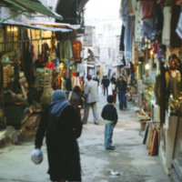
Old City Jerusalem host’s a market made of long alley ways which cross through the Christian, Muslim and Jewish quarters. This photograph shows the colorful and slightly claustrophobic atmosphere of one of the market place.
http://www.ricdigitalcommons.com/temp/1002.jpg
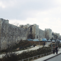
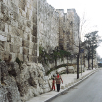
This photograph shows the south wall near the Jaffa Gate. The south wall borders the Jewish quarter in Old City Jerusalem. The present walls were built during the Ottoman empire in the sixteenth century, but the city has historicaly been fortified…

http://www.ricdigitalcommons.com/temp/1003.jpg
This photograph shows the south wall near the Jaffa Gate. The south wall borders the Jewish quarter in Old City Jerusalem. The present walls were built during the Ottoman empire in the sixteenth century, but the city has historically been fortified…

http://www.ricdigitalcommons.com/temp/1004.jpg
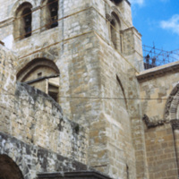
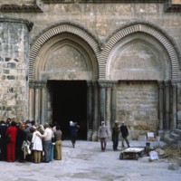
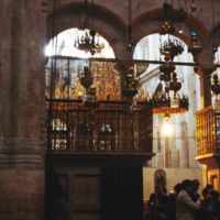
Originally constructed during the rule of Emperor Constantine, The Church of the Holy Sepulchre was built as one of a number of memorial structures intended to, “enshrine places or objects associated with Gospel episodes or other hallowed events.”…

http://www.ricdigitalcommons.com/temp/1005.jpg
Also known as the Church of the Resurrection, the Church of the Holy Sepulchre is a church built on a site venerated to be Golgotha. It was built in the third century under the rule of Constatntine at the site of Christ’s crucifixion and entombment.…

http://www.ricdigitalcommons.com/temp/1006.jpg
The interior design of the Church of the Holy Sepulchre is a rhythmic sequence of light and less light designed to illicit emotional climaxes from visitors. The floor plan is based normal Roman house and palace design, the church progresses from…

http://www.ricdigitalcommons.com/temp/1010.jpg
A photograph of the south wall taken from outside of Old City Jerusalem. This wall was constructed during the Ottoman in the sixteenth century, but Jerusalem has a long history of being a fortified city with city walls dating back to ancient times.

http://www.ricdigitalcommons.com/temp/1011.jpg
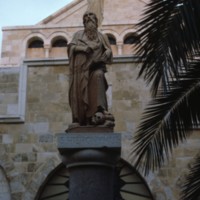
Statue of Saint Hieronymous (Saint Jerome) at the Church of St. Catherine of Alexandria in Bethlehem. The statue is modern, made in the mid twentieth century. The church itself was completed in 1882, built on the ruins of the crusader church…

http://www.ricdigitalcommons.com/temp/1012.jpg
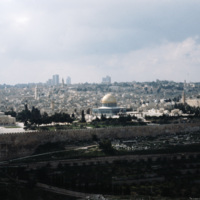
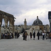
At the heart of Jerusalem lies the 35 acre spread of land known as The Noble Sanctuary. Its inner workings consist of various buildings and structures of importance to the country of Israel. These include: The Dome of the Rock, the Al-Aqsa Mosque,…

http://www.ricdigitalcommons.com/temp/1013.jpg
Pictured is one of the holiest sites in Jerusalem, The Noble Sanctuary. The walls holding in all of the sanctuary’s contents are clearly visible in this photo. It is believed by many that these grounds were once the location of the Temple of Solomon.…

http://www.ricdigitalcommons.com/temp/1015.jpg
The Mount of Olives is another highly religious geological point in Israel. Named for the multitude of olive trees that used to habituate the area, the Mount of Olives spans a length of around 2 miles and has its highest point at 818 meters. Several…

http://www.ricdigitalcommons.com/temp/1017.jpg
Seen in the distance of this photo is the Church of the Holy Sepulcher. After surviving much destruction and repair, the church stands presently in Jerusalem. It was built to commemorate the hill of crucifixion and Christ’s tomb. The church itself is…

http://www.ricdigitalcommons.com/temp/1020.jpg
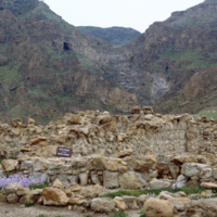
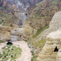
This photograph was taken in Qumran, the area where in 1947 (or late 1946) the Dead Sea Scrolls were discovered by three Bedouin shepherds. The caves are located about eight miles south of Jericho, in present day Israel. In this picture a sign can…

http://www.ricdigitalcommons.com/temp/1021.jpg
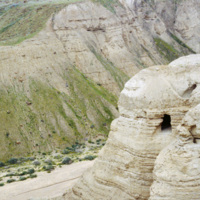
Discovered in August of 1952, Cave 4 is located just a couple hundred feet from the ruins at Khirbet Qumran. It was discovered by a Ta’amireh Bedouin tribesman pursuing a partridge. Cave 4 has been the location for the greatest number scroll…

http://www.ricdigitalcommons.com/temp/1022.jpg
In 1947 a group of Bedouin shepherds happened upon what would be known as the Dead Sea Scrolls. Between 1947 and 1956 both the Bedouin and archaeologists performed a comprehensive search of eleven caves in Qumran, which resulted in the recovery of…

http://www.ricdigitalcommons.com/temp/1023.jpg
This photograph shows a marker en route to the dead sea which indicates ‘sea level.’ The Dead Sea is approximately 400 meters below sea level.

http://www.ricdigitalcommons.com/temp/1030.jpg
At the heart of Jerusalem lies the 35 acre spread of land known as The Noble Sanctuary. Its inner workings consist of various buildings and structures of importance to the country of Israel. These include: The Dome of the Rock, the Al-Aqsa Mosque,…

http://www.ricdigitalcommons.com/temp/1031.jpg
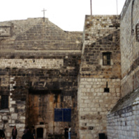
This picture was taken at an angle from Manger Square of the Church of Nativity in Bethlehem, Israel. Since its initial construction in 326 AD, the church has undergone much reconstruction and restoration over the years. Built over the cave that is…

http://www.ricdigitalcommons.com/temp/1034.jpg
Directly 22 meters northwest of the Dome of Rock on its platform lies the Dome of the Ascension (seen in the center of this picture). Originally a Crusader baptismal, this 6 meter wide dome was rebuilt as a Muslim shrine in 1200. To the left of this…

http://www.ricdigitalcommons.com/temp/1035.jpg
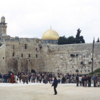
The Noble Sanctuary is home to a number of religiously significant sites and structures. This photograph shows a mass of visitors at the Western Wall, also known as the Wailing Wall (19th century) because of the cries of visitors overcome by emotion…

http://www.ricdigitalcommons.com/temp/1036.jpg
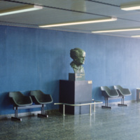
This photograph shows a bust of David Ben-Gurion, Israel’s first prime minister, in the Ben-Gurion Airport. The bust was made by Dorothy Wolf, a Chicago based artist. In 2007, at the age of 86, she was honored by the State of Israel for the bust of…

http://www.ricdigitalcommons.com/temp/1037.jpg
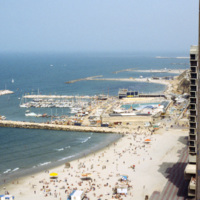
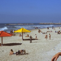
The Tel Aviv Beach was developed into a resort after it’s economic potential was realized by Mayor Dizengoff in the 1930s. Originally the development was to follow the Gruenblatt plan, which followed the Geddes plan for the city, but planned to…

http://www.ricdigitalcommons.com/temp/1038.jpg
The I.B.M. Building, now known as Weizmann Branch and occupied by law offices, was designed in the 1970s by the architectural firm Yasky & Partners. The buildings unique design places it on a single solid stone foundation and utilizes curved…

http://www.ricdigitalcommons.com/temp/1039.jpg
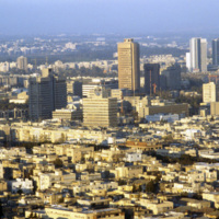
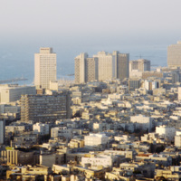
Tel Aviv is sometimes referred to as the Miami of the Middle East. Looking at this 1980 photograph it is easy to see why. The city’s architecture, much like Miami, is dominated by modernist structures in the Bauhaus and International styles. Here…

http://www.ricdigitalcommons.com/temp/1040.jpg
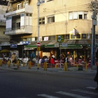
Pictured is a corner restaurant on Dizengoff Street on Israel’s weekly Shabbat (Sabbath) day. Dizengoff Street, Tel Aviv’s busiest social area is usually flowing with pedestrians and traffic, but it is evident that the crowds are reduced on this day.…

http://www.ricdigitalcommons.com/temp/1045.jpg
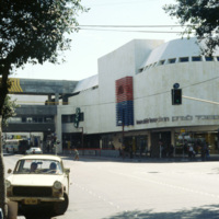
The Dizengoff Center was Israel’s first mall and was built over a period of eleven years, from 1972 to 1983. The first stores opened in 1977 and today it has a total of 420 sores. The Dizengoff Center is partly blamed for declined business on nearby…

http://www.ricdigitalcommons.com/temp/1046.jpg
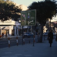
Named after the British General Sir Edmund Henry Hynman Allenby, Allenby Street is one of the major streets in Tel Aviv. The street originates in Hamoshavot Square and runs until Haknesset Square. Known for its commercial centered theme, the street…

http://www.ricdigitalcommons.com/temp/1047.jpg
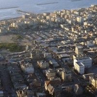
Pictured in the upper left hand corner in this aerial shot is Tel Aviv’s Carmel Market. The market is located on Carmel Street, in between Allenby Street and Magen David Square. Being the largest market in Tel Aviv, the Carmel Market is open everyday…

http://www.ricdigitalcommons.com/temp/1048.jpg
Along the west side of Tel Aviv rests a lengthy stretch of shoreline divided into several different beaches. These beaches include: Hof Hatzuk Beach, Sheraton Beach, The Separated Beach, Atzmout Beach, Hilton Beach, Gordon Beach, Frishman Beach, The…

http://www.ricdigitalcommons.com/temp/1049.jpg
The Jaffa Flea Market is located between Yefet Street and Jerusalem Boulevard. It is heavily populated with people Sunday through Friday and offers a wide variety of goods to be purchased. These goods include a large selection of jewelry and oriental…

http://www.ricdigitalcommons.com/temp/1051.jpg
The Mount of Olives is a mountainside in Jerusalem covered in a combination of magnificent architecture and stones. Among the various highlights of the Mount are the Church of Mary Magdalene, the Garden of Gethsemane, the Basilica of the Agony, and…
Output Formats

atom, dcmes-xml, json, omeka-xml, rss2