Browse Items (993 total)

  • Collection: Chester Smolski Photographs

http://www.ricdigitalcommons.com/temp/0803.jpg
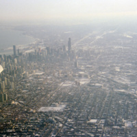
Aerial photograph of Chicago taken in the winter of 1993. Chicago has among one of most dense skylines in the world. It is also home to some of the worlds tallest buildings, including the Willis Tower (formerly Sear Tower) which was the tallest in…

http://www.ricdigitalcommons.com/temp/0802.jpg
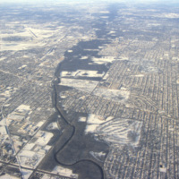
Aerial view of the northern section of Chicago. At the left is O’Hare International Airport. The Des Plaines River can also be seen running through the center of the frame.

http://www.ricdigitalcommons.com/temp/0801.jpg
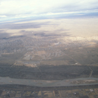
This image is showing an aerial view of the Rio Grande River. It is considered the fourth or fifth longest river system in North America. The river passes through the states of Colorado, New Mexico and Texas, thereby forming a natural border between…

http://www.ricdigitalcommons.com/temp/0800.jpg
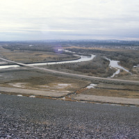
Flowing from southwestern Colorado to the Gulf of Mexico is the Rio Grande. Pictured is a dam along the the major river. With a total length of 1,896 miles, there are a large number of dams along the Rio Grande. These include: Cochiti Dam, Elephant…

http://www.ricdigitalcommons.com/temp/0799.jpg
This aerial photograph shows patterns made by roads and farm land in the Iowan landscape during the winter.

Tags:

http://www.ricdigitalcommons.com/temp/0796.jpg
Old Town Albuquerque is a historic section of town that dates back to the early 18th century settlements by the Spanish. Today it is a popular destination for shoppers and tourists. There are many historic adobe buildings, including the San Felipe de…

http://www.ricdigitalcommons.com/temp/0794.jpg
Albuquerque’s skyline in 1993, shortly after construction of the Albuquerque Plaza (1990). it’s distinct shape can be seen in the center in this photograph. While it saw much of the same cycle of decline and urban renewal as many US cities in the…

http://www.ricdigitalcommons.com/temp/0792.jpg
Centerville Court is an elderly housing complex in North Syracuse build in the 1970s. This housing complex, built during an oil crisis, originally used electric heating, but in recent years has been converted to natural gas to save energy coats.

http://www.ricdigitalcommons.com/temp/0791.jpg
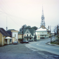
Cabano is a small town in the Canadian province of Quebec. In the twentieth century it experienced several devestating fires. In 1950 a fire destroyed over 100 homes. This 1965 photograph shows a house with a ladder on the roof, a fire prevention…

http://www.ricdigitalcommons.com/temp/0790.jpg
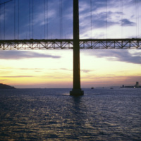
The 25 de Abril Bridge in Portugal is the largest suspension bridge in the world. Crossing over the Tagus River, the bridge was built by the American Bridge Company and inaugurated in 1966. It connects the capitol, Lisbon to Almada. Until 1974 the…

http://www.ricdigitalcommons.com/temp/0788.jpg
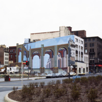
Shown on the side of this building is the optical illusion trompe l’oeil. Translated, the term stands for “deceive the eye”. This technique is achieved by using realistic imagery in order to give the optical illusion that the image is in 3D. (date…

http://www.ricdigitalcommons.com/temp/0787.jpg
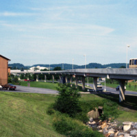
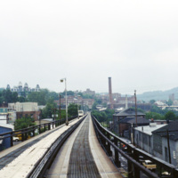
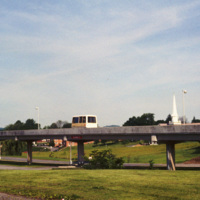
This picture shows a side view of the railway tracks for the Morgantown Personal Rapid Transit system. The entire system has a length of approximately 8.2 miles, along which 5 different stations can be found.
http://www.ricdigitalcommons.com/temp/0786.jpg
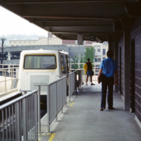
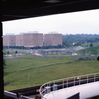
This photograph, taken from a car on the Morgantown Personal Rapid Transit system, show’s the unique tracks that the automated cars move upon. Each car is equipped with rubber wheels and receives energy and information from a rail in the center. This…

http://www.ricdigitalcommons.com/temp/0785.jpg
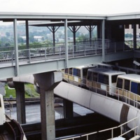
This photograph shows several stationary cars at one of the stations as part of Morgantown Personal Rapid Transit system. Each car has the capacity to hold eight people along with minor room for standees.

http://www.ricdigitalcommons.com/temp/0784.jpg
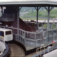
This photograph shows one of the stations on the Morgantown Personal Rapid Transit system. The system began operation in 1975 and has been running relatively smooth for over 30 years.

http://www.ricdigitalcommons.com/temp/0783.jpg
The Morgantown Personal Rapid Transit system is a unique people mover in Morgantown, West Virginia. It was built using funding from the Nixon administration.

http://www.ricdigitalcommons.com/temp/0782.jpg
The Morgantown Personal Rapid Transit system connects the West Virginia Campuses and downtown Morgantown. The system opened in 1975 and was completed in 1979. While construction of the system was four times over budget, it has proved to be both…

http://www.ricdigitalcommons.com/temp/0781.jpg
Evansdale Campus is photographed from one of the stops along the Morgantown Personal Rapid Transit system. The Evansdale Campus, developed during the 1950s and 1960s, is part of West Virginia University.

http://www.ricdigitalcommons.com/temp/0780.jpg
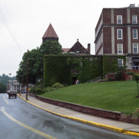
Pictured in 1981 is the original campus at West Virginia University, now known as the Downtown Campus. The three campuses in Morgantown are connected by the Morgantown Personal Rapid Transit system, a unique automated people mover funded by the…

http://www.ricdigitalcommons.com/temp/0779.jpg
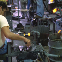
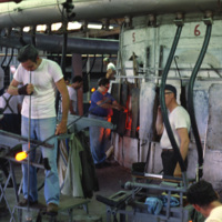
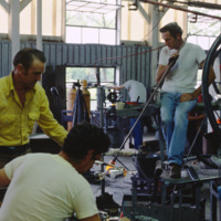
From 1891 to 1983 the Seneca Glass Company was a staple business in Morgantown. This 1981 photograph shows a glass worker in the Beechurst Avenue factory in Morgantown.

http://www.ricdigitalcommons.com/temp/0778.jpg
Factory workers at the Seneca Glass Company in Morgantown are photographed here in 1981 by Chet Smolski. Founded in 1891, the factory was sold and eventually become bankrupt in just two years time. (date of photograph has been approximated)

http://www.ricdigitalcommons.com/temp/0777.jpg
Factory workers at the Seneca Glass Company in Morgantown. The Seneca Glass Company, founded in 1891, was a staple of the city of Morgantown until the companies eventual bankruptcy in 1983. This 1981 photograph shows the company in it’s final days,…

http://www.ricdigitalcommons.com/temp/0776.jpg
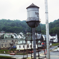
This photograph taken from the Seneca Glass Company looks northeast towards housing in Morgantown. Seneca Glass Company, founded in 1891, was a fixture in Morgantown until it’s ultimate demise in 1983. The intersection pictured is the meeting of 7th…

http://www.ricdigitalcommons.com/temp/0775.jpg
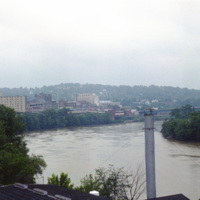
Monongahela, an approximation of a native word meaning “falling banks”, refers to the instability of the Monongahela Rivers banks. The river flows through Pennsylvania and West Virginia. This photograph shows the Monongahela River in Mograntown.…

http://www.ricdigitalcommons.com/temp/0774.jpg
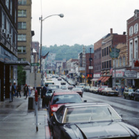
View of High St. in Morgantown on a rainy afternoon in 1981. Morgantown is the largest town in the North-Central region of West Virginia and is home to West Virginia University. At the left is the Monongahela Building, an apartment complex on High…

http://www.ricdigitalcommons.com/temp/0773.jpg
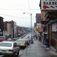
Morgantown is home to West Virginia University and is the largest town in the North-Central region of West Virginia. This photograph looks south on Rt. 119 in the First Ward neighborhood. Many of the businesses have changed since this 1981…

http://www.ricdigitalcommons.com/temp/0772.jpg
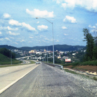
Clarksburg is a city in West Virginia with a population of 16,578 at the 2010 census. This 1981 photograph, taken on U.S. Route 50 shows the approach to the city and the hilly terrain that the city is built within. This section of Rt. 50 is part of…

http://www.ricdigitalcommons.com/temp/0771.jpg
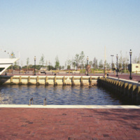
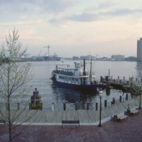
The New Spirit was a cruise boat that toured the Elizabeth River, a branch of the Hampton Roads waterways. It, along with Waterside, was part of the downtown revitalization movement. The New Spirit, pictured here, was launched in 1983 after the…

http://www.ricdigitalcommons.com/temp/0770.jpg
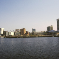
This photograph shows Downtown Norfolk from Hampton Roads. At the right is the Waterside Festival Marketplace developed by James Rouse. The marketplace was a key component in Norfolk’s revitalization process in the decades following the Second World…

http://www.ricdigitalcommons.com/temp/0769.jpg
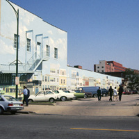
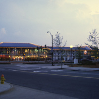
This 1985 photograph shows a public mural in downtown Norfolk. The building, which in this photograph is occupied by Unlimited Tatse, is presently (2011) occupied by a Starbucks franchise. The parking lot has since been redeveloped as part of the…

http://www.ricdigitalcommons.com/temp/0730.jpg
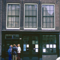
The Anne Frank House is a museum in Amsterdam that occupies the building which Anne Frank, her family, and four other people hid from persecution in secret rooms at the back of the house. It also serves as an exhibition space to highlight persecution…

http://www.ricdigitalcommons.com/temp/0768.jpg
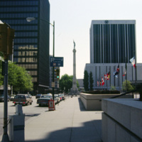
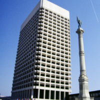
Commercial Park and the Confederate Monument are photographed in the image of Norfolk. The Confederate Monument was completed in 1907 when a 15 foot bronze statue of Johnny Reb was added to the top.

http://www.ricdigitalcommons.com/temp/0767.jpg
This photograph shows the Confederate Monument in Commercial Place, formerly Market Square. The Monument was began in 1899, and in 1907 the bronze statue of Johnny Reb, the symbol of the southern states, was added to the top.

http://www.ricdigitalcommons.com/temp/0766.jpg
The Confederate Monument in Commercial Place had it’s corner stone laid on the thirty second anniversary of Confederate President Jefferson Davis’ inauguration. In 1907 a bronze statue of Johnny Reb, the personification of the southern states, was…

http://www.ricdigitalcommons.com/temp/0765.jpg
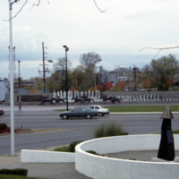
Photograph of Commercial Park in Norfolk. Commercial Park sits between MacArthur Square and the Confederate Monument, on East Main and Plume Street.

http://www.ricdigitalcommons.com/temp/0763.jpg
Now the TCC Roper Performing Art Center, Loew’s State Theater opened in 1926 and featured gilded box seats, glass chandeliers and air conditioning. The theater closed in the 1970s and was unoccupied for over twenty years until revitalized by…

http://www.ricdigitalcommons.com/temp/0762.jpg
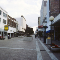
Granby Street, once a bustling commercial district in Downtown Norfolk, saw continued decline throughout the twentieth century as retail and shopping centers moved to the suburbs. This picture, which shows a cinema advertising The Last Dragon (1985),…

http://www.ricdigitalcommons.com/temp/0761.jpg
Granby Street was a major commercial district in Norfolk before suburban shopping centers lead to it’s decline in the twentieth century. The Granby Street Mall was an concept that was hoped to revitalize the district, however turning the street into…

http://www.ricdigitalcommons.com/temp/0760.jpg
This photograph, believed to be taken from the Crowne Plaza, looks south down St. Paul’s Blvd. in Norfolk. On the horizon is the Basilica of St. Mary of the Immaculate Conception Church. The cathedral was constructed in 1858 after the original…

http://www.ricdigitalcommons.com/temp/0759.jpg
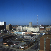
Anchored by Norfolk Scope, the northern corner of town is shown in the aerial photograph. Retail shops outlets dominate the area. Throughout the twentieth century shopping centers in the suburbs continued to draw commerce away from the city. The…

http://www.ricdigitalcommons.com/temp/0758.jpg
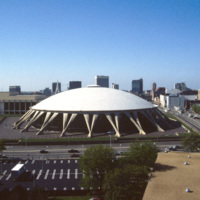
Featuring the world’s largest concrete dome, the Norfolk Scope (derived from kaleidoscope for it’s re-configurability) is a center for sports, entertainment and conventions in downtown Norfolk. It was designed by Italian architect Pier Luigi Nervi…

http://www.ricdigitalcommons.com/temp/0754.jpg
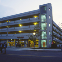
The Waterside Festival Marketplace was constructed as part of Norfolk’s postwar revitalization project.T his photograph (circa 1985) shows a parking garage neighboring the marketplace to accommodate shoppers.

http://www.ricdigitalcommons.com/temp/0753.jpg
The Waterside is a festival marketplace in Norfolk. James W. Rouse envisioned the marketplace in the early 1970s as a way to revitalize Norfolk, which was experiencing a considerable decline. The marketplace has a combination of restaurants, retail…

http://www.ricdigitalcommons.com/temp/0752.jpg
The Elizabeth River Ferry runs three paddle-wheel ferryboats that connect Portsmouth and Norfolk. The ferry system is operated as part of Hampton Roads Transit as of 1999. The photo is taken from The Waterside in Norfolk. On the horizon is Harbor…

http://www.ricdigitalcommons.com/temp/0750.jpg
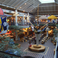
The Waterside Festival Marketplace in Norfolk was conceived in the 1970s as part of a downtown revitalization project. This interior photograph shows the marketplace crica 1985. Recent declines in business have replaced the stores upstairs with…

http://www.ricdigitalcommons.com/temp/0749.jpg
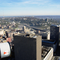
This east facing aerial view looks across downtown Cincinnati from Carew Tower. Of note in this image are some of Cincinnati’s taller buidlings: The Fifth Third Center and the Chiquita Center. The Fifth Third Center, towering in the foreground, is a…

http://www.ricdigitalcommons.com/temp/0747.jpg
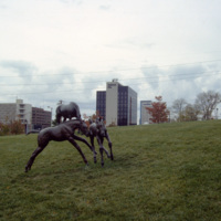
Thoroughbred Park in Lexington, a tribute to the thoroughbred racehorse, is adorned with life-size statues of the horses and riders. Lexington is considered the “Thoroughbred City” and “Horse Captial of the World.”

http://www.ricdigitalcommons.com/temp/0746.jpg
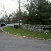
The entrance to Gainesway Farm, an American Thoroughbred horse breeding business. Originally called Greentree Farms when it opened in 1914, until it was sold in 1989 following the death of the previous owners.

http://www.ricdigitalcommons.com/temp/0745.jpg
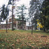
The Henry Clay Estate, also known as Ashland, is the mansion on the plantation owned by Henry Clay, Sr. Henry Clay represented Kentucky in both the House and Senate in the first half of the 19th century. His mansion was originally constructed in 1806…

http://www.ricdigitalcommons.com/temp/0744.jpg
Thoroughbred Park in Lexington celebrates the cities reputation as the “Horse Capital of the World.” The park has life size bronze statues of horses and riders. They were made Lexington native sculptor Gwen Reardon.
Output Formats

atom, dcmes-xml, json, omeka-xml, rss2