Browse Items (1954 total)

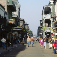
http://www.ricdigitalcommons.com/temp/1128.jpg
Bourbon Street is one of the most celebrated areas of Mardi Gras in New Orleans. The street is most known for its burlesque clubs and lively night life. Some of the major attractions include: The Royal Sonesta Hotel, Jean Lafitte’s Blacksmith Shop,…

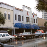
http://www.ricdigitalcommons.com/temp/1135.jpg
Worth Avenue is viewed as one of the most famous shopping districts in the state of Florida. The area first gained retail insight when The Everglades Club was built on this road in 1918. This club held weekly fashion shows showing the latest trends…

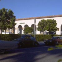
http://www.ricdigitalcommons.com/temp/1137.jpg
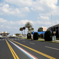
Publix Super Markets, Inc. is one of the leading privately owned grocery stores in the states of Florida, Georgia, South Carolina, Alabama, and Tennessee. The first store was opened in Winter Haven, FL in the 1930s by George Jenkins. Starting out…

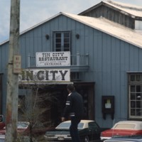
http://www.ricdigitalcommons.com/temp/1141.jpg
Pictured is the entrance to historic Tin City, named for its distinguishable tin roofed buildings. Ever since the 1880s, this area of waterfront has attracted many tourists. In earlier times, access to this area was rather difficult; passengers has…

http://www.ricdigitalcommons.com/temp/1142.jpg
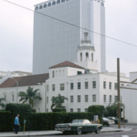
Built in 1957 by the MacEwen Group, this building was formerly known as the Exchange National Bank Building. This skyscraper towers over many surrounding buildings at 280 feet and 22 stories. This piece of architecture was built in the international…

http://www.ricdigitalcommons.com/temp/1143.jpg
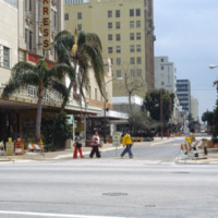
The four story building to the left of this photo is known as the Kress Building in downtown Tampa, Florida. Originally opened in 1900 on Franklin Street, the store was soon relocated to Florida Avenue in 1908. That store was demolished in 1929. That…

http://www.ricdigitalcommons.com/temp/1144.jpg
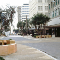
Pictured is a shopping district in downtown Tampa, Florida. To the far right of this picture is the Citizens Bank Building. Built in 1913 with a height of 145 feet tall, this building was considered the tallest building in Tampa until 1915 when the…

http://www.ricdigitalcommons.com/temp/1146.jpg
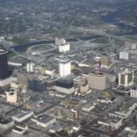
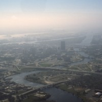
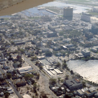
This is an aerial shot taken of downtown Tampa. Pictured at the far left of this picture is a tall brown building known formerly as the Lykes Building. Presently, it is known as Park Tower. Located at 400 North Tampa Street, this skyscraper was built…

http://www.ricdigitalcommons.com/temp/1147.jpg
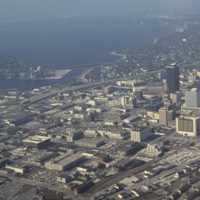
This is another aerial view of downtown Tampa. This photograph overlooks the Hillsborough Bay. Along with Old Tampa Bay, Middle Tampa Bay, and Lower Tampa Bay, the four make up what is known as Tampa Bay. Also seen in this photo are major buildings…
http://www.ricdigitalcommons.com/temp/1148.jpg
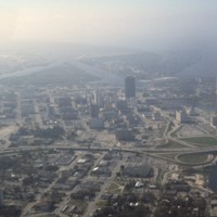
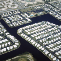
Here is another aerial photograph of downtown Tampa. The major body of water in the background is known as Tampa Bay. Running right through the middle of this picture is State Road 93 and Interstate 275. As part of the Florida Department of…

http://www.ricdigitalcommons.com/temp/1149.jpg
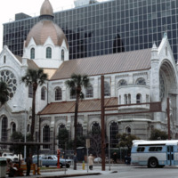
The Sacred Heart Catholic Church is one of the oldest churches in the city of Tampa, Florida. Originally deeded to be at Ashley Drive and Twiggs Street, the Sacred Heart Church was constructed in 1859 on North Florida Ave. With a growing parish, the…

http://www.ricdigitalcommons.com/temp/1150.jpg
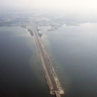
This is an aerial shot of the Howard Frankland Bridge connecting St. Petersburg to Tampa showing Causeway 275 on the Tampa side. The body of water it rests atop is the Old Tampa Bay. It was initially completed in the 1960s, and comprised of four…

http://www.ricdigitalcommons.com/temp/1153.jpg
Pictured is an aerial view of the Hillsborough River in the city of Tampa, Florida. The river originates in The Green Swamp located in central Florida and flows downward for 59 miles until it empties into Tampa Bay. The middle river is the city of…
http://www.ricdigitalcommons.com/temp/1154.jpg
Known for its Latin flare, Tampa’s Ybor City is one of the highlights for tourists visiting the city. Located northeast of downtown, this historic city was founded by a large number of cigar manufacturers. With red brick buildings, iron balconies,…

http://www.ricdigitalcommons.com/temp/1155.jpg
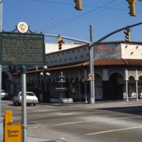
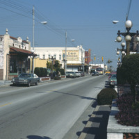
Ybor City’s 7th Avenue spans 11 blocks between 26th Street and the Nick Nuccio Parkway. Having been settled by many cigar manufacturers, 7th Avenue was known as the heart of the cigar industry. At one point, there were over 230 factories established…

http://www.ricdigitalcommons.com/temp/1156.jpg
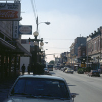
Here is another picture of downtown Ybor City on 7th Avenue. The first brick building on the left is Demmi’s Market, a small grocery store which is a favorite among locals for a slice of pizza in a lively atmosphere. The building behind Demmi’s…

http://www.ricdigitalcommons.com/temp/1157.jpg
Seen here is a densely packed neighborhood in St. Petersburg, Florida. The settlement of retired folks has been observed to be in abundance for this area. Along with many declines in housing during Workd War 1, the Great Depression, and World War 2,…

http://www.ricdigitalcommons.com/temp/1158.jpg
The first building seen here is the S. H. Kress & Co. building located in downtown St. Petersburg. This four-story building was built in 1927 as part of the S. H. Kress & Co. department store chain. The Kress company went out of business in…

http://www.ricdigitalcommons.com/temp/1160.jpg
The downtown area of St. Petersburg is known as the Central Business District of the city. Some buildings of significance in this area include: the Bank of America Tower, the headquarters of the Tampa Bay Times newspaper, and the Mahaffey Theater…

http://www.ricdigitalcommons.com/temp/1168.jpg
The Renaissance Vinoy Resort & Golf Club in St. Petersburg was built in 1925. The building was constructed in the Mediterranean Revival design complete with cypress-beamed ceilings and handmade tile work. The hotel also has its own private marina…

http://www.ricdigitalcommons.com/temp/1163.jpg
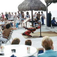
This picture was taken near the shores of Clearwater beach, located in Clearwater, Florida. People have gathered here to enjoy a vigorous limbo competition. The surrounding area here provides many sources of entertainment for its guests. The area is…

http://www.ricdigitalcommons.com/temp/1165.jpg
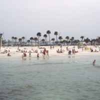
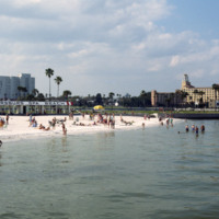
Clearwater Beach, a year-round vacation spot, spans 3 miles along the coast of Florida. With its clean white sand and various attractions, this beach, located just 20 miles from the Tampa International Airport, makes the perfect vacation spot for any…

http://www.ricdigitalcommons.com/temp/1167.jpg
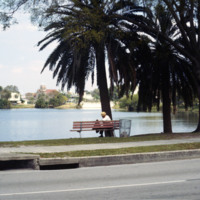
Photographed from Mirror Lake Drive, Mirror Lake is one of many lakefront neighborhoods in St. Petersburg. Mirror Lake is located in a section of St. Petersburg known as Round Lake Historic District, designated as such in 2003. In this picture the…

http://www.ricdigitalcommons.com/temp/1159.jpg
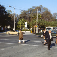
Pictured across the street on the corner of 1st and 4th Avenues (North) in St. Petersburg is the World War Heroes Memorial in Williams Park. Engrave with the word “loyalty” located at the top, this memorial was erected by the St. Petersburg chapter…

http://www.ricdigitalcommons.com/temp/1171.jpg
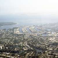
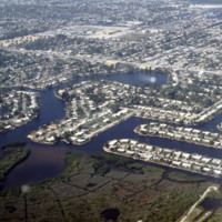
These housing developments, built on various water ways through a process of dredging & filling, can be found all over the coasts of St. Petersburg. Many of these neighborhoods were developed in the early 1950s along the Gulf Beaches and western…

http://www.ricdigitalcommons.com/temp/1175.jpg
These housing developments, built on various water-ways through dredging & filling, can be found all over the coasts of St. Petersburg. Much of these neighborhoods were developed in the early 1950’s during a period of dredging and filling along…

http://www.ricdigitalcommons.com/temp/1161.jpg
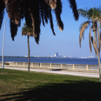
This picture shows the skyline of Tampa from St. Petersburg. The body of water separating the two cities is the Tampa Bay. The large dark colored building in the center of the photo is the Lykes Building, now called Park Tower. The two cities can be…

http://www.ricdigitalcommons.com/temp/1172.jpg
Know as the “Inverted Pyramid Pier” by local St. Petersburg residents, this famous pier was constructed in 1973 as a landmark of the city’s downtown waterfront area. This pier replaced the 1926 Million Dollar Pier which was torn down to make way for…

http://www.ricdigitalcommons.com/temp/1173.jpg
The Spa Beach in St. Petersburg, FL is open year round and is a popular beach for locals and tourists. The beach is also connected to the Spa Beach park seen in the foreground. The location of the beach and the need for more tourism dollars coming…

http://www.ricdigitalcommons.com/temp/1177.jpg
This is an aerial view of downtown Saint Petersburg, Florida in 1978. Mirror Lake can be seen in the photo as well as the harbor off in the distance, which houses the St. Petersburg Municipal Marina. Located right in front of the marina are the…
http://www.ricdigitalcommons.com/temp/1178.jpg
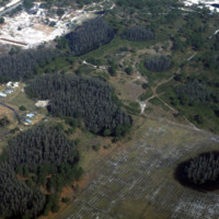
St. Petersburg and Pinellas County lies in what is called a “sinkhole alley.” The towns of Pasco, Hillsborough and Hernando, which leads the state in sinkhole claims, have all had issues concerning sinkholes developing on private property. Pictured…

http://www.ricdigitalcommons.com/temp/1183.jpg
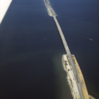
The Bob Graham Sunshine Skyway Bridge is 21,877 feet long (4.1 miles) and is considered part of I-275 and US 19. The bridge spans across Tamp Bay and connects St. Petersburg to Pinellas County in Manatee County Florida. Some parts of this bridge are…

http://www.ricdigitalcommons.com/temp/1185.jpg
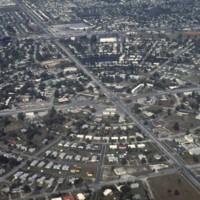
This is an aerial photograph of Saint Petersburg’s Meadowlawn Neighborhood. The land this neighborhood is built on was once a bog with woods and weeds as well as a place where cattle would come to graze from two local dairy farmers. Before it was…

http://www.ricdigitalcommons.com/temp/1191.jpg
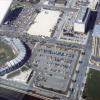
Below is a photo of the Progress Energy Park baseball stadium and the Bayfront Tower Condominium complex. The stadium was rebuilt in 1976, so at the time this photo was taken (March 1978), the reconstruction was only about two years old. The park…
http://www.ricdigitalcommons.com/temp/1192.jpg
These housing developments, built on various water-ways through what can be an environmentally harmful dredging & filling process, can be found all over the coasts of St. Petersburg. Much of these neighborhoods were developed in the early 1950’s…

1213.jpg
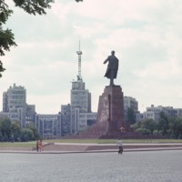
Chet Smolski describes this building as a science research building of the 1920s. This building is part of Karazin Kharkov National University. The park from which the photo was taken is called Svobody Square or Freedom Square. The building is a…

1217.jpg
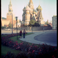
Saint Basils cathedral was commissioned in 1555 by Ivan the Terrible to commemorate the capture of Kazan form the Tartars in 1552. The cathedral’s official name is the Cathedral of the Intercession of the Virgin, which also represents the date that…

http://www.ricdigitalcommons.com/temp/1219.jpg
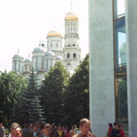
The taller building in the foreground, and located right behind the Cathedral of the Annunciation, is the Ivan The Great Bell Tower. The Bell-Tower was built in 1505-1508 by Italian architect Bon Fryazin. A century later another arcade for bells was…

http://www.ricdigitalcommons.com/temp/1220.jpg
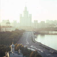
The high rise building pictured is the Kotel’nicheskaia Embankment Building (alternate spelling Kotenicheskaya), a high rise apartment building in Moscow. It was built as part of the vysotki (tall building) project which added seven high rise…

http://www.ricdigitalcommons.com/temp/1221.jpg
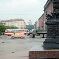
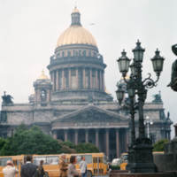
While multiple versions of St. Isaac Cathedral had been attempted in the 18th century none had been completed to specification. At the beginning of the 19th century Alexander I commissioned this final, and much more grand vision of the Saint Isaac's…

http://www.ricdigitalcommons.com/temp/1222.jpg
The State Historical Museum is located at the end of Red Square in Moscow. It was designed by Sherwood and Semyonov (Berton, 177) at the end of the nineteenth century. It’s facade employs a psuedo-Russian style which arbitrarily incorporates designs…

http://www.ricdigitalcommons.com/temp/1227.jpg
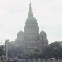
The Annunciation Cathedral is a Neo-Byzantine building in Kharkiv, Ukraine. It was designed at the end of the Byzantine Revival by Mikhail Lovtsov, an architect local to Kharkiv. Completed in 1901, it’s 80-meter bell tower made it one of the tallest…

http://www.ricdigitalcommons.com/temp/1228.jpg
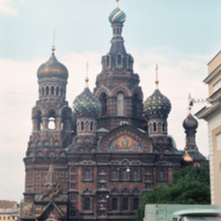
Following the assassination of Alexander the II in 1881, his heir, Alexander III, commissioned the building of this cathedral to memorialize his father. The design, carried out by Alfred Parland, draws heavily from St. Basil in Moscow. Following the…

http://www.ricdigitalcommons.com/temp/1229.jpg
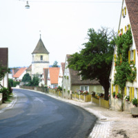
Dornhausen is a municipality in Bovaria, Germany. This 1969 photograph shows the church on main road 13. This small village had a population of 232 in a 2010 census. Notable in this 1969 photograph are the flower beds lining the road, which were…

http://www.ricdigitalcommons.com/temp/1231.jpg
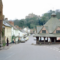
Dunster has been recognized as one of England’s best preserved medieval villages. The city developed a market for woolen and clothing production as early as the 13th century. The Yarn Market, the octagonal building at the right of the frame, was…

http://www.ricdigitalcommons.com/temp/1232.jpg
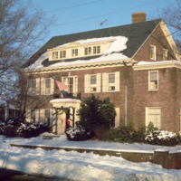
This photograph shows the residence of former Providence Mayor, “Buddy” Cianci. The house is located on the east side of Providence, the most affluent neighborhood of the city, notable for it’s high property values and low unemployment. This…

http://www.ricdigitalcommons.com/temp/1233.jpg
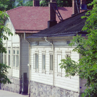
This photograph shows the density of residential housing in Turku, a city on the southwest coast of Finland. Smolski notes that the houses are built in a style similar to that of Russian housing. This photograph was made in 1974.

http://www.ricdigitalcommons.com/temp/1234.jpg
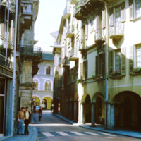
Bellinzona is a city in Switzerland famous for it’s three castles. It’s location at the foot of the Alps made it a strategic point for fortification since the Roman Empire. This photograph shows a street scene in Bellinzona during the late 1960s.

http://www.ricdigitalcommons.com/temp/1235.jpg
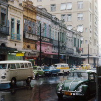
This photograph shows contrasting styles of architecture in downtown Rio de Janeiro. Here we see a row of 19th century buildings on Rua Acre with the modernist twenty two story building, The Night, at the end of the street. The older buildings are…

http://www.ricdigitalcommons.com/temp/1236.jpg
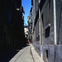
Zaragoza is an old city whose collective architecture is a pastiche of Roman ruins, Islamic palaces, cathedrals and pst-modern architecture. This photograph shows narrow streets and historic buildings typical to Zaragoza (Saragossa in English). The…
Output Formats

atom, dcmes-xml, json, omeka-xml, rss2