Browse Items (657 total)

  • Collection: Baxter Collection of Images of Cape Verde

http://www.ricdigitalcommons.com/Baxter_temp/CV-81-107.jpg
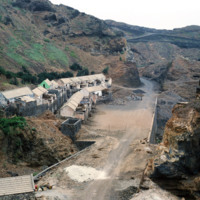
Road to Paùl, now much improved, was once inaccessible. Today there is a modern new road built on the edge of the cliffs offering a path to the interior of the island.

http://www.ricdigitalcommons.com/Baxter_temp/CV-81-108.jpg
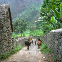
This coastal road, on the northern coast of Santo Antão, connects the towns of Ribeira Grande and Paúl. The road is gravel and dirt, and is, as one can see in this photograph, largely used for foot traffic. The road, for much of it's lebth, is…

http://www.ricdigitalcommons.com/Baxter_temp/CV-81-109.jpg
Looking east on a coastal road that connects the small town of Paúl to Ribeira Grande. This area of the island is known for it's rough surf and high winds.

http://www.ricdigitalcommons.com/Baxter_temp/CV-81-110.jpg
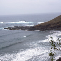
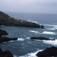
This stormy view of the northeastern coast of Santo Antão shows the high winds and heavy surf that constantly belts this region of the island. The photo is taken from a coastal road that connects Ribeira Grande to Paúl.

http://www.ricdigitalcommons.com/Baxter_temp/CV-81-112.jpg
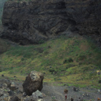
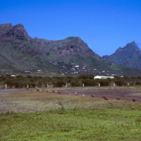
Small village on the road to Paùl where the terrain is recommended to be traversed by a 4 wheel drive vehicle. Possibly a farm to the left, here you can see a great example of the sheer cliffs that make up the landscape of this area. The road…
http://www.ricdigitalcommons.com/Baxter_temp/CV-81-113.jpg
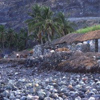
Possibly a cloister or monastery now abandoned. The rocky coastline on the way to Paùl shows how treacherous the terrain is.

http://www.ricdigitalcommons.com/Baxter_temp/CV-81-117.jpg
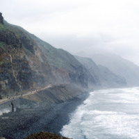
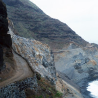
This coastal road to Paùl heading west is cut into the mountains. The mountains descend steeply into the ocean. The single-track road is paved with dirt.

http://www.ricdigitalcommons.com/Baxter_temp/CV-81-119.jpg
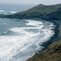
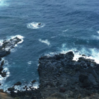
A rocky inlet pictured from above. It is taken at a distance from the road to Paùl and a lone fisherman is seen. It dramatizes the steep and dramatic drop just at the edge of the road. Volcanic rock juts out into the water from the coast.

http://www.ricdigitalcommons.com/Baxter_temp/CV-81-120.jpg
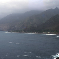
A view of a bay and seaside settlements. The mountains begin rising directly from the ocean and crest in foggy peaks. The mountains appear to have black soil because much of the land is made up of volcanic rock.

http://www.ricdigitalcommons.com/Baxter_temp/CV-81-121.jpg
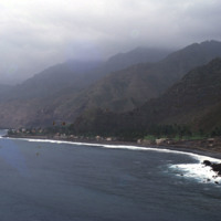
An alternate view of the village pictured in the previous slide. The mountains begin rising directly from the ocean and crest in foggy peaks. The mountains appear to have black soil because much of the land is made up of volcanic rock.

http://www.ricdigitalcommons.com/Baxter_temp/CV-81-122.jpg
The peaks lining the Ribeira do Paùl. It shows terraces built into the side of the mountains. This area is often compared to the landscape of Hawaii. It is very green and the land is composed of a good deal of volcanic residue. Volcanic dust is…

http://www.ricdigitalcommons.com/Baxter_temp/CV-81-123.jpg
The peaks lining the Ribiera do Paùl. It shows a group of homes built into the side of the mountains. This area is often compared to the landscape of Hawaii. It is very green and the land is composed of a good deal of volcanic residue.

http://www.ricdigitalcommons.com/Baxter_temp/CV-81-124.jpg
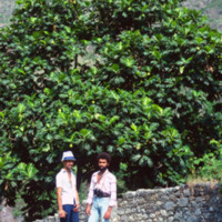
Two unidentified men on a road in the Ribiera do Paùl. They are pictured in front of a large tree and a stonewall. The same men are pictured in slide CV81135.

http://www.ricdigitalcommons.com/Baxter_temp/CV-81-125.jpg
This is one of the sugar cane estate located on the lush landscape of Paùl. Water in this valley town flows in streams throughout the year providing the area with rich vegetation.

http://www.ricdigitalcommons.com/Baxter_temp/CV-81-126.jpg
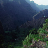
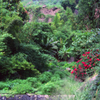
Example of Paùl's luxurious landscape. While most of the island suffers from drought, Paùl enjoys a subtropical climate with rich forests. Here you can see the evidence of the volcanic origins in the high steep mountains.

http://www.ricdigitalcommons.com/Baxter_temp/CV-81-127.jpg
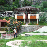
A man is pictured in the yard of a farmstead. A newer wall made out of rock and concrete is pictured.

http://www.ricdigitalcommons.com/Baxter_temp/CV-81-128.jpg
A view from a distance of the interior yard of a home. Walls with terraced farm plot, homes rise behind the home. Three homes are visible that have been built into the gradation of the mountain. The picture shows how the planning of this area has…

http://www.ricdigitalcommons.com/Baxter_temp/CV-81-129.jpg
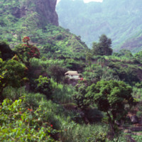
A traditional stone cottage nestled in the rising mountains. One of the resources of Cape Verde is stone. There are many abandoned stone cottages that exhibit beautiful traditional craftsmanship.The peaks rise behind the home.

http://www.ricdigitalcommons.com/Baxter_temp/CV-81-130.jpg
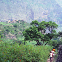
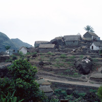
Stone houses with thatched roof located high in the distance against a massive shear mountain face. The land here is rocky, but with abundant plant life. The children appear to be heading back to the homes or leaving carrying baskets perhaps to…

http://www.ricdigitalcommons.com/Baxter_temp/CV-81-131.jpg
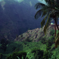
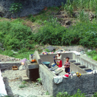
More evidence of the tropical climate this island experiences with lush landscape including palm trees. The deep valleys tin this photograph are dramatically captured here. The people at the bottom of the picture are possibly washing their clothes.

http://www.ricdigitalcommons.com/Baxter_temp/CV-81-132.jpg
Another view of the previous picture with the women at the bottom. Here you can see they are washing their clothes at a rural fountain.

http://www.ricdigitalcommons.com/Baxter_temp/CV-81-133.jpg
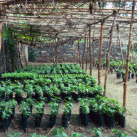
A nursery containing dozens of young cassava plants. Cassava is one of the main crops grown in Cape Verde. The land near Paùl is among the most fertile in Cape Verde. Farming communities often form organizations to pool funds for the development…

http://www.ricdigitalcommons.com/Baxter_temp/CV-81-134.jpg
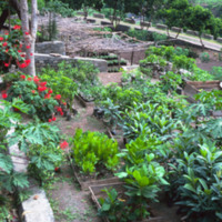
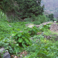
A terraced garden along the Ribiera do Paùl. The land is the most fertile in Cape Verde. Volcanic dust is extracted from this region for making cement bricks. It is often compared to the landscape of Hawaii.

http://www.ricdigitalcommons.com/Baxter_temp/CV-81-135.jpg
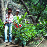
A portrait of two unidentified men, also pictured in CV81124, at a terraced farm in the Ribiera do Paùl. Several types of plant are pictured in the scene, including cassava.This land is the most fertile in Cape Verde.

http://www.ricdigitalcommons.com/Baxter_temp/CV-81-136.jpg
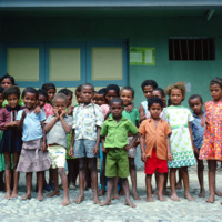
A portrait of a large group of children between the ages of 5 and 8 years old. There are 26 children pictured. It appears to be taken outside of a school within Ribiera do Paül.

http://www.ricdigitalcommons.com/Baxter_temp/CV-81-137.jpg
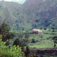
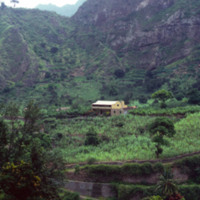
A picture from along the Ribiera do Paùl portraying a house and a terraced agricultural landscape set against a mountainous backdrop. The land is the most fertile in Cape Verde. It is likely a sugarcane farm. Volcanic dust is extracted from this…

http://www.ricdigitalcommons.com/Baxter_temp/CV-81-138.jpg
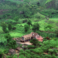
A farmstead set in the Ribiera do Paùl. A good aerial view of the home and surrounding fields is provided. Paths between plots are shown. The shot provides a good overview of a sugar cane farm.

http://www.ricdigitalcommons.com/Baxter_temp/CV-81-139.jpg
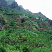
A shot of a cliff side plantation in Ribeira de Paùl. This shows the severity of the shear cliff faces on this island, the various houses on the land and the terraced farming that is commonplace in this area.

http://www.ricdigitalcommons.com/Baxter_temp/CV-81-140.jpg
A glimpse of the daily life in Ribeira de Paül. In dry areas, there are a few forms of livestock farming with small scale being the most common and widespread. Livestock farming is highly dependent on animal feed and accounts for a large portion of…

http://www.ricdigitalcommons.com/Baxter_temp/CV-81-142.jpg
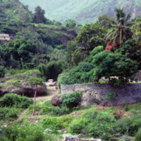
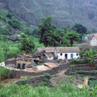
Scenic view of a small village or family estates with lush greenery and stone walls in Ribeira do Paul.

http://www.ricdigitalcommons.com/Baxter_temp/CV-81-143.jpg
Another example of terraced landscapes. The terracing is a means of soil conservation since the island has relatively low rainfall. Clothes are spread out on rocks to dry.

http://www.ricdigitalcommons.com/Baxter_temp/CV-81-144.jpg
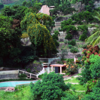
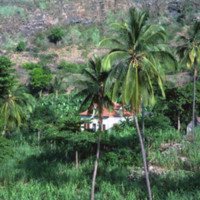
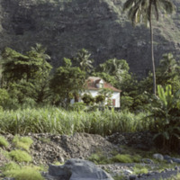
Photo of John Peter Santos' Fornalha, Paùl home in Cape Verde. Mr. Santos is known to many Cape Verdeans in America. Before his death on August 10, 2007, he dedicated his life in trying to improve the standards of life, health and welfare for the…

http://www.ricdigitalcommons.com/Baxter_temp/CV-81-145.jpg
Another view of John Peter Santos' home on Cape Verde.

http://www.ricdigitalcommons.com/Baxter_temp/CV-81-146.jpg
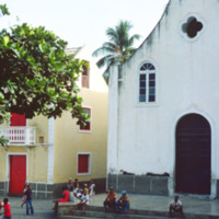
One of many churches on the island of Cape Verde. The religions of the island are Roman Catholic and Protestant. Roman Catholicism makes up over 90% of the population, but has no state religion as there is a separation of church and state.

http://www.ricdigitalcommons.com/Baxter_temp/CV-81-147.jpg
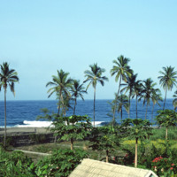
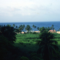
Tropical scene along the coastline in and around Paùl.

http://www.ricdigitalcommons.com/Baxter_temp/CV-81-148.jpg
A cluster of houses set against the coast of Santo Antão. The rugged coastline of Paùl is quite striking with its mountains descending to the sea. Palm trees are also visible around the village.

http://www.ricdigitalcommons.com/Baxter_temp/CV-81-149.jpg
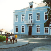
Four children are pictured in the courtyard of a sky blue building. Cape Verdè is filled with sobrado architecture. These buildings commonly feature fine woods and tiles imported from Europe and West Africa. The home features a sloping roof common…

http://www.ricdigitalcommons.com/Baxter_temp/CV-81-150.jpg
These traditional stone cottages are set against a mountainous backdrop. One of the abundant natural resources in Cape Verdè is stone. Many of the traditional and modern structure are built from stone. They feature thatched roofs. These…

http://www.ricdigitalcommons.com/Baxter_temp/CV-81-151.jpg
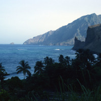
A view of the mountainous coastline around Paùl. Craggy mountains descend into the sea and cliffs are visible. The picture shows how striking and rugged the coastline can be. Slide CV-81-159 shows the same section of coastline at less of a…

http://www.ricdigitalcommons.com/Baxter_temp/CV-81-152.jpg
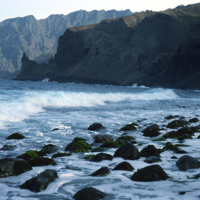
The coastline of Santo Antoão is rocky and jagged. At some points the mountains descend directly to the coastline, as seen here.

http://www.ricdigitalcommons.com/Baxter_temp/CV-81-153.jpg
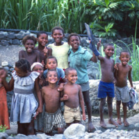
A dozen children pictured by a stone pond. In the background is what appears to be some of the irrigation infrastructure of a farm. The children are between the ages of 5 and 12.

http://www.ricdigitalcommons.com/Baxter_temp/CV-81-178.jpg
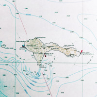
Detail from a map of Cape Verde showing São Nicolau. The island is in the northwest section of the Cape Verde archipelago and is in the windward group known as Barlavento. This map detail is from a larger map published in 1970.

http://www.ricdigitalcommons.com/Baxter_temp/CV-81-180.jpg
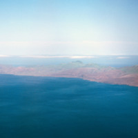
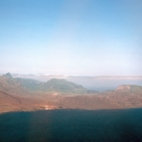
Aerial view of the coastline of São Nicolau. Pictured are rocky and dry mountains descending dramatically into the ocean. The islands dry and mountainous exterior presents a barrier to the lush fertile land in the center.

http://www.ricdigitalcommons.com/Baxter_temp/CV-81-181.jpg
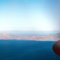
Aerial view of the coastline of São Nicolau. Pictured are rocky and dry mountains descending dramatically into the ocean. The green tops of the mountains provide a hint to the lush land behind them.

http://www.ricdigitalcommons.com/Baxter_temp/CV-81-182.jpg
Aerial view of the coastline of São Nicolau. The green tops of the mountains provide a hint to the lush land behind them. The island has some of the most fertile land in the archipelago.

http://www.ricdigitalcommons.com/Baxter_temp/CV-81-183.jpg
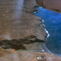
Aerial view of an inlet into a rocky and dry coastline. Four structures are pictured. They may be homes or fisheries.

http://www.ricdigitalcommons.com/Baxter_temp/CV-81-185.jpg
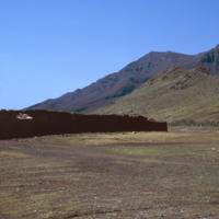
A dilapidated stone structure set in the flatlands near mountains. The structure is adjacent to the airport in Rio Brava. The more modern stone structures represent the artistry and handiwork of the craftsmen who built them.

http://www.ricdigitalcommons.com/Baxter_temp/CV-81-186.jpg
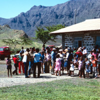
A crowd gathered at the building of the airport in Ribiera Brava. The building looks relatively new and has a corrugated tin roof. The mountains are visible in the background.

http://www.ricdigitalcommons.com/Baxter_temp/CV-81-187.jpg
The airport landing strips in Ribiera Brava. The homes built into the mountains are visible in the background. The ribiera remains green even in the dry season. The narrow flat section between the mountains is used as a road as well.
Output Formats

atom, dcmes-xml, json, omeka-xml, rss2