Browse Items (657 total)

  • Collection: Baxter Collection of Images of Cape Verde

http://www.ricdigitalcommons.com/Baxter_temp/CV-81-054.jpg
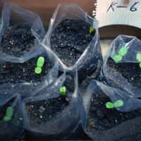
Seedling of "leucina," a non-governmental reforestation experiment conducted by David Baxter, Pedro Almeida, John P. Santos and Joe Alves Jr.

http://www.ricdigitalcommons.com/Baxter_temp/CV-81-053.jpg
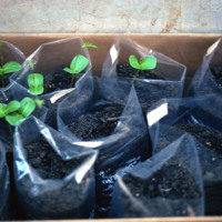
Seedling of "leucina," a non-governmental reforestation experiment conducted by David Baxter, Pedro Almeida, John P. Santos and Joe Alves Jr.

http://www.ricdigitalcommons.com/Baxter_temp/CV-81-051.jpg
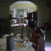
Young boys in Mindelo make government supported pottery for marketing to tourists.

http://www.ricdigitalcommons.com/Baxter_temp/CV-81-050.jpg
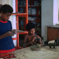
Examples of government supported pottery. Here, two boys in Mindelo make clay figures to be fired and marketed to tourists.

http://www.ricdigitalcommons.com/Baxter_temp/CV-81-049.jpg
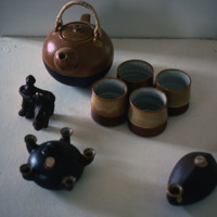
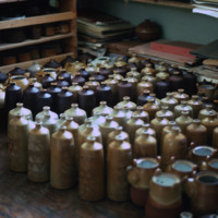
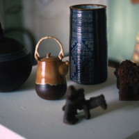
Examples of government supported pottery made for tourists in Mindelo.

http://www.ricdigitalcommons.com/Baxter_temp/CV-81-048.jpg
Examples of government supported pottery marketed at tourists. This photograph was taken in Mindelo.

http://www.ricdigitalcommons.com/Baxter_temp/CV-81-047.jpg
Examples of government supported tourist pottery in Mindelo.

http://www.ricdigitalcommons.com/Baxter_temp/CV-81-040.jpg
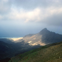
A view from atop Monte Verde, São Vicente's tallest point.

http://www.ricdigitalcommons.com/Baxter_temp/CV-81-039.jpg
A landscape photograph taken from atop Monte Verde shows Mindelo, Porto Grande, and neighboring island Santo Antão on the horizon. Monte Verde is São Vicente's highest peak.

http://www.ricdigitalcommons.com/Baxter_temp/CV-81-038.jpg
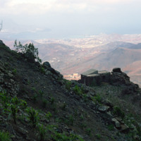
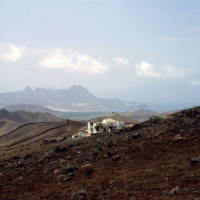
A stone dwelling on the side of Monte Verde, São Vicente's tallest peak, overlooks Mindelo and Porto Grande.

http://www.ricdigitalcommons.com/Baxter_temp/CV-81-037.jpg
View of Ribeira Calhau from Monte Verde. Following the ribeira is a road that connects Calhau and Mindelo. Calhau, a fishing village that is a popular weekend resort for tourists and residents of Mindelo.
http://www.ricdigitalcommons.com/Baxter_temp/CV-81-035.jpg
View from Monte Verde looking to the northern coast of São Vicente. Monte Verde is the highest peak on São Vicente and was home to some of the first permanent settlements on the island.

http://www.ricdigitalcommons.com/Baxter_temp/CV-81-034.jpg
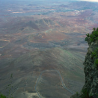
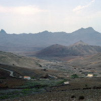
The view from Monte Verde, looking west. Most of the island is as it appears here, barren, rocky and sparsely populated.

http://www.ricdigitalcommons.com/Baxter_temp/CV-81-033.jpg
The view from Monte Verde shows the barren landscape of São Vicente. The island, which has few natural resources, is sparsely populated outside of Mindelo, one of the largest Cape Verde cities and the cultural capital of the country. Over ninety-two…

http://www.ricdigitalcommons.com/Baxter_temp/CV-81-032.jpg
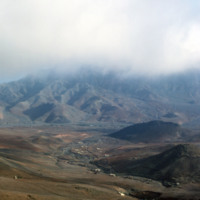
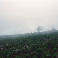
A misty landscape photographed on Monte Verde, the highest point on São Vicente.

http://www.ricdigitalcommons.com/Baxter_temp/CV-81-031.jpg
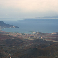
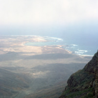
View from the top of Monte Verde to the coast of São Vicente. Mounte Verde is the highest point on São Vicente. This view, looking north/north-east shows Baía das Gatas on the horizon, a bay with a natural barrier that makes it as popular for…

http://www.ricdigitalcommons.com/Baxter_temp/CV-81-030.jpg
Road to the top of Monte Verde, the highest peak on São Vincente. From the top of the mountain there are spectacular views of the surrounding area, including the peaks of Santa Altão and the harbor at Mindelo. At the peak of the mountain there is a…

http://www.ricdigitalcommons.com/Baxter_temp/CV-81-029.jpg
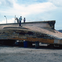
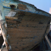
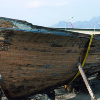
A wooden ship in Mindelo is brought ashore for repairs.

http://www.ricdigitalcommons.com/Baxter_temp/CV-81-028.jpg
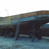
Wooden boat in dock at Mindelo. The boat is being repaired.

http://www.ricdigitalcommons.com/Baxter_temp/CV-81-027.jpg
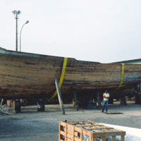
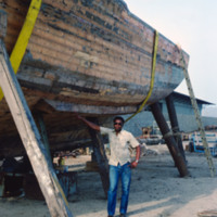
A wooden fishing boat is put in dry dock for repair in Mindelo. A man poses beside the boat for scale.

http://www.ricdigitalcommons.com/Baxter_temp/CV-81-026.jpg
A man poses by a wooden fishing boat in Mindelo. The boat has been put in dry dock for repairs.

http://www.ricdigitalcommons.com/Baxter_temp/CV-81-025.jpg
A wooden fishing boat is put in dry dock for repair in Mindelo.

http://www.ricdigitalcommons.com/Baxter_temp/CV-81-024.jpg
Repairing a wooden fishing boat in Mindelo.

http://www.ricdigitalcommons.com/Baxter_temp/CV-81-023.jpg
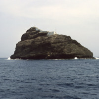
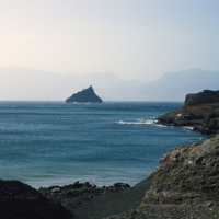
A volcanic seamont in the Atlantic Ocean, Ilhéu de Pássaros is an uninhabited rock that marks the border between the Bay of Mindelo and the Canal de São Vicente. The only structure on the islet is a lighthouse.

http://www.ricdigitalcommons.com/Baxter_temp/CV-81-021.jpg
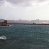
One of the docks of Porto Grande extends into the Bay of Mindelo in this sescape image. On the shore are storage facilities and some ships can be seen heading towards port. Since the island was liberated from colonial rule in the 1970s the port has…

http://www.ricdigitalcommons.com/Baxter_temp/CV-81-020.jpg
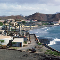
Photograph from Porto Grande looking west toward Mindelo. In the foreground, an unidentified industrial complex neighboring the port.

http://www.ricdigitalcommons.com/Baxter_temp/CV-81-019.jpg
A volcanic seamont, the Ilhéu dos Pássaros, marks the boarder between the Bay of Mindelo and the Canal de São Vicente.

http://www.ricdigitalcommons.com/Baxter_temp/CV-81-018.jpg
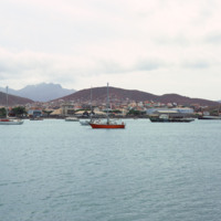
A fishing vessel in the Bay of Mindelo. São Vicente's greatest natural resource is it's harbor, which is home to Porto Grande, and has helped make Mindelo one of the largest cities in the nation as well as the cultural center.

http://www.ricdigitalcommons.com/Baxter_temp/CV-81-017.jpg
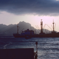
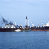
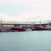
Ships in the Bay of Mindelo. Largely devoid of all other natural resources, Mindelo's economy has evolved around it's natural harbor.

http://www.ricdigitalcommons.com/Baxter_temp/CV-81-016.jpg
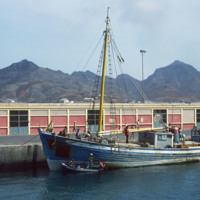
A fishing vessel docked at Porto Grande on the island São Vicente. Allowed to fall into disrepair during the mid-twentieth century, Porto Grande has been since revitalized. A major part of the ports activity revolves around fishing.

http://www.ricdigitalcommons.com/Baxter_temp/CV-81-015.jpg
Ships docked at Porto Grande, in the Bay of Mindelo. The port is one of Cape Verde's main ports for receiving imports. Since independence in the 1970s the port has been improved on and is an important part of the local and national economy.

http://www.ricdigitalcommons.com/Baxter_temp/CV-81-014.jpg
Porto Grande is photographed from the Bay of Mindelo in 1981. São Vicente has virtually no natural water supply and for years it's only major natural resource was the excellent harbor created by the Bay of Mindelo. Despite the lack of resources, the…

http://www.ricdigitalcommons.com/Baxter_temp/CV-81-013.jpg
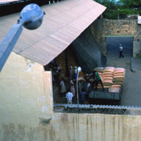
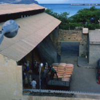
Scene at a warehouse in Porto Grande. Goods are loaded onto a truck, either to be moved to a ship or delivered locally.

http://www.ricdigitalcommons.com/Baxter_temp/CV-81-012.jpg
Scene at a Porto Grande warehouse. Goods are taken from storage and loaded onto a truck to be either shipped out or delivered locally.

http://www.ricdigitalcommons.com/Baxter_temp/CV-81-011.jpg
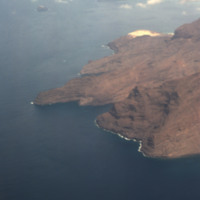
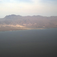
The rocky and barren shoreline of São Vicente seen from an airplane. Outside of Mindelo, one of Cape Verde's largest cities, much of the island is sparsely populated.

http://www.ricdigitalcommons.com/Baxter_temp/CV-81-010.jpg
An aerial view of the shoreline on São Vicente. This island is, as you can see, very barren and rocky, and lacks a steady supply of fresh water. Outside of Mindelo, which is a large city centered around Porto Grande, the island is sparsely populated.

http://www.ricdigitalcommons.com/Baxter_temp/CV-81-009.jpg
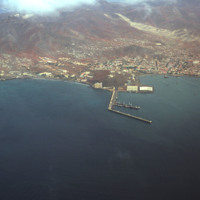
This aerial photograph shows the city Mindelo on the coast of São Vicente. Jutting off the shoreline into the water are the docks of Porto Grande. Porto Grande is the main port for São Vicente.

http://www.ricdigitalcommons.com/Baxter_temp/CV-81-008.jpg
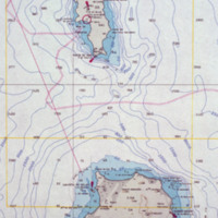
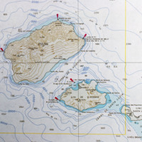
Detail from a topographical map of Cape Verde (see CV-81-001). This detail shows the islands São Antão, São Luzia and São Vicente.

http://www.ricdigitalcommons.com/Baxter_temp/CV-81-007.jpg
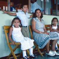
An unidentified family poses for a photograph at Amilcar Cabral International Airport.

http://www.ricdigitalcommons.com/Baxter_temp/CV-81-005.jpg
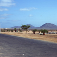
View from the runway at Amilcar Cabral International Airport. Later named for the revolutionary leader of the same name, the airport on Sal was originally built by the Italian government under Benito Mussolini. Following the end of the second World…

http://www.ricdigitalcommons.com/Baxter_temp/CV-81-004.jpg
A view of the barren landscape of Sal. The landscape here has been compared to the surface of Mars, and the islands main export is salt, and has been mined for such since before the 15th century. This photograph was taken near Amilcar Cabral…

http://www.ricdigitalcommons.com/Baxter_temp/CV-81-003.jpg
Sunset photograph from the island of Sal, a flat, windy and barren island whose main economy and export is salt. This photograph is taken from near Amilcar Cabral International Airport. The airport was originally built by Mussolini as a refueling…

http://www.ricdigitalcommons.com/Baxter_temp/CV-81-002.jpg
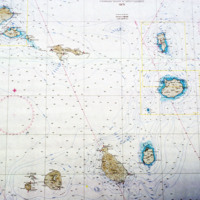
An enlarged view of a map of Cape Verde showing the islands Sal and Boavista.

http://www.ricdigitalcommons.com/Baxter_temp/CV-81-001.jpg
A topographical map of Cape Verde from 1971.

http://www.ricdigitalcommons.com/Baxter_temp/CV-80-216.jpg
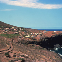
An unknown coastal village on São Nicolau.

http://www.ricdigitalcommons.com/Baxter_temp/CV-80-214.jpg
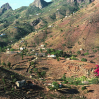
A picturesque landscape photograph of São Nicolau's hinterland. The village may be Fajã de Cima, a small settlement in the northwest interior of the island.

http://www.ricdigitalcommons.com/Baxter_temp/CV-80-212.jpg
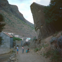
Children and woman in a dirt road in São Nicolau's interior valley.

http://www.ricdigitalcommons.com/Baxter_temp/CV-80-211.jpg
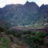
This landscape photograph shows the farm houses and small villages that dot São Nicolau's hinterland, a fertile interior valley that is the most agriculturally productive of the Cape Verde archipelago.

http://www.ricdigitalcommons.com/Baxter_temp/CV-80-210.jpg
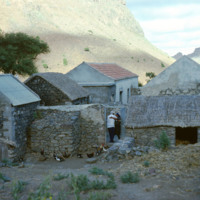
A man and woman embrace in the gateway to this farm in São Nicolau's hinterland. This man may be Bill Andrade, a New Bedford resident who reoccurs in many of David Baxter's photographs, always with his "capacete," or large, helmet like hat.

http://www.ricdigitalcommons.com/Baxter_temp/CV-80-209.jpg
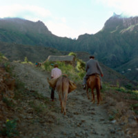
Two men travel a dirt path in this rural are of São Nicolau's hinterland. In this humid valley agriculture is the most productive of the archipelago but many of the farms are built into the mountain side and inaccessible to auto traffic. Once the…
Output Formats

atom, dcmes-xml, json, omeka-xml, rss2